Dominion Mountain Topo Map Online
Download Free Topo Map Sheet 104F01 at 1:50,000 scale
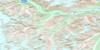
104F01 Dominion Mountain Topo Map
To view this map, mouse over the map preview on the right.
You can also download this topo map for free:
104F01 Dominion Mountain high-resolution topo map image.
Maps for the Dominion Mountain topo map sheet 104F01 at 1:50,000 scale are also available in these versions:
Dominion Mountain Surrounding Area Topo Maps
 |
|||
 |
|||
 |
© Department of Natural Resources Canada. All rights reserved.
Dominion Mountain Gazetteer
The following places can be found on topographic map sheet 104F01 Dominion Mountain:
Dominion Mountain Topo Map: Glaciers
Baird GlacierFlood Glacier
Mud Glacier
Dominion Mountain Topo Map: Mountains
Boundary RangesCoast Mountains
Devils Thumb
Dominion Mountain
Kates Needle
Mount Gilroy
T Mountain
Dominion Mountain Topo Map: Major municipal/district area - major agglomerations
Regional District of Kitimat-StikineDominion Mountain Topo Map: Rivers
Christina Creek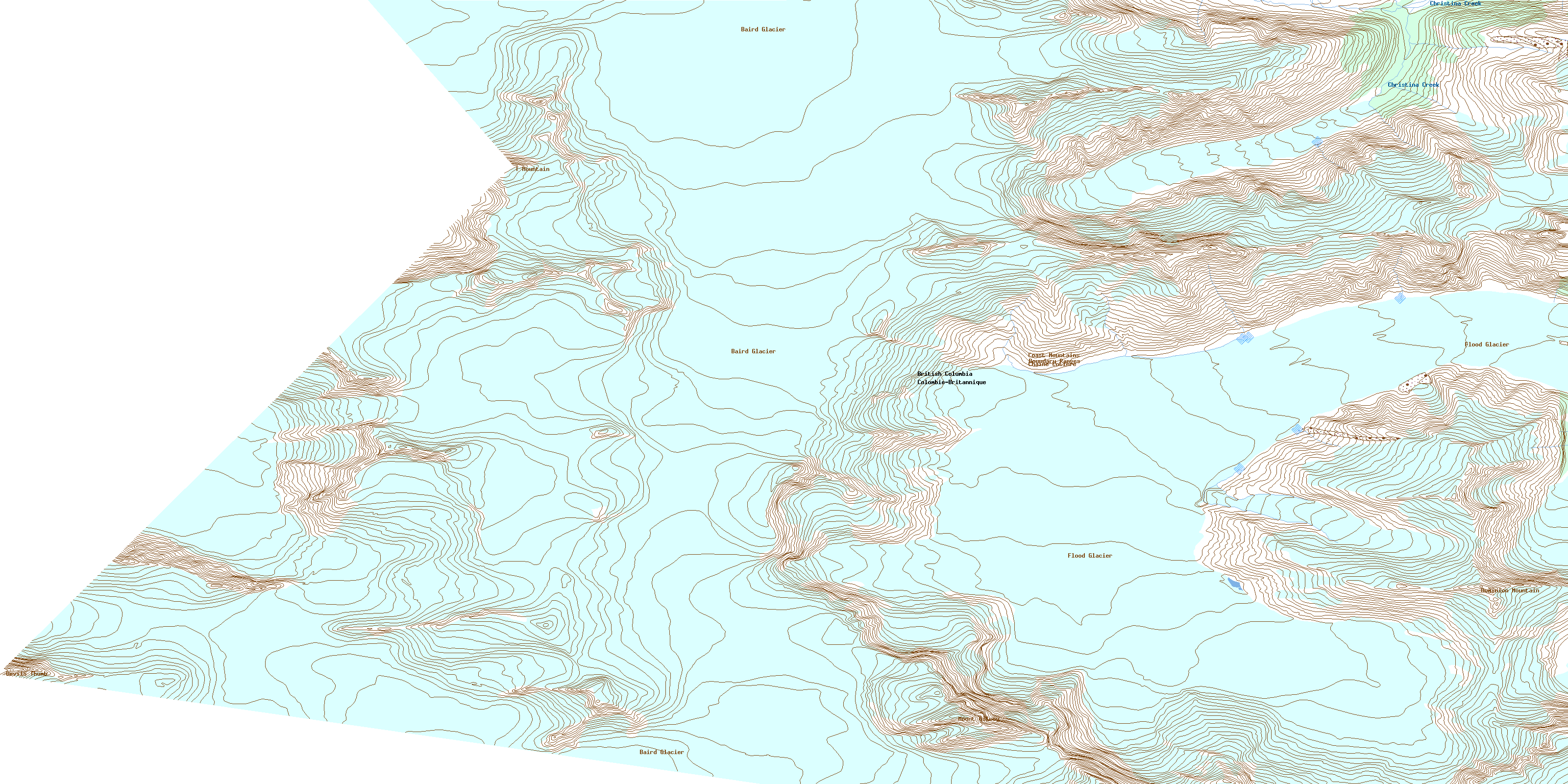
© Department of Natural Resources Canada. All rights reserved.
