Mount Billings Topo Map Online
Download Free Topo Map Sheet 105H02 at 1:50,000 scale
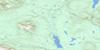
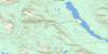
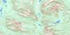
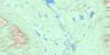
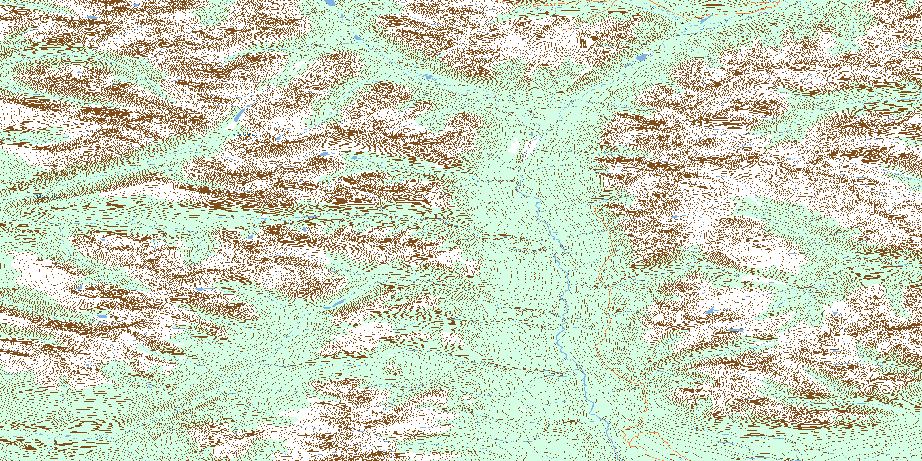
105H02 Mount Billings Topo Map
To view this map, mouse over the map preview on the right.
You can also download this topo map for free:
105H02 Mount Billings high-resolution topo map image.
Maps for the Mount Billings topo map sheet 105H02 at 1:50,000 scale are also available in these versions:
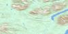
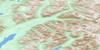
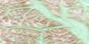
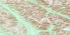
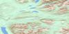
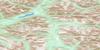
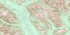
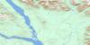
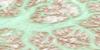
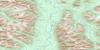
Mount Billings Surrounding Area Topo Maps
 |
 |
 |
 |
 |
 |
 |
 |
 |
 |
 |
 |
 |
 |
 |
 |
© Department of Natural Resources Canada. All rights reserved.
Mount Billings Gazetteer
The following places can be found on topographic map sheet 105H02 Mount Billings:
Mount Billings Topo Map: Mountains
Logan MountainsLogan Range
Mount Billings
Selwyn Mountains
Mount Billings Topo Map: Rivers
Conglomerate CreekDolly Varden Creek
French Creek
Jackpine Creek
Klatsa River
North Branch Creek
South Branch Creek
Spruce Creek
© Department of Natural Resources Canada. All rights reserved.
105H Related Maps:
105H Frances Lake105H01 Lower Hyland Lake
105H02 Mount Billings
105H03 Klatsa River
105H04 No Title
105H05 Money Creek
105H06 Nipple Mountain
105H07 Tyers River
105H08 Flood Creek
105H09 Ostensibility Creek
105H10 Anderson Lake
105H11 Thomas River
105H12 Leckie Lake
105H13 Mcpherson Lake
105H14 Tillei Lake
105H15 Shannon Creek
105H16 Tungsten
