Martin House Topo Map Online
Download Free Topo Map Sheet 106K14 at 1:50,000 scale
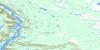
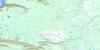
106K14 Martin House Topo Map
To view this map, mouse over the map preview on the right.
You can also download this topo map for free:
106K14 Martin House high-resolution topo map image.
Maps for the Martin House topo map sheet 106K14 at 1:50,000 scale are also available in these versions:
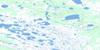
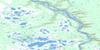
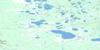
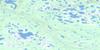
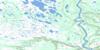
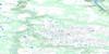
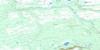
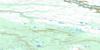
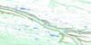
Martin House Surrounding Area Topo Maps
 |
 |
 |
 |
 |
 |
 |
 |
 |
 |
 |
 |
 |
 |
 |
 |
© Department of Natural Resources Canada. All rights reserved.
Martin House Gazetteer
The following places can be found on topographic map sheet 106K14 Martin House:
Martin House Topo Map: Rivers
Arctic Red RiverBluefish Creek
Jackfish Creek
Swan Creek
Martin House Topo Map: Territory
Northwest TerritoriesTerritoires du Nord-Ouest
Martin House Topo Map: Unincorporated areas
Martin House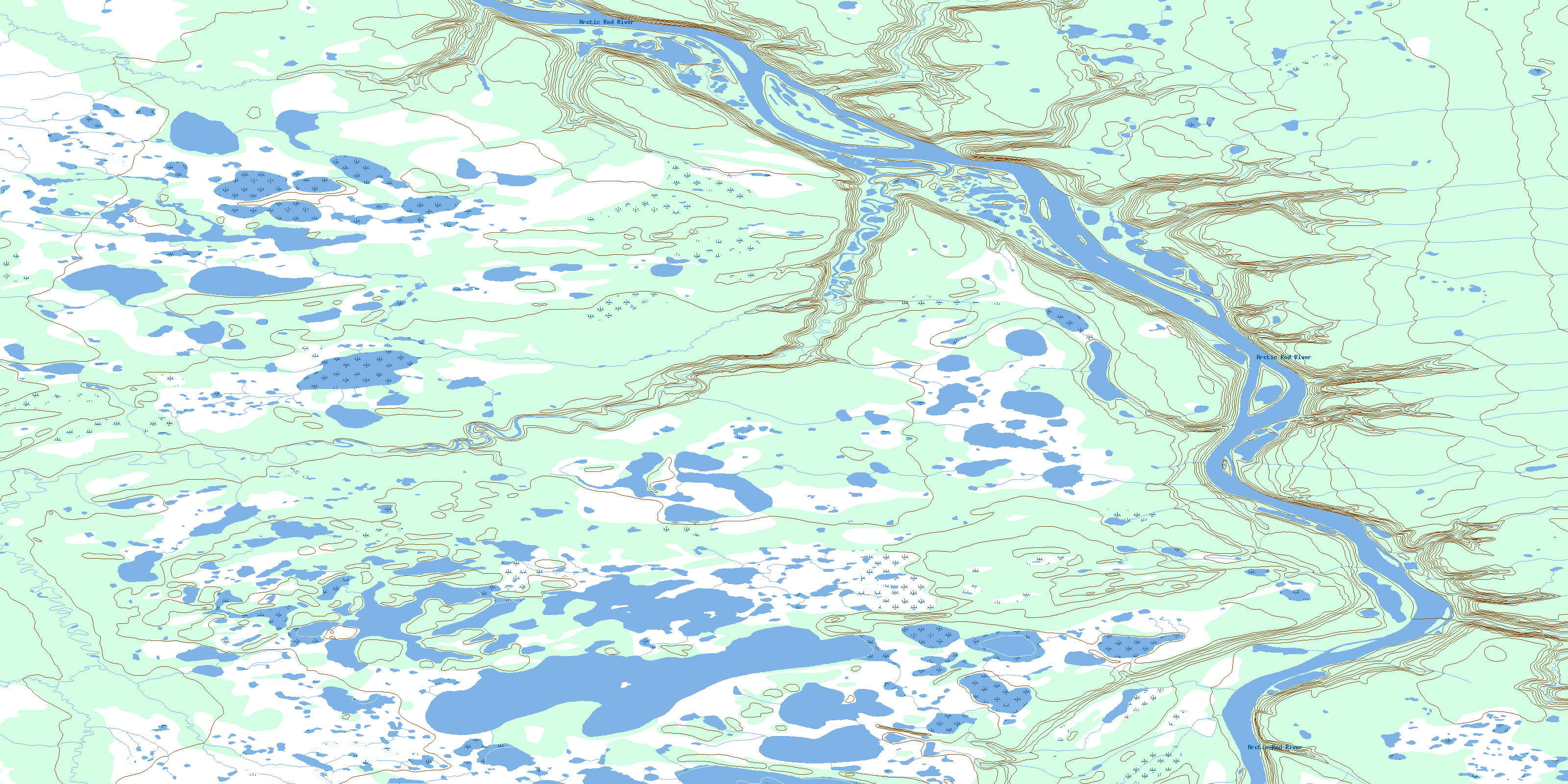
© Department of Natural Resources Canada. All rights reserved.
