Mount Constantine Topo Map Online
Download Free Topo Map Sheet 115F07 at 1:50,000 scale
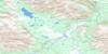
115F07 Mount Constantine Topo Map
To view this map, mouse over the map preview on the right.
You can also download this topo map for free:
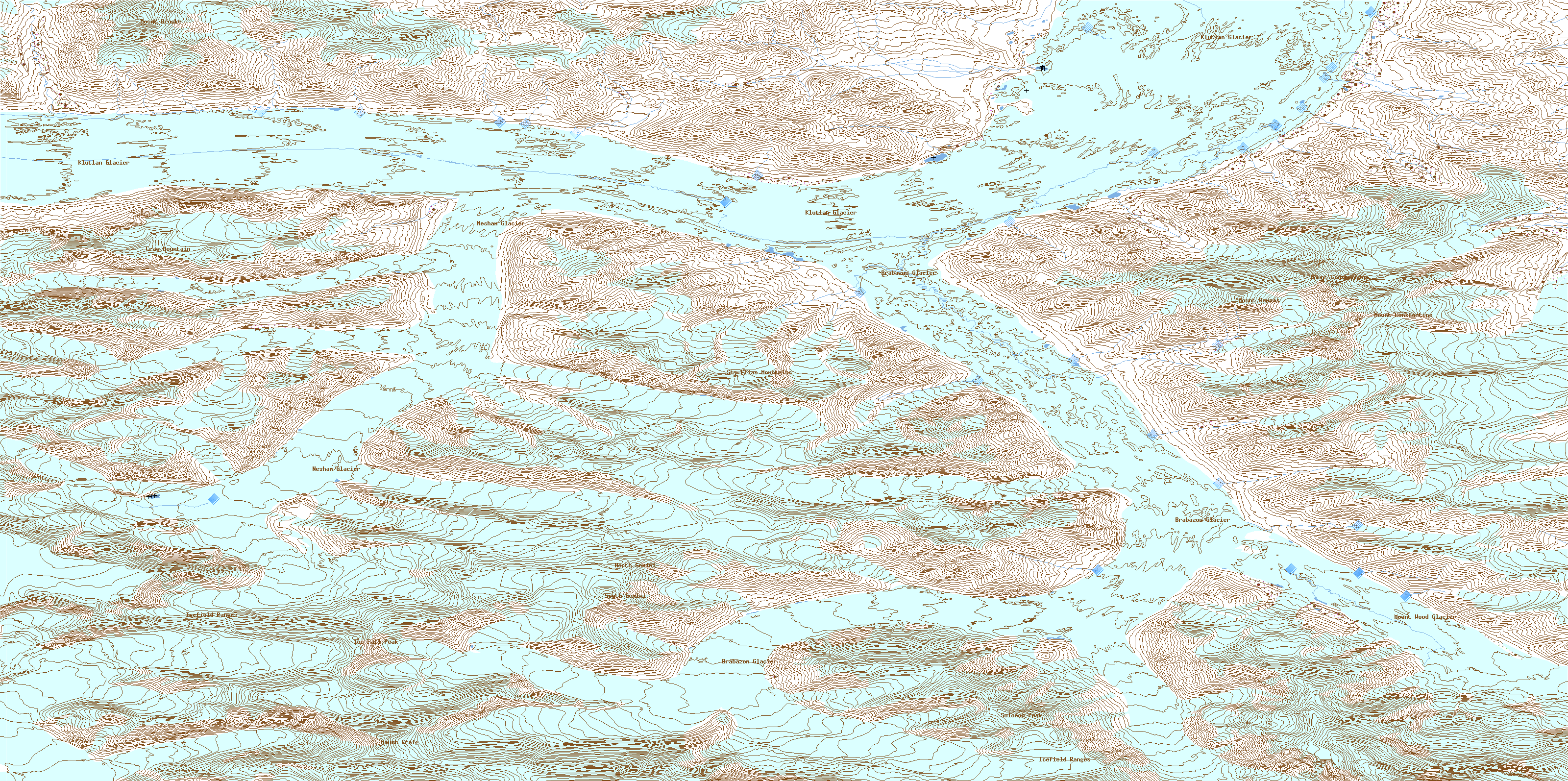
115F07 Mount Constantine high-resolution topo map image.
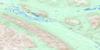
Maps for the Mount Constantine topo map sheet 115F07 at 1:50,000 scale are also available in these versions:
Mount Constantine Surrounding Area Topo Maps
 |
 |
||
 |
 |
||
 |
 |
||
 |
 |
© Department of Natural Resources Canada. All rights reserved.
Mount Constantine Gazetteer
The following places can be found on topographic map sheet 115F07 Mount Constantine:
Mount Constantine Topo Map: Glaciers
Brabazon GlacierKlutlan Glacier
Mount Wood Glacier
Nesham Glacier
Mount Constantine Topo Map: Mountains
Crag MountainIce Fall Peak
Icefield Ranges
Mount Bompas
Mount Brooke
Mount Constantine
Mount Craig
North Gemini
Solomon Peak
South Gemini
St. Elias Mountains
Mount Constantine Topo Map: Conservation areas
Kluane National Park and Reserve of CanadaKluane/Wrangell-St. Elias/Glacier Bay/Tatshenshini-Alsek World Heritage Site
Parc national et réserve de parc national du Canada Kluane
Site du patrimoine mondial Kluane/Wrangell-St. Elias/Glacier Bay/Tatshenshini-Alsek
© Department of Natural Resources Canada. All rights reserved.
