Mason Lake Topo Map Online
Download Free Topo Map Sheet 116J07 at 1:50,000 scale
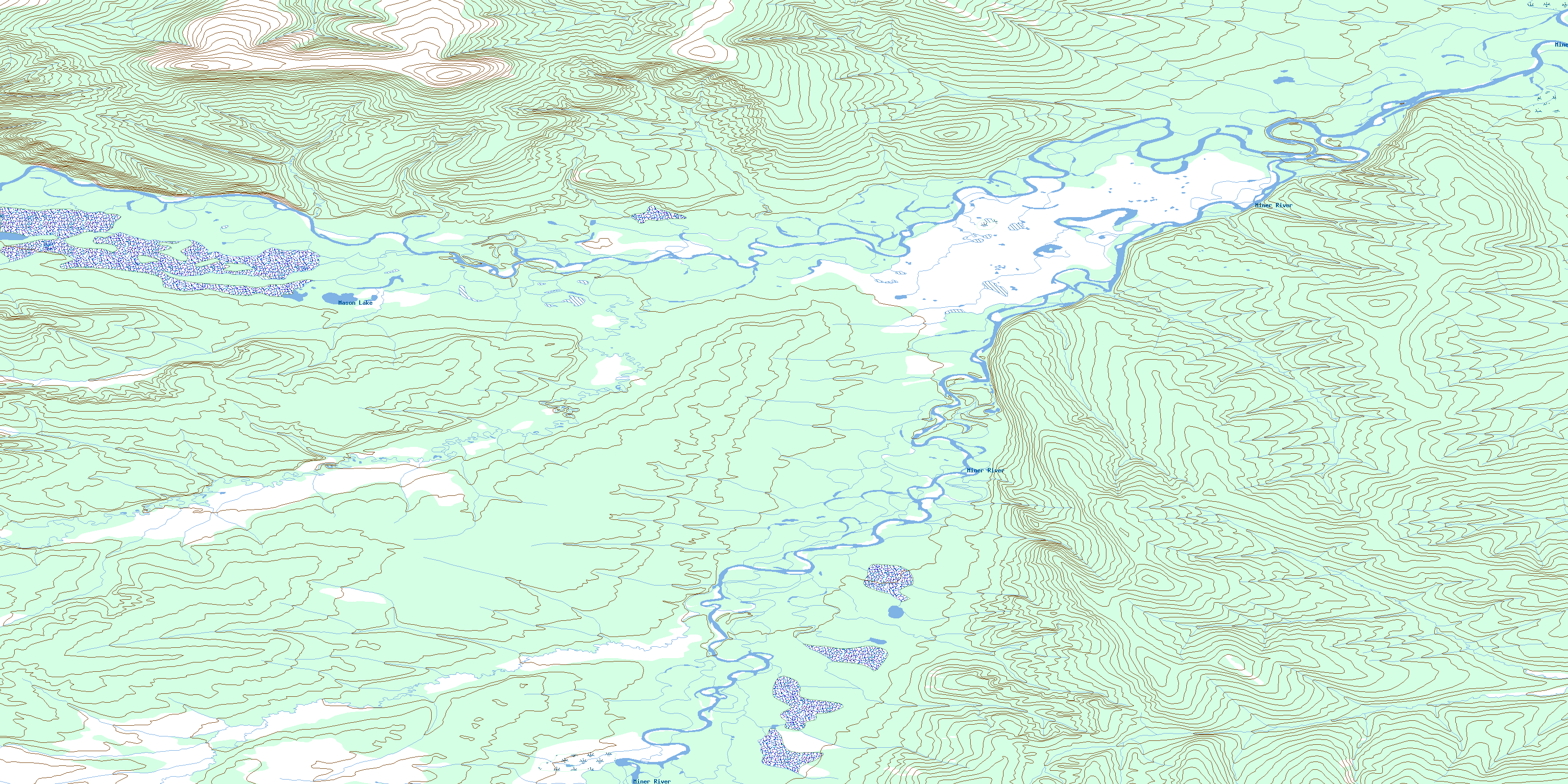
116J07 Mason Lake Topo Map
To view this map, mouse over the map preview on the right.
You can also download this topo map for free:
116J07 Mason Lake high-resolution topo map image.
Maps for the Mason Lake topo map sheet 116J07 at 1:50,000 scale are also available in these versions:
Mason Lake Surrounding Area Topo Maps
 |
 |
 |
 |
 |
 |
 |
 |
 |
 |
 |
 |
 |
 |
 |
 |
© Department of Natural Resources Canada. All rights reserved.
Mason Lake Gazetteer
The following places can be found on topographic map sheet 116J07 Mason Lake:
Mason Lake Topo Map: Lakes
Mason LakeMason Lake Topo Map: Mountains
Terrace RidgeMason Lake Topo Map: Rivers
Fishing BranchMiner River
Porcupine River
© Department of Natural Resources Canada. All rights reserved.
116J Related Maps:
116J Porcupine River116J01 No Title
116J02 Cathedral Rocks
116J03 Mount Dewdney
116J04 Mount Burgess
116J05 No Title
116J06 No Title
116J07 Mason Lake
116J08 Whitestone Village
116J09 Rube Creek
116J10 Cody Hill
116J11 Bear Cave Mountain
116J12 No Title
116J13 No Title
116J14 Heart Mountain
116J15 No Title
116J16 No Title
