Rat Indian Creek Topo Map Online
Download Free Topo Map Sheet 116O09 at 1:50,000 scale
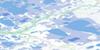
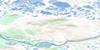
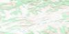
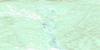
116O09 Rat Indian Creek Topo Map
To view this map, mouse over the map preview on the right.
You can also download this topo map for free:
116O09 Rat Indian Creek high-resolution topo map image.
Maps for the Rat Indian Creek topo map sheet 116O09 at 1:50,000 scale are also available in these versions:
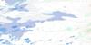
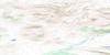
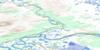
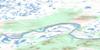
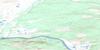
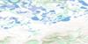
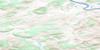
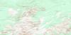
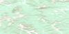
Rat Indian Creek Surrounding Area Topo Maps
 |
 |
 |
 |
 |
 |
 |
 |
 |
 |
 |
 |
 |
 |
 |
 |
© Department of Natural Resources Canada. All rights reserved.
Rat Indian Creek Gazetteer
The following places can be found on topographic map sheet 116O09 Rat Indian Creek:
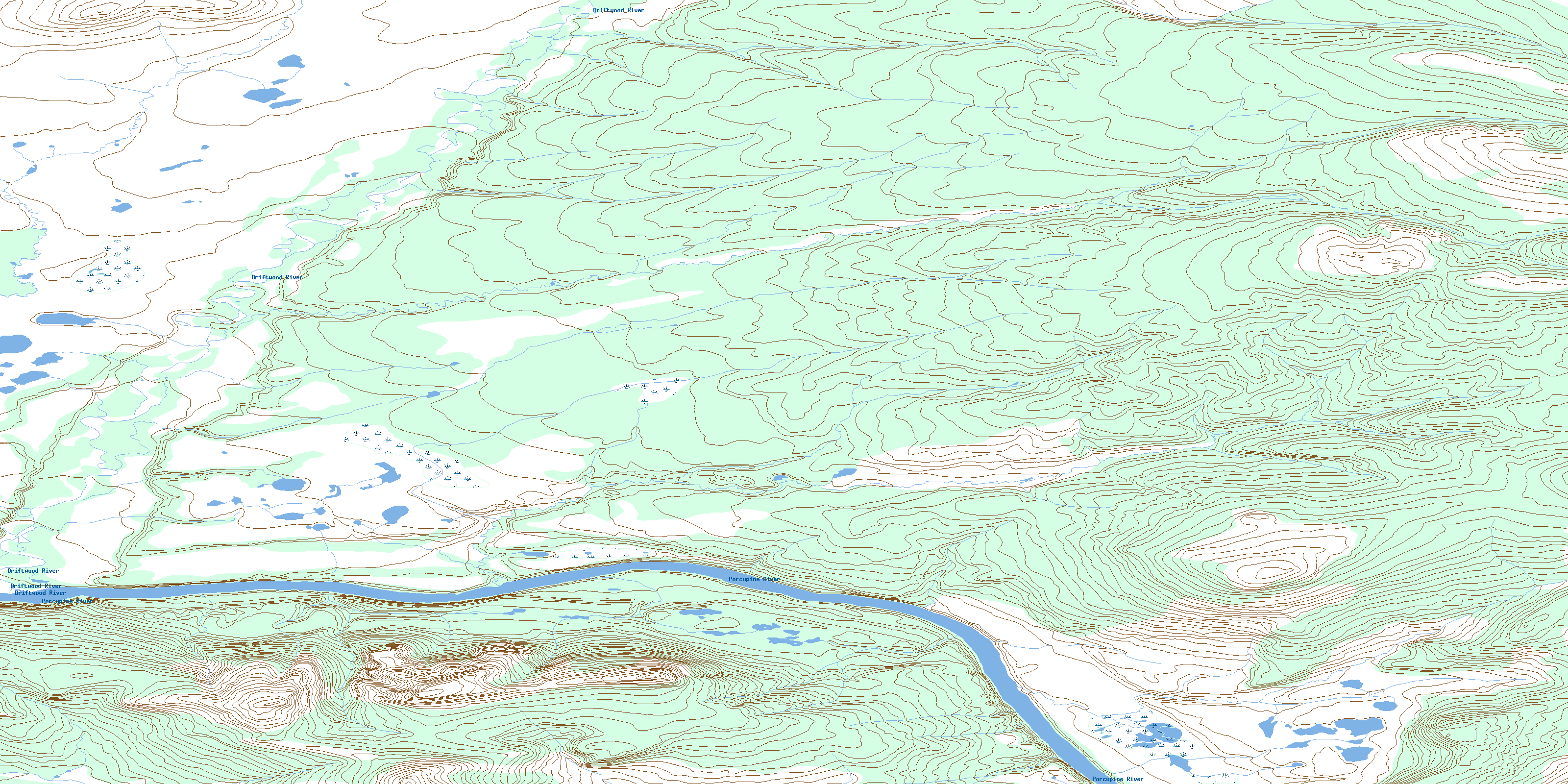
Rat Indian Creek Topo Map: Rivers
Driftwood RiverPorcupine River
Rat Indian Creek
© Department of Natural Resources Canada. All rights reserved.
116O Related Maps:
116O Old Crow116O01 Voreekwa Lakes
116O02 Sharp Mountain
116O03 Veeshridlah Mountain
116O04 Ahvee Mountain
116O05 Lone Mountain
116O06 Lord Creek
116O07 Choho Hill
116O08 Cranberry Hill
116O09 Rat Indian Creek
116O10 Cadzow Lake
116O11 Nothla Hill
116O12 Old Crow
116O13 Mount Schaeffer
116O14 Chungklee Lake
116O15 Chungkuch Lake
116O16 Driftwood Hill
