Maps showing Hyland River, Yukon
Hyland River is a River located in Yukon and has an elevation of 656 meters.
- Latitude: 60° 0' 0'' North (decimal: 60)
- Longitude: 128° 10' 58'' West (decimal: -128.1827778)
- Topography Feature Category: River
- Geographical Feature: River
- Canadian Province/Territory: Yukon
- Elevation: 656 meters
- Atlas of Canada Locator Map: Hyland River
- GPS Coordinate Locator Map: Hyland River Lat/Long
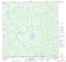
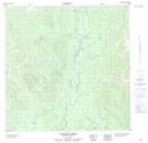
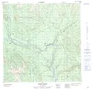
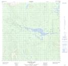
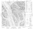
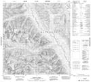
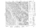
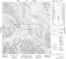
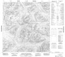
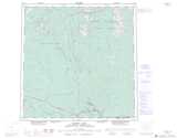
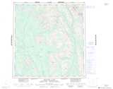
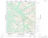
Hyland River NTS Map Sheets
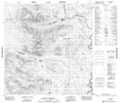
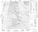
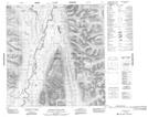
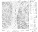
105A01 Blind Lake Topographic Map at 1:50,000 scale
105A08 Sunrise Creek Topographic Map at 1:50,000 scale
105A09 Green River Topographic Map at 1:50,000 scale
105A10 Stewart Lake Topographic Map at 1:50,000 scale
105A15 Mount Murray Topographic Map at 1:50,000 scale
105A16 Taffie Creek Topographic Map at 1:50,000 scale
105H01 Lower Hyland Lake Topographic Map at 1:50,000 scale
105H08 Flood Creek Topographic Map at 1:50,000 scale
105H09 Ostensibility Creek Topographic Map at 1:50,000 scale
105H15 Shannon Creek Topographic Map at 1:50,000 scale
105H16 Tungsten Topographic Map at 1:50,000 scale
105I02 Upper Hyland Lake Topographic Map at 1:50,000 scale
105I03 Little Owls Mountain Topographic Map at 1:50,000 scale
105A Watson Lake Topographic Map at 1:250,000 scale
105H Frances Lake Topographic Map at 1:250,000 scale
105I Little Nahanni River Topographic Map at 1:250,000 scale