Maps showing Whitestone River, Yukon
Whitestone River is a River located in Yukon and has an elevation of 334 meters.
- Latitude: 66° 30' 21'' North (decimal: 66.5058333)
- Longitude: 138° 24' 54'' West (decimal: -138.415)
- Topography Feature Category: River
- Geographical Feature: River
- Canadian Province/Territory: Yukon
- Elevation: 334 meters
- Atlas of Canada Locator Map: Whitestone River
- GPS Coordinate Locator Map: Whitestone River Lat/Long
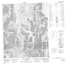
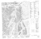
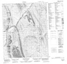
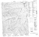
Whitestone River NTS Map Sheets
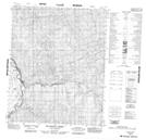
116G11 Mount Brimston Topographic Map at 1:50,000 scale
116G14 Mount Fowlie Topographic Map at 1:50,000 scale
116G15 Mount Huley Topographic Map at 1:50,000 scale
116G16 Mount Harbottle Topographic Map at 1:50,000 scale
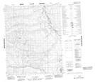
116I04 Mcparlon Creek Topographic Map at 1:50,000 scale
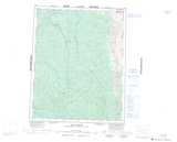
116J01 No Title Topographic Map at 1:50,000 scale
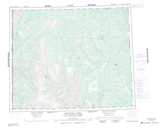
116J02 Cathedral Rocks Topographic Map at 1:50,000 scale
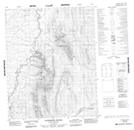
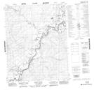
116J08 Whitestone Village Topographic Map at 1:50,000 scale
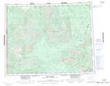
116J09 Rube Creek Topographic Map at 1:50,000 scale
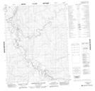
116G Ogilvie River Topographic Map at 1:250,000 scale
116I Eagle River Topographic Map at 1:250,000 scale
116J Porcupine River Topographic Map at 1:250,000 scale