Free Dezadeash Range Topographic Map
Topo maps you can print: 115A Dezadeash Range
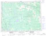
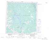
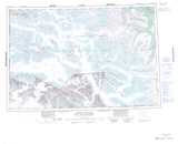
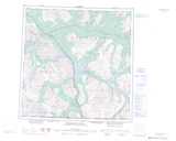
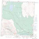
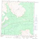
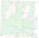
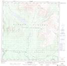
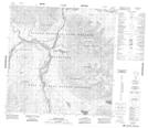
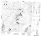
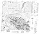
115A Dezadeash Range Topo Map
To view this map, mouse over the map preview on the right.
You can also download and print this topo map for free:
115A Dezadeash Range low-resolution printable topographic map.
A high-resolution map of Dezadeash Range is available on Data-DVD.
Maps for the Dezadeash Range map sheet 115A at 1:250,000 scale are also available in these 4 versions:
Dezadeash Range Surrounding Area Topographic Maps at 1:250,000 scale (NTS 115)
 |
 |
||
 |
 |
||
 |
 |
||
 |
 |
© Department of Natural Resources Canada. All rights reserved.
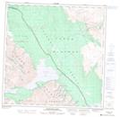
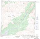
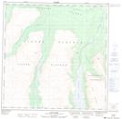
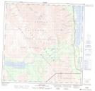
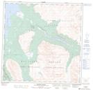
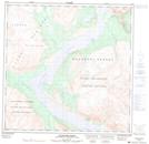
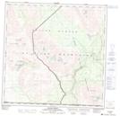
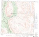
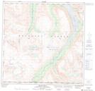
Dezadeash Range Topo Maps at 1:50,000 (NTS 115A)
 |
 |
 |
 |
 |
 |
 |
 |
 |
 |
 |
 |
 |
 |
 |
 |
© Department of Natural Resources Canada. All rights reserved.

© Department of Natural Resources Canada. All rights reserved.
115A Related Maps:
115A Dezadeash Range115A01 Ark Mountain
115A02 Takhanne River
115A03 Silver Creek
115A04 Bates River
115A05 Cottonwood Lakes
115A06 Mush Lake
115A07 Kluhini River
115A08 Sandpiper Creek
115A09 Jo-Jo Lake
115A10 Mount Bratnober
115A11 Kathleen Lakes
115A12 Auriol Range
115A13 Kloo Lake
115A14 Canyon
115A15 Cracker Creek
115A16 Champagne
