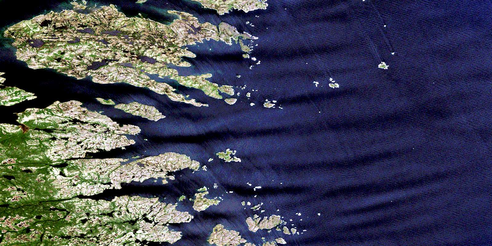
Batteau Satellite Image Map
Download Free Aerial Photo 003E05 at 1:50,000 scale
Batteau Satellite Imagery
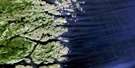
To view this satellite map, mouse over the air photo on the right.
You can also download this satellite image map for free:
003E05 Batteau high-resolution satellite image map.
Maps for the Batteau aerial map sheet 003E05 at 1:50,000 scale are also available in these versions:
Batteau Surrounding Area Aerial Photo Maps
 |
|||
 |
|||
 |
© Department of Natural Resources Canada. All rights reserved.
Batteau Gazetteer
The following places can be found on satellite image map 003E05 Batteau:
Batteau Satellite Image: Bays
Bateau HarbourBatteau Harbour
Black Bear Bay
Corbet Harbour
Domino Harbour
Open Bay
Penny Hook Cove
Porcupine Bay
Porcupine Harbour
Punchbowl
Rocky Bay
Salmon Bight
Sandy Bay
Shoal Bay
Spotted Island Harbour
Webber Harbour
Wild Bight
Withecombe Cove
Batteau Satellite Image: Capes
American PointBed Head
Chair Head
Domino Point
Gunning Point
Herring Point
Little Black Head
Man of War Point
Mistaken Point
Mustering Point
Red Point
Red Point
Rocky Point
Shoal Point
South Black Head
Southeast Point
Tatters Point
Turner Head
Whaling Point
Withecombe Point
Batteau Satellite Image: Channels
Black TickleFrenchmans Run
Batteau Satellite Image: Islands
Big Pig IslandBombproof Island
Bradbury Island
Bryan Island
Carrol Island
Castle Dermot
Cod Bag Islets
Corbet Island
Deepwater Island
Dog Island
Entry Island
Fish Island
Flat Island
Goss Island
Green Island
Green Island
Green Island
Gurney Island
Hat Island
Island of Ponds
Keefe Island
Mark Islands
Murr Island
North Three Islands
Paine Island
Porcupine Island
Queer Island
Red Island
Rogers Island
Roundhill Island
Saddle Islands
Salter Island
Sandy Islands
Shoal Bay Island
Spotted Island
Walker Island
Batteau Satellite Image: Rapids
Domino RunBatteau Satellite Image: Rivers
Black Bear RiverBatteau Satellite Image: Shoals
American RockBlack Rock
Black Rocks
Caleb Shoal
Cosgrave Rocks
East Bank
Eastern Rock
Gushue Rock
Herring Bank
High Hat Rock
High Rat Rock
Middle Ground
North Black Rock
Northeast Rock
O'Neale Rock
Saddle Banks
Shag Rocks
South Black Rock
The Chair
The Flats
Timber Rocks
Toole Rock
White Rock
Batteau Satellite Image: Unincorporated areas
BatteauBlack Tickle
Black Tickle-Domino
Domino
Red Point
Salmon Bight
Spotted Island
© Department of Natural Resources Canada. All rights reserved.
