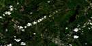
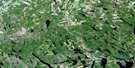
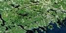
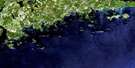
West Chezzetcook Satellite Image Map
Download Free Aerial Photo 011D11 at 1:50,000 scale
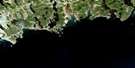
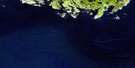
West Chezzetcook Satellite Imagery
To view this satellite map, mouse over the air photo on the right.
You can also download this satellite image map for free:
011D11 West Chezzetcook high-resolution satellite image map.
Maps for the West Chezzetcook aerial map sheet 011D11 at 1:50,000 scale are also available in these versions:
West Chezzetcook Surrounding Area Aerial Photo Maps
 |
 |
 |
 |
 |
 |
 |
|
 |
|||
© Department of Natural Resources Canada. All rights reserved.
West Chezzetcook Gazetteer
The following places can be found on satellite image map 011D11 West Chezzetcook:
West Chezzetcook Satellite Image: Bays
Arnold CoveBarren Cove
Birch Cove
Blakney Cove
Butnigum Cove
Cains Cove
Chezzetcook Harbour
Chezzetcook Inlet
Cole Harbour
Cow Bay
Deep Cove
Francis Cove
Franklins Gully
Halifax Harbour
Harpell Cove
Jeddore Harbour
Jocks Cove
Keizers Cove
Long Cove
Musquodoboit Harbour
Narrows Basin
Petpeswick Harbour
Petpeswick Inlet
Porters Cove
Smelt Cove
Smelt Cove
Three Fathom Harbour
Vaughans Cove
West Chezzetcook Satellite Image: Beaches
Conrods BeachCow Bay Beach
Fishermans Beach
Grand Desert Beach
Kents Beach
Lawrencetown Beach
Long Beach
Lower East Chezzetcook Beach
Martinique Beach
Masseys Beach
Steering Beach
West Chezzetcook Satellite Image: Capes
Bakers PointBar Point
Bayers Point
Black Point
Brickfield Point
Brickyard Point
Cape Antrim
Cape Entry
Casey Point
Collies Head
Conrods Head
Coopers Head
Cow Point
Dares Point
East Head
Flying Point
Fox Point
Francis Nose
French Point
Gaetz Head
Goose Head
Goose Point
Graham Head
Gros Point
Half Island Point
Halfisland Point
Hartlen Point
Hopkins Point
Indian Point
Jeddore Cape
Jeddore Head
Lawrencetown Head
Marsh Point
Meisner Head
Middle Point
Miseners Head
Nauffts Point
Osborne Head
Oyster Point
Pea Point
Pensey Head
Petpeswick Head
Philip Head
Porter Point
Porters Point
Rudey Head
Rudeys Head
Rum Point
Sandy Point
Sellars Head
Shagrock Point
Splitrock Point
Story Head
West Head
Whale Point
Whalens Point
Young Point
West Chezzetcook Satellite Image: Channels
Drakes GutEastern Passage
Rocky Run
The Gap
The Narrows
Widgeon Gut
West Chezzetcook Satellite Image: Cliffs
Jeddore CliffWest Chezzetcook Satellite Image: Geographical areas
HalifaxWest Chezzetcook Satellite Image: Indian Reserves
Cole Harbour 30West Chezzetcook Satellite Image: Islands
Ball IslandBayers Islands
Betty Island
Big Island
Brennans Island
Cheticanchec Island
Cheticumchec Island
Conrod Island
Crab Island
Cross Island
Devil Island
Devils Island
Eel Bed Islands
Egg Island
Faulkners Island
Ferguson Island
Fox Island
Francis Nose Island
Gaetz Island
Gunner Island
Huckleberry Island
Indian Island
Indian Island
Kent Island
Labrecque Island
Lawlor Island
Leader Island
Leslie Island
Little Island
MacLellans Island
McNab Island
McNabs Island
Mikes Islands
Miseners Island
Moose Island
Moses Island
Narrows Islands
Red Island
Roasts Hay Island
Roma Island
Shut-in Island
Steamboat Island
Wedge Island
Young Island
West Chezzetcook Satellite Image: Lakes
Big LakeBissett Lake
Blue Lake
Blues Lake
Bottle Lake
Broom Lake
Caribou Lake
Carter Lake
Catcha Lake
Conrod Lake
Cow Bay Lake
Cow Bay Pond
Cranberry Lake
Dark Pond
De Said Lake
Deep Pond
Duck Lake
Duck Lake
Duck Lake
Duck Lake
Duck Pond
Duck Pond
Eagle Lake
Echo Lake
Figure Eight Lake
Forked Pond
Frog Lake
Frost Lake
Frostfish Brook Lake
Gaetz Lake
Gammon Lake
George Pond
Goose Lake
Goose Lake
Goose Lake
Goose Lake
Grand Lake
Grassy Lake
Grassy Lake
Griswold Lake
Harpell Pond
Lake Eagle
Lake Echo
Lake Major
Lawrencetown Lake
Leader Lake
Lewis Lake
Little Duck Lake
Little Duck Lake
Little Gammon Lake
Little Lake
Little Lake
Little Lake
Little Lake
Little Lake
Long Lake
Long Lake
Long Pond
Loon Lake
Martin Lake
McCoys Pond
Meisner Lake
Mill Lake
Miseners Lake
Morash Lake
Morris Lake
Mountain Lake
Myers Little Lake
Narrows Lake
Ned Lake
Nelson Lake
North East Pond
Oyster Point Lake
Oyster Pond
Oyster Pond
Paddys Duck Pond
Petit Lac
Petpeswick Lake
Porter Lake
Porters Lake
Potts Pond
Roast Lake
Robinson Lake
Rocky Lake
Round Lake
Round Lake
Salmon Hole
Snow Lake
Sparks Pond
Teal Pond
Trimbel Lake
William Lake
Williams Lake
Winder Lake
Young Lake
West Chezzetcook Satellite Image: Military areas
Champ de tir aérien ChezzetcookChamp de tir Osborne Head
Chezzetcook Air Weapons Range
Osborne Head Range
West Chezzetcook Satellite Image: Mountains
Big Gun MountainFlandrum Hill
Smelt Hill
West Chezzetcook Satellite Image: Major municipal/district area - major agglomerations
HalifaxWest Chezzetcook Satellite Image: Conservation areas
Cole Harbour Lawrencetown Coastal Heritage Park SystemConrod Island Park Reserve
Lawrencetown Beach Provincial Park
Martinique Beach Game Sanctuary
Martinique Beach Provincial Park
McNabs and Lawlor Islands Provicial Park
McNabs and Lawlor Islands Provincial Park
Porters Lake Provincial Park
Porter's Lake Provincial Park
Rainbow Haven Beach Provincial Park
West Chezzetcook Satellite Image: Rivers
Birch BrookCherry Brook
Chezzetcook River
Flat Barren Brook
Frost Brook
Frostfish Brook
Little River
Little Salmon River
Mare Brook
Partridge River
Porcupine Brook
Robinson Brook
Rodgers Brook
Salmon River
Smelt Brook
Smelt Brook
Stingle Brook
West Chezzetcook Satellite Image: River features
Echo PoolWest Chezzetcook Satellite Image: Shoals
Arnold RockArnold Shoal
Bar Shoal
Barrie Beach
Bull Reef
Bull Rock
Cape Shoal
Clam Shoal
Codray Shoal
Conrad Shoal
Conrods Ledge
Conrods Reef
Coote Shoal
Corner of Fountain
Darby Bank
Dick Shoal
Dook Rock
Dunbrack Rock
Dunn Reef
Eagle Rocks
Eighteen Fathom Shoal
Fergusons Shoal
Flat Rock
Fountain Shoal
Gardner Rock
Goat Rock
Harbour Islet Shoal
Harbour Ledge
Hawkin Reef
Head Rock Shoal
Inside Sisters
Jeddore Rock
John Miseners Lump
Keizer Shoal
Knox Rocks
Lady Laurier Rock
Little Darby
Little Shoal
Lumpfish Bank
Musquodoboit Ledge
Musquodoboit Shoal
Net Lump
New Shoal
Northwest Reef
Number Shoal
Outside Sisters
Pat Shoal
Pats Rock
Pender Shoal
Petpeswick Shoal
Pollock Lump
Portuguese Shoal
Rat Rock
Rock Head Shoal
Rock Reef
Rock Shoal
Round Shoals
Shag Rock
Shagrock Shoal
Shut-in Shoals
Southeast Prong
Southwest Prong
Sow Rock
Sunken Rock
The Cap
The Lump
Thorn Shoal
Thrumcap Shoal
Timmons Shoal
Western Lump of Little Darby
Western Reef
Western Shoal
Yankee Bank
West Chezzetcook Satellite Image: Unincorporated areas
Bayer SettlementCherry Brook
Colby Village
Cole Harbour
Cow Bay
Desert
Devils Island
East Chezzetcook
East Jeddore
East Lawrencetown
East Petpeswick
East Preston
Eastern Passage
Echo Lake
Forest Hills
Grand Desert
Head of Chezzetcook
Highland Acres
Humber Park
Lake Echo
Lake Major
Lawrencetown
Lloy
Lower East Chezzetcook
Lower Three Fathom Harbour
Lower West Jeddore
Middle Porter Lake
Middle Porters Lake
Minesville
Mineville
Naugle
New Road
North Preston
Ostrea Lake
Petain
Petpeswick Harbour
Pleasant Point
Porter
Porters Lake
Preston
Preston Road
Rainbow Haven
Seaforth
South East Passage
Stag Inn
Sunset Acres
Terminal Beach
Three Fathom Harbour
Upper Lawrencetown
West Chezzetcook
West Jeddore
West Lawrencetown
West Petpeswick
West Porters Lake
Willowdale
West Chezzetcook Satellite Image: Low vegetation
West Marsh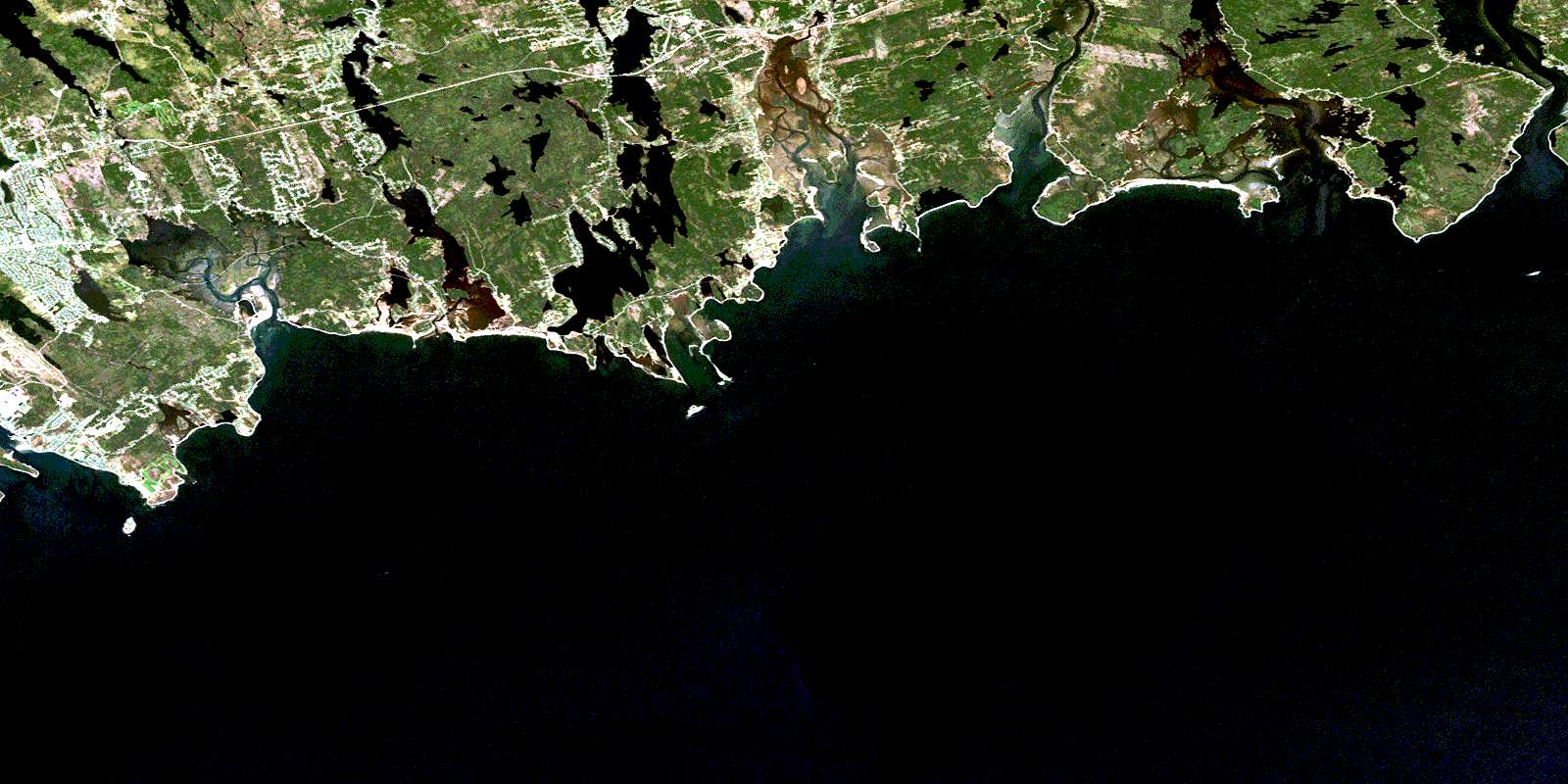
© Department of Natural Resources Canada. All rights reserved.
