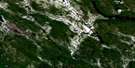
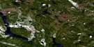
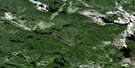
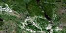
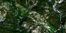
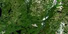
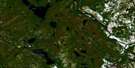
Lac Montcevelles Satellite Image Map
Download Free Aerial Photo 012N02 at 1:50,000 scale
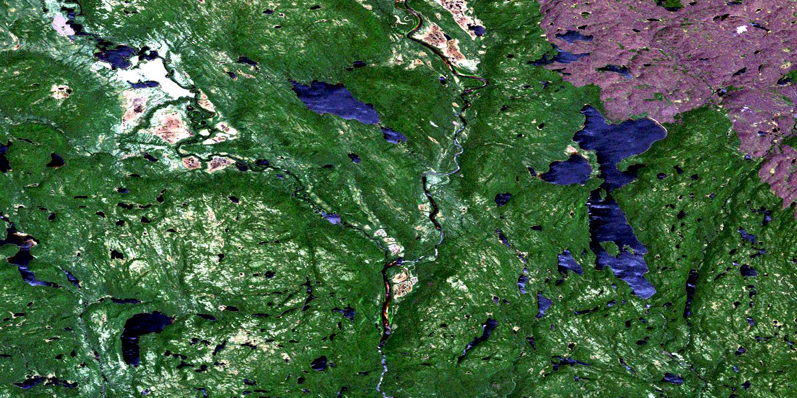
Lac Montcevelles Satellite Imagery
To view this satellite map, mouse over the air photo on the right.
You can also download this satellite image map for free:
012N02 Lac Montcevelles high-resolution satellite image map.
Maps for the Lac Montcevelles aerial map sheet 012N02 at 1:50,000 scale are also available in these versions:
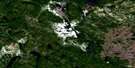
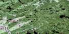
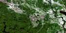
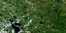
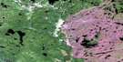
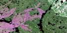
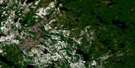
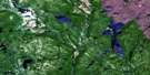
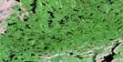
Lac Montcevelles Surrounding Area Aerial Photo Maps
 |
 |
 |
 |
 |
 |
 |
 |
 |
 |
 |
 |
 |
 |
 |
 |
© Department of Natural Resources Canada. All rights reserved.
Lac Montcevelles Gazetteer
The following places can be found on satellite image map 012N02 Lac Montcevelles:
Lac Montcevelles Satellite Image: Lakes
Lac BrûléLac Kapahtauhinant
Lac Kauipuhkat
Lac Kekanuhkan
Lac Montcevelles
Lac Muehatnau
Lac Nyel
Lac Tshetshinukuteu
Lac Montcevelles Satellite Image: Rivers
Rivière GrossinRivière Kauipuhkau
Rivière Olomane
Rivière Olomane Ouest
Ruisseau Kauipuhkakamau
Ruisseau Kekanuhkan
Ruisseau Penipatauakat
© Department of Natural Resources Canada. All rights reserved.
012N Related Maps:
012N Riviere Natashquan012N01 Lac Du Gas
012N02 Lac Montcevelles
012N03 Lac Bohier
012N04 Lac Cormier
012N05 Lac Briend
012N06 Lac Le Dore
012N07 Lac Lorens
012N08 Lac Briconnet
012N09 Riviere Mongeaux
012N10 Lac Le Tort
012N11 Lac Du Nort
012N12 Lac Kerdelhue
012N13 Lac Le Marquand
012N14 Lac Bastille
012N15 Lac Golet
012N16 Lac Le Breton
