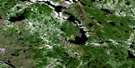
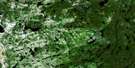
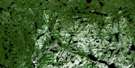
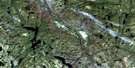
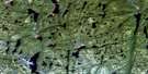
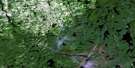
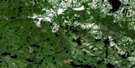
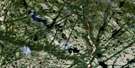
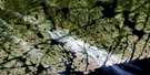
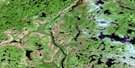
Lac Mery Satellite Image Map
Download Free Aerial Photo 012O15 at 1:50,000 scale
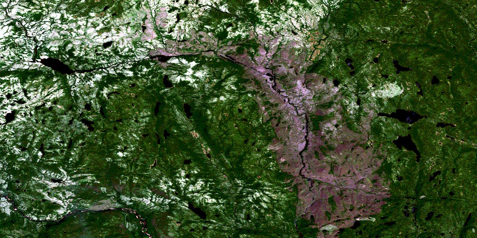
Lac Mery Satellite Imagery
To view this satellite map, mouse over the air photo on the right.
You can also download this satellite image map for free:
012O15 Lac Mery high-resolution satellite image map.
Maps for the Lac Mery aerial map sheet 012O15 at 1:50,000 scale are also available in these versions:
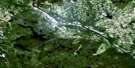
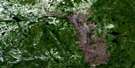
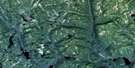
Lac Mery Surrounding Area Aerial Photo Maps
 |
 |
 |
 |
 |
 |
 |
 |
 |
 |
 |
 |
 |
 |
 |
 |
© Department of Natural Resources Canada. All rights reserved.
Lac Mery Gazetteer
The following places can be found on satellite image map 012O15 Lac Mery:
Lac Mery Satellite Image: Lakes
Lac GamartLac Hatshimiskumis
Lac Kaiskuatahkutihk
Lac Kamahkuhiuakamat
Lac Méry
Lac Ntshuku Kutukuaniutshuahp
Lac Uhakameh
Lac Umuetshiumiskumi
Lac Mery Satellite Image: Rivers
Rivière à la MoucheRivière Saint-Augustin
Rivière Umuetshiumiskumi
Ruisseau Kamahkuhiu
Ruisseau Kauahtshauahk
Lac Mery Satellite Image: Road features
Portage PastapistnakanPortage Utshask Amitshuatan
Lac Mery Satellite Image: Unincorporated areas
Kuekuatsheu KutukuaniutshuahpMatshukueu Hikuanupunan
© Department of Natural Resources Canada. All rights reserved.
012O Related Maps:
012O Saint-Augustin012O01 Ile Bayfield
012O02 St-Augustin-Saguenay
012O03 Lac Robertson
012O04 Lac Bernadette
012O05 Lac Verton
012O06 Lac Ferru
012O07 Lac Noyrot
012O08 Shekatika
012O09 Lac Tooker
012O10 Lac L'Ile Au Castor
012O11 Riviere A Saumon
012O12 Lac De Vitre
012O13 Lac Chenil
012O14 Lac Aticonipi
012O15 Lac Mery
012O16 Lac Gallet
