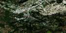
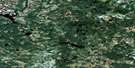
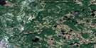
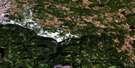
Jeffries Pond Satellite Image Map
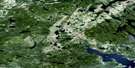
Download Free Aerial Photo 013A15 at 1:50,000 scale
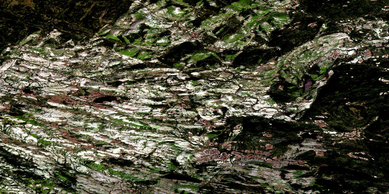
Jeffries Pond Satellite Imagery
To view this satellite map, mouse over the air photo on the right.
You can also download this satellite image map for free:
013A15 Jeffries Pond high-resolution satellite image map.
Maps for the Jeffries Pond aerial map sheet 013A15 at 1:50,000 scale are also available in these versions:
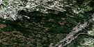
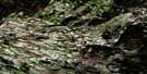
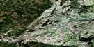
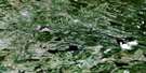
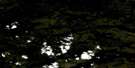
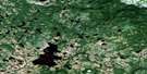
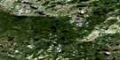
Jeffries Pond Surrounding Area Aerial Photo Maps
 |
 |
 |
 |
 |
 |
 |
 |
 |
 |
 |
 |
 |
 |
 |
 |
© Department of Natural Resources Canada. All rights reserved.
Jeffries Pond Gazetteer
The following places can be found on satellite image map 013A15 Jeffries Pond:
Jeffries Pond Satellite Image: Lakes
Alexs Beaver PondDavises North Pond
Davises South Pond
Jeffries Pond
Jeffries Pond Satellite Image: Mountains
Blue HillsJeffries Pond Satellite Image: Rivers
Beaver BrookGilbert River
Hawke River
Main Brook
Mountain Brook
Southwest Feeder
Jeffries Pond Satellite Image: Low vegetation
Davises MarshesJeffries Marshes
© Department of Natural Resources Canada. All rights reserved.
013A Related Maps:
013A Battle Harbour013A01 Chateau Pond
013A02 No Title
013A03 No Title
013A04 No Title
013A05 No Title
013A06 No Title
013A07 No Title
013A08 St Lewis Inlet
013A09 Port Hope Simpson
013A10 No Title
013A11 No Title
013A12 No Title
013A13 No Title
013A14 No Title
013A15 Jeffries Pond
013A16 White Bear Arm
