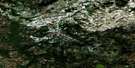
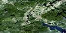
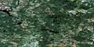
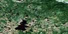
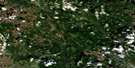
Port Hope Simpson Satellite Image Map
Download Free Aerial Photo 013A09 at 1:50,000 scale
Port Hope Simpson Satellite Imagery
To view this satellite map, mouse over the air photo on the right.
You can also download this satellite image map for free:
013A09 Port Hope Simpson high-resolution satellite image map.
Maps for the Port Hope Simpson aerial map sheet 013A09 at 1:50,000 scale are also available in these versions:
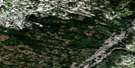
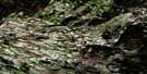
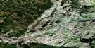
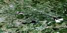
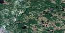
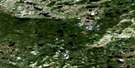
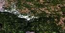
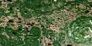
Port Hope Simpson Surrounding Area Aerial Photo Maps
 |
 |
 |
 |
 |
 |
 |
 |
 |
 |
 |
 |
 |
 |
 |
 |
© Department of Natural Resources Canada. All rights reserved.
Port Hope Simpson Gazetteer
The following places can be found on satellite image map 013A09 Port Hope Simpson:
Port Hope Simpson Satellite Image: Bays
Alexis BayGilbert Bay
Mill Cove
Mosquito
Sadlers Arm
St. Michaels Bay
Port Hope Simpson Satellite Image: Capes
Newmans HeadOld Soldier
Port Hope Simpson Satellite Image: Channels
Bassmans TickleDark Tickle
Light Tickle
Mungo Run
Northern Ships Run
Port Hope Simpson Satellite Image: Islands
Big Coopers IslandGrove Island
Juniper Island
Juniper Island
Lazyman Island
Little Coopers Island
Nevile Island
Port Hope Simpson Satellite Image: Lakes
Blackwater PondBlow Me Down Pond
Broom Pond
Camp 17 Pond
Camp 5 Pond
Camp 6 Pond
Cannings Pond
Charles Pond
Charles Pond Steady
Dam Pond
Danes Pond
Feeder Pond
Four Ponds
Gilbert Lake
Johnnys Pond
Long Pond
Notleys Pond
Shinneys Big Pond
Shinneys Long Pond
Trout Pond
Western Pond
White Hill Pond
Witch Pond
Wolf Rub Pond
Port Hope Simpson Satellite Image: Mountains
Blow Me Down HillJoe Clarks Hill
Port Hope Simpson Satellite Image: Rivers
Alexis RiverBlackwater Brook
Bobbys Brook
Gilbert River
Long Pond Brook
Notleys Brook
Reeves Brook
Shinneys Waters
Port Hope Simpson Satellite Image: Shoals
Seal RocksPort Hope Simpson Satellite Image: Towns
CharlottetownPort Hope Simpson
Port Hope Simpson Satellite Image: Low vegetation
Shinneys Marsh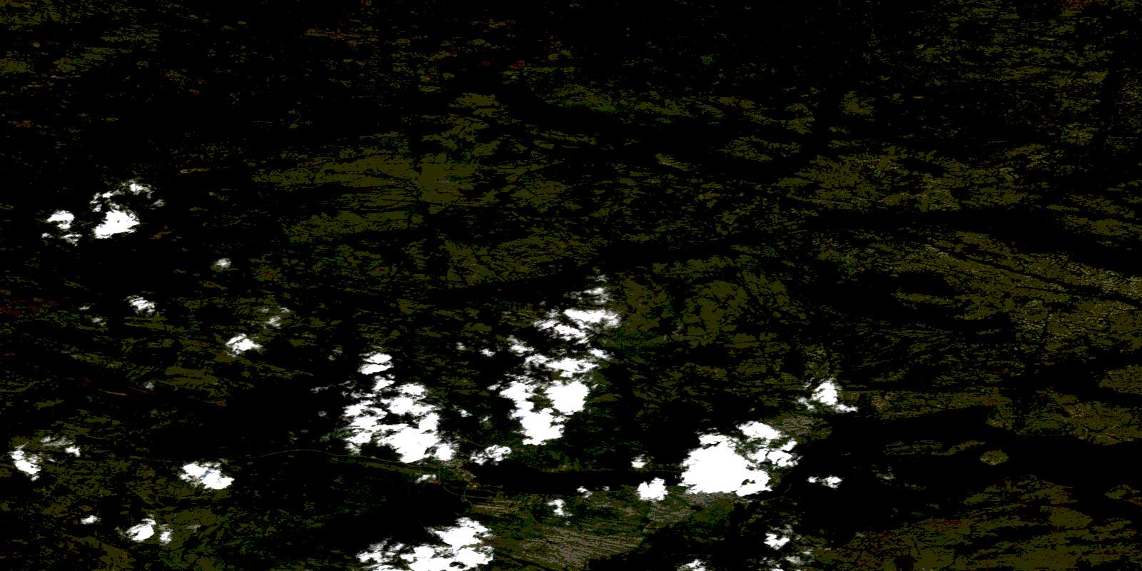
© Department of Natural Resources Canada. All rights reserved.
013A Related Maps:
013A Battle Harbour013A01 Chateau Pond
013A02 No Title
013A03 No Title
013A04 No Title
013A05 No Title
013A06 No Title
013A07 No Title
013A08 St Lewis Inlet
013A09 Port Hope Simpson
013A10 No Title
013A11 No Title
013A12 No Title
013A13 No Title
013A14 No Title
013A15 Jeffries Pond
013A16 White Bear Arm
