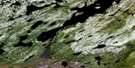
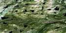
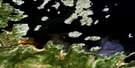
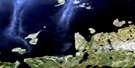
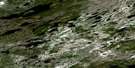
Ticoralak Island Satellite Image Map
Download Free Aerial Photo 013J08 at 1:50,000 scale
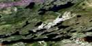
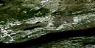
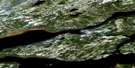
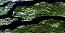
Ticoralak Island Satellite Imagery
To view this satellite map, mouse over the air photo on the right.
You can also download this satellite image map for free:
013J08 Ticoralak Island high-resolution satellite image map.
Maps for the Ticoralak Island aerial map sheet 013J08 at 1:50,000 scale are also available in these versions:
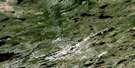
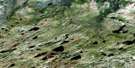
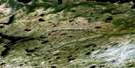
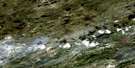
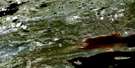
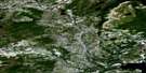
Ticoralak Island Surrounding Area Aerial Photo Maps
 |
 |
 |
 |
 |
 |
 |
 |
 |
 |
 |
 |
 |
 |
 |
 |
© Department of Natural Resources Canada. All rights reserved.
Ticoralak Island Gazetteer
The following places can be found on satellite image map 013J08 Ticoralak Island:
Ticoralak Island Satellite Image: Bays
Fox CoveJohns Cove
Ticoralak Bight
Ticoralak Island Satellite Image: Capes
Big Gunnings PointFox Cove Long Point
Goose Brook Point
Green Point
Little Gunning Point
Long Point
Richards Point
Snooks Point
Ticoralak Head
Ticoralak Island Satellite Image: Channels
The ChannelTicoralak Island Satellite Image: Islands
Big IslandEast Sister Island
Pompey Island
Ticoralak Island
West Pompey Island
West Sister Island
Ticoralak Island Satellite Image: Lakes
Tom Luscombes PondTicoralak Island Satellite Image: Mountains
Bill Broomfields BankGeorge Flowers Bank
White Bank
Ticoralak Island Satellite Image: Rivers
Corner BrookDouble Brook
Fox Cove Brook
Goose Brook
Green Point Brook
Tom Luscombe Brook
Ticoralak Island Satellite Image: Shoals
Snooks RocksTicoralak Island Satellite Image: Low vegetation
Sandy Barrens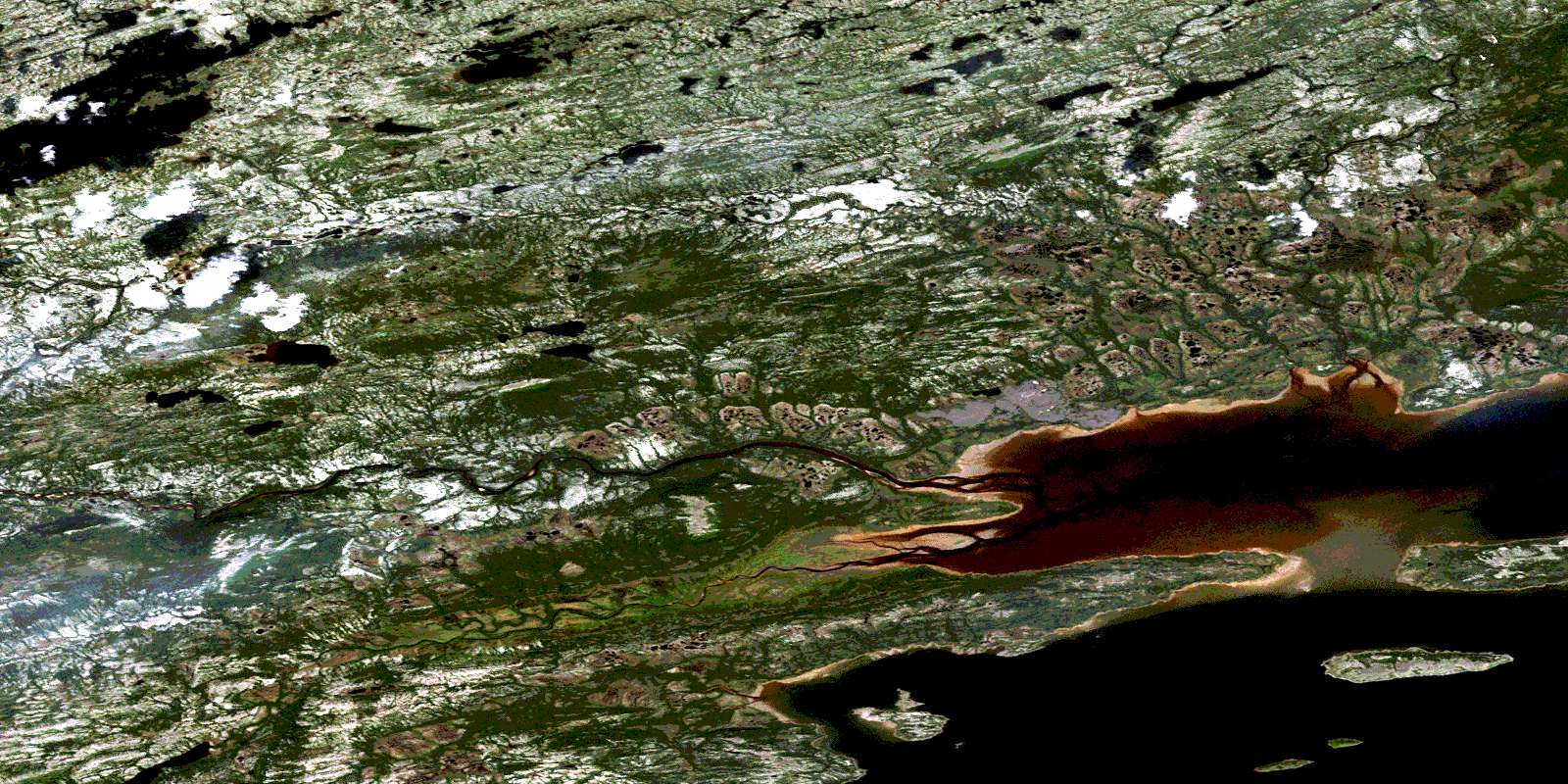
© Department of Natural Resources Canada. All rights reserved.
013J Related Maps:
013J Rigolet013J01E Rigolet
013J01W Rigolet
013J02E Burnt Head
013J02W Burnt Head
013J03E Double Mer
013J03W Double Mer
013J04 No Title
013J05 No Title
013J06 No Title
013J07 No Title
013J08E Ticoralak Island
013J08W Ticoralak Island
013J09E Lake Michael
013J09W Lake Michael
013J10E Mount Benedict
013J10W Mount Benedict
013J11E Micmac River
013J11W Micmac River
013J12E No Title
013J12W No Title
013J13E Post Hill
013J13W Post Hill
013J14E Monkey Hill
013J14W Monkey Hill
013J15E Stag Bay
013J15W Stag Bay
013J16E Webeck Harbour
013J16W Webeck Harbour
