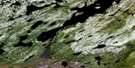
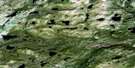
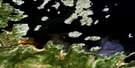
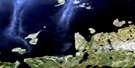
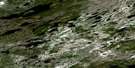
Burnt Head Satellite Image Map
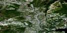
Download Free Aerial Photo 013J02 at 1:50,000 scale
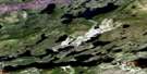
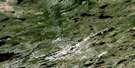
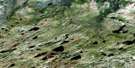
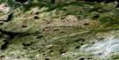
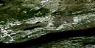
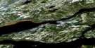
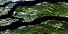
Burnt Head Satellite Imagery
To view this satellite map, mouse over the air photo on the right.
You can also download this satellite image map for free:
013J02 Burnt Head high-resolution satellite image map.
Maps for the Burnt Head aerial map sheet 013J02 at 1:50,000 scale are also available in these versions:
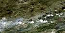
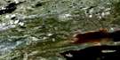
Burnt Head Surrounding Area Aerial Photo Maps
 |
 |
 |
 |
 |
 |
 |
 |
 |
 |
 |
 |
 |
 |
 |
 |
© Department of Natural Resources Canada. All rights reserved.
Burnt Head Gazetteer
The following places can be found on satellite image map 013J02 Burnt Head:
Burnt Head Satellite Image: Bays
Big Pot CoveBig Pot Cove
Caravalla Cove
Connocks Cove
Coopers Cove
Double Mer
Elsies Harbour
Groves Harbour
Hamilton Inlet
Little Pot Cove
Little Pot Cove
Lower Station
Middle House Cove
Middlehouse Cove
Moliak Cove
Molioch Cove
Old House Cove
Ships Harbour
Snooks Cove
Valley Bay
Burnt Head Satellite Image: Capes
Alexander PointAnns Point
Bellas Points
Blunt Point
Brooks Rocks
Burnt Head
Campbells Point
Campbetter Point
Caravalla Point
Connocks Point
Cutlers Head
George Deers Nap
Green Point
Halfway Point
Juniper Point
Juniper Point
Juniper Point
Long Point
Masons Point
Middle House Point
Moliak Point
Molioch
Sandy Point
Stag Head
Stag Head
Stag Head Point
Whittles Point
Burnt Head Satellite Image: Channels
Cul de SacCul-de-Sac
The Narrows
The Narrows
Burnt Head Satellite Image: Islands
Carrington IslandEskimo Island
Henrietta Island
Long Point Island
Peter Lewis Island
Shag Island
Stag Island
Burnt Head Satellite Image: Lakes
Dennys PondLake Melville
Molioch Pond
Saltwater Pond
Burnt Head Satellite Image: Mountains
Big HillMountain Calvary
Pompeys Head
The Scow
White Hill
Burnt Head Satellite Image: Rivers
Bells BrookBig Brook
Dinner Brook
Goose Brook
Grants Brook
Little Brook
Snooks Brook
Whittles Point Brook
Burnt Head Satellite Image: Shoals
Blue Seal ShoalBurnt Head Satellite Image: Unincorporated areas
Middle HouseBurnt Head Satellite Image: Valleys
The ArmBurnt Head Satellite Image: Low vegetation
Double Mer Barrens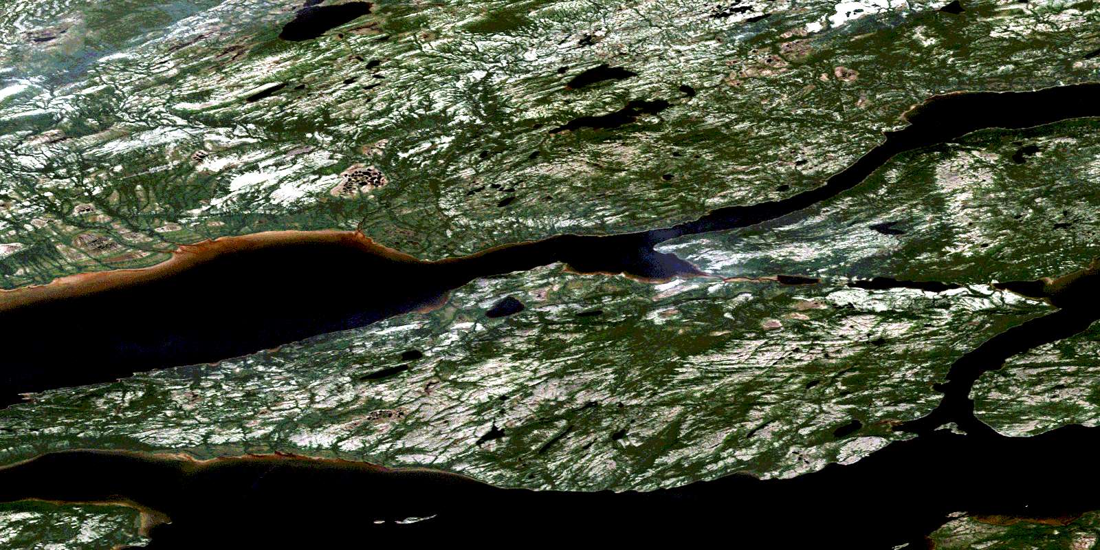
© Department of Natural Resources Canada. All rights reserved.
013J Related Maps:
013J Rigolet013J01E Rigolet
013J01W Rigolet
013J02E Burnt Head
013J02W Burnt Head
013J03E Double Mer
013J03W Double Mer
013J04 No Title
013J05 No Title
013J06 No Title
013J07 No Title
013J08E Ticoralak Island
013J08W Ticoralak Island
013J09E Lake Michael
013J09W Lake Michael
013J10E Mount Benedict
013J10W Mount Benedict
013J11E Micmac River
013J11W Micmac River
013J12E No Title
013J12W No Title
013J13E Post Hill
013J13W Post Hill
013J14E Monkey Hill
013J14W Monkey Hill
013J15E Stag Bay
013J15W Stag Bay
013J16E Webeck Harbour
013J16W Webeck Harbour
