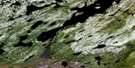
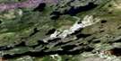
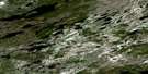
Rigolet Satellite Image Map
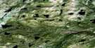
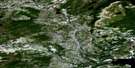
Download Free Aerial Photo 013J01 at 1:50,000 scale
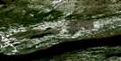
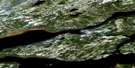
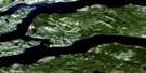
Rigolet Satellite Imagery
To view this satellite map, mouse over the air photo on the right.
You can also download this satellite image map for free:
013J01 Rigolet high-resolution satellite image map.
Maps for the Rigolet aerial map sheet 013J01 at 1:50,000 scale are also available in these versions:
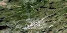
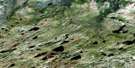
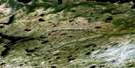
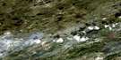
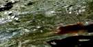
Rigolet Surrounding Area Aerial Photo Maps
 |
 |
 |
 |
 |
 |
 |
 |
 |
 |
 |
 |
 |
 |
 |
 |
© Department of Natural Resources Canada. All rights reserved.
Rigolet Gazetteer
The following places can be found on satellite image map 013J01 Rigolet:
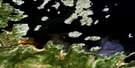
Rigolet Satellite Image: Bays
Burned Wood CoveBurntwood Cove
Collinghams Cove
Coopers Cove
Double Mer
Ely Cove
Fly Cove
Goudies Cove
Goudies Cove
Grassy Cove
Groswater Bay
Hamilton Inlet
Little Harbour
Long Harbour
Mad Dog Cove
Mullins Cove
Nats Discovery
Old House Cove
Pease Cove
Ploctors Cove
Rigolet Cove
Summer Cove
Tea Pond
The Backway
Turner's Bight
Whale Boat Cove
Rigolet Satellite Image: Capes
Back Bay CapeBurned Woods
Double Mer
East Caracajou Point
Grants Head
Grassy Point
Gunnan Point
Halfway Head
Hart Head
Holme Point
Hunniuck
Indian Point
Jewel Point
John Goudies Long Point
Johns Point
Johns Point
Jordans Point
Juniper Point
Lester Point
Little Head
Longue Point
Mountain Cat Point
Mullins Head
Nats Discovery Point
Palliser Point
Peters Point
Procters Head
Rigolet Point
Strathcona Point
The Flat Point
The Flat Pond
Turner's Head
Whale Boat Point
Whittles Point
Rigolet Satellite Image: Channels
Cul-de-SacPike (Back) Run
The Narrows
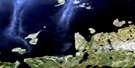
Rigolet Satellite Image: Islands
Broomfield IslandChance Island
Henrietta Island
Hunniuck Island
Sheep Island
Smith Island
Rigolet Satellite Image: Lakes
Lake MelvilleSouthern Pond
Rigolet Satellite Image: Mountains
Big HillGnat Mountain
Horse Chops Hill
Sharp Hill
Sunday Hill
Rigolet Satellite Image: Rivers
Berry BrookCunninghams Brook
Groves Brook
McKenzies Brook
Minks Brooks
Nanook Brook
Rattling Brook
Rigolet Satellite Image: Shoals
Lower Seal RocksMan of War Rock
Rhodes Rocks
Sand Banks
Upper Seal Rocks
Rigolet Satellite Image: Unincorporated areas
Turner's BightRigolet Satellite Image: Villages
Rigolet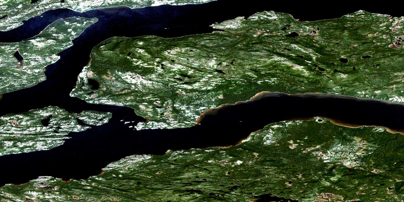
© Department of Natural Resources Canada. All rights reserved.
013J Related Maps:
013J Rigolet013J01E Rigolet
013J01W Rigolet
013J02E Burnt Head
013J02W Burnt Head
013J03E Double Mer
013J03W Double Mer
013J04 No Title
013J05 No Title
013J06 No Title
013J07 No Title
013J08E Ticoralak Island
013J08W Ticoralak Island
013J09E Lake Michael
013J09W Lake Michael
013J10E Mount Benedict
013J10W Mount Benedict
013J11E Micmac River
013J11W Micmac River
013J12E No Title
013J12W No Title
013J13E Post Hill
013J13W Post Hill
013J14E Monkey Hill
013J14W Monkey Hill
013J15E Stag Bay
013J15W Stag Bay
013J16E Webeck Harbour
013J16W Webeck Harbour
