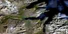
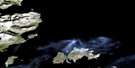
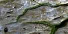
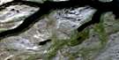
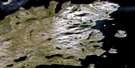
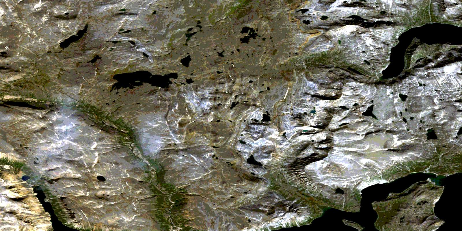
Jens Haven Island Satellite Image Map
Download Free Aerial Photo 014L11 at 1:50,000 scale
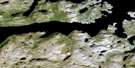
Jens Haven Island Satellite Imagery
To view this satellite map, mouse over the air photo on the right.
You can also download this satellite image map for free:
014L11 Jens Haven Island high-resolution satellite image map.
Maps for the Jens Haven Island aerial map sheet 014L11 at 1:50,000 scale are also available in these versions:
Jens Haven Island Surrounding Area Aerial Photo Maps
 |
 |
||
 |
 |
 |
|
 |
 |
 |
|
 |
 |
 |
 |
© Department of Natural Resources Canada. All rights reserved.
Jens Haven Island Gazetteer
The following places can be found on satellite image map 014L11 Jens Haven Island:
Jens Haven Island Satellite Image: Bays
Bears GutNorth Arm
Saglek Bay
Suviluit Bay
Jens Haven Island Satellite Image: Islands
Branagin IslandJens Haven Island
Jens Haven Island Satellite Image: Mountains
Fry MountainSorviluk Torngats
Suvilub Mountain
Torngat Mountains
Torugak Mountains
Jens Haven Island Satellite Image: Rivers
Nakvak BrookNorth Arm River
© Department of Natural Resources Canada. All rights reserved.
