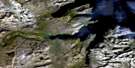
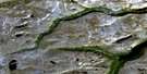
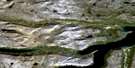
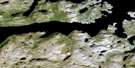
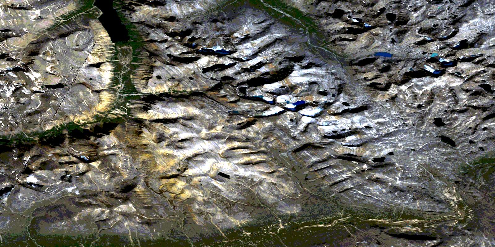
Cirque Mountain Satellite Image Map
Download Free Aerial Photo 014L13 at 1:50,000 scale
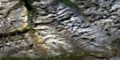
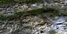
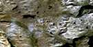
Cirque Mountain Satellite Imagery
To view this satellite map, mouse over the air photo on the right.
You can also download this satellite image map for free:
014L13 Cirque Mountain high-resolution satellite image map.
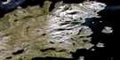
Maps for the Cirque Mountain aerial map sheet 014L13 at 1:50,000 scale are also available in these versions:
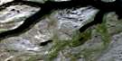
Cirque Mountain Surrounding Area Aerial Photo Maps
 |
 |
||
 |
 |
 |
|
 |
 |
 |
|
 |
 |
 |
 |
© Department of Natural Resources Canada. All rights reserved.
Cirque Mountain Gazetteer
The following places can be found on satellite image map 014L13 Cirque Mountain:
Cirque Mountain Satellite Image: Bays
Tallek ArmCirque Mountain Satellite Image: Falls
Stone Ring FallsCirque Mountain Satellite Image: Glaciers
John Hill GlacierMinaret Glacier
Toth Glacier
Western Glacier
Cirque Mountain Satellite Image: Lakes
Grapeblue TarnIceblue Tarn
Rockbowl Tarn
Tower Lake
Windgap Tarn
Cirque Mountain Satellite Image: Mountains
Cirque MountainJens Haven
Mont d'Iberville
Mont D'Iberville
Mount Caubvick
Mount Cladonia
Mount Erhart
Selamiut Range
Selamiut Tower
Starshape Mountain
Torngarsoak Mountain
Torngat Mountains
Torugak Mountains
Cirque Mountain Satellite Image: Rivers
Dracharts BrookGneiss Brook
Ivitab Konga River
McCormick River
McCornick River
McCornick River
Palmer River
Rivière Koraksoak
Rivière Koroc
Rivière Long
Ruisseau Koroksuakh
Schlotzers Brook
Selamiut Brook
Starshape Brook
Stecker River
Cirque Mountain Satellite Image: Valleys
Snowbridge GorgeVale of Cirques
Vallée de la Koroc
© Department of Natural Resources Canada. All rights reserved.
