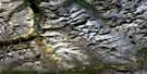
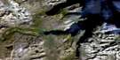
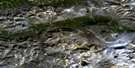
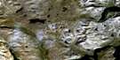
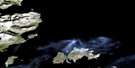
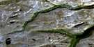
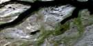
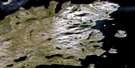
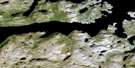
Ramah Bay-Reichel Head Satellite Image Map
Download Free Aerial Photo 014L14 at 1:50,000 scale
Ramah Bay-Reichel Head Satellite Imagery
To view this satellite map, mouse over the air photo on the right.
You can also download this satellite image map for free:
014L14 Ramah Bay-Reichel Head high-resolution satellite image map.
Maps for the Ramah Bay-Reichel Head aerial map sheet 014L14 at 1:50,000 scale are also available in these versions:
Ramah Bay-Reichel Head Surrounding Area Aerial Photo Maps
 |
 |
||
 |
 |
 |
|
 |
 |
 |
|
 |
 |
 |
 |
© Department of Natural Resources Canada. All rights reserved.
Ramah Bay-Reichel Head Gazetteer
The following places can be found on satellite image map 014L14 Ramah Bay-Reichel Head:
Ramah Bay-Reichel Head Satellite Image: Bays
Bell InletLittle Ramah Bay
Ramah Bay
Reddick Bight
Rowsell Harbour
Ramah Bay-Reichel Head Satellite Image: Capes
Bluff PointLookout Point
North Head
Rowsell Head
The Muzzle
Ramah Bay-Reichel Head Satellite Image: Mountains
Blow Me Down MountainKohlmatch Peak
Mount Dalhousie
Quartzite Mountain
Sagetcet
Sorviluk Torngats
Torngat Mountains
Torugak Mountains
Ramah Bay-Reichel Head Satellite Image: Rivers
Stecker RiverTessiujakulluk Brook
Ramah Bay-Reichel Head Satellite Image: Seas
Labrador SeaMer du Labrador
Ramah Bay-Reichel Head Satellite Image: Unincorporated areas
Ramah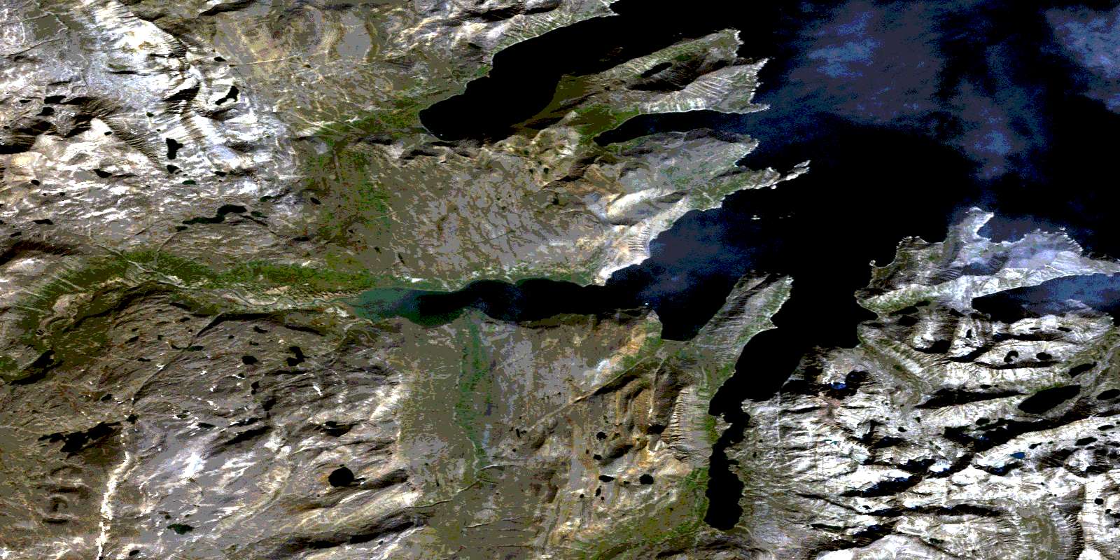
© Department of Natural Resources Canada. All rights reserved.
