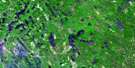
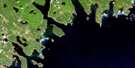
Baccaro Satellite Image Map
Download Free Aerial Photo 020P06 at 1:50,000 scale
Baccaro Satellite Imagery
To view this satellite map, mouse over the air photo on the right.
You can also download this satellite image map for free:
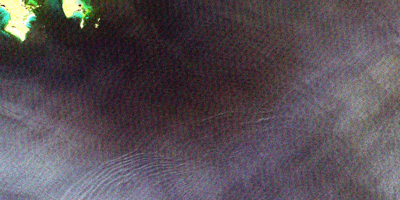
020P06 Baccaro high-resolution satellite image map.
Maps for the Baccaro aerial map sheet 020P06 at 1:50,000 scale are also available in these versions:
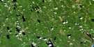
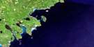
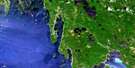
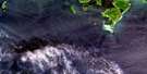
Baccaro Surrounding Area Aerial Photo Maps
 |
 |
 |
|
 |
 |
||
 |
 |
||
© Department of Natural Resources Canada. All rights reserved.
Baccaro Gazetteer
The following places can be found on satellite image map 020P06 Baccaro:
Baccaro Satellite Image: Bays
Barrington BayBass Cove
Blanche Cove
Fort Creek
Negro Harbour
Port La Tour
Port Latour
Southwest Creek
The Sylvia
Baccaro Satellite Image: Beaches
Blanche BeachBaccaro Satellite Image: Capes
Baccaro PointBethels Point
Blanche Point
Cat Point
Crow Neck Peninsula
Fish Point
Fort Point
Green Point
Gull Point
Baccaro Satellite Image: Channels
The GateWest Entrance
Baccaro Satellite Image: Geographical areas
ShelburneBaccaro Satellite Image: Islands
Blanche IslandBrooks Island
Crow Neck Island
Gooseberry Island
Page Island
Sheep Island
Sheep Island
Baccaro Satellite Image: Lakes
The PondsBaccaro Satellite Image: Major municipal/district area - major agglomerations
BarringtonBaccaro Satellite Image: Shoals
Baccaro Outer LedgeBantam Rocks
Barrel Rock
Black Ledge
Black Rock
Blanche Island Bar
Brazil Rock
Brother Rocks
Calf Ledge
Chain Ledges
Coffin Rock
Crow Neck
Cuckold Rock
Eastern Halfmoon
Flying Rock
Hogshead Ledge
Inner Rock
Nickerson Rock
North Ledge
Northeast Rock
Old Hen
Outer Rock
Passage Rock
Robinsons Ball
Robinsons Rock
Seakelp Rock
Seal Rock
Seal Rock
Shag Rock
Sheep Ledge
Sheep Ledge
Shoal Ground
Shot Pouch
Shotty Ledge
South Ledge
Southwest Rock
Sow and Pigs
Stone Horse
Tamerons Ledge
Taylors Rock
The Clump
The Old Hen
The Salvages
Western Halfmoon
Whale Back
Wigwam Rock
Wine Ledge
Baccaro Satellite Image: Unincorporated areas
BaccaroBlanche
East Baccaro
Port La Tour
Port Latour
Smithsville
Stone Horse
West Baccaro
© Department of Natural Resources Canada. All rights reserved.
