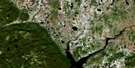
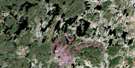
Lac Maublant Satellite Image Map
Download Free Aerial Photo 022M16 at 1:50,000 scale
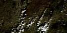
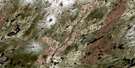
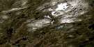
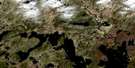
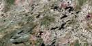
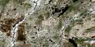
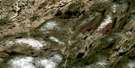
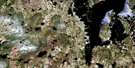
Lac Maublant Satellite Imagery
To view this satellite map, mouse over the air photo on the right.
You can also download this satellite image map for free:
022M16 Lac Maublant high-resolution satellite image map.
Maps for the Lac Maublant aerial map sheet 022M16 at 1:50,000 scale are also available in these versions:
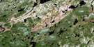
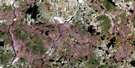
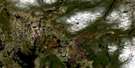
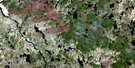
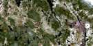
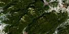
Lac Maublant Surrounding Area Aerial Photo Maps
 |
 |
 |
 |
 |
 |
 |
 |
 |
 |
 |
 |
 |
 |
 |
 |
© Department of Natural Resources Canada. All rights reserved.
Lac Maublant Gazetteer
The following places can be found on satellite image map 022M16 Lac Maublant:
Lac Maublant Satellite Image: Channels
Passe UpashutshunLac Maublant Satellite Image: Geographical areas
AudubonBlanchin
Lac Maublant Satellite Image: Lakes
Lac à l'ÎleLac Bernay
Lac Boivin
Lac Kaashiniuakamat
Lac Katakutautshekamat
Lac Kaussishkakamau
Lac Maublant
Lac Mishta Pukutauk
Lac Pérétibi
Lac Plat
Lac Plétipi
Lac Taukam Katshimitet Uisht
Lac Maublant Satellite Image: Rivers
Rivière aux LoupsRivière aux Outardes
Rivière aux Poissons
Rivière Boivin
Rivière de l'Épinette Rouge
Rivière Desgouttes
Rivière Katunaniu
Rivière Kawa-Sharp-Scat-Now
Ruisseau Lakuashkan
Ruisseau Lekau
Ruisseau Pukutauk
Lac Maublant Satellite Image: River features
Confluent ShatshuCoude Kamishta Uatishisht
Méandre Kamishta Uashtit
Lac Maublant Satellite Image: Road features
Portage KamiluashtPortage Katshakataukau
Portage Mashkatameu
Portage Shipetautshishtakan
Lac Maublant Satellite Image: Unincorporated areas
Kaiashashkupat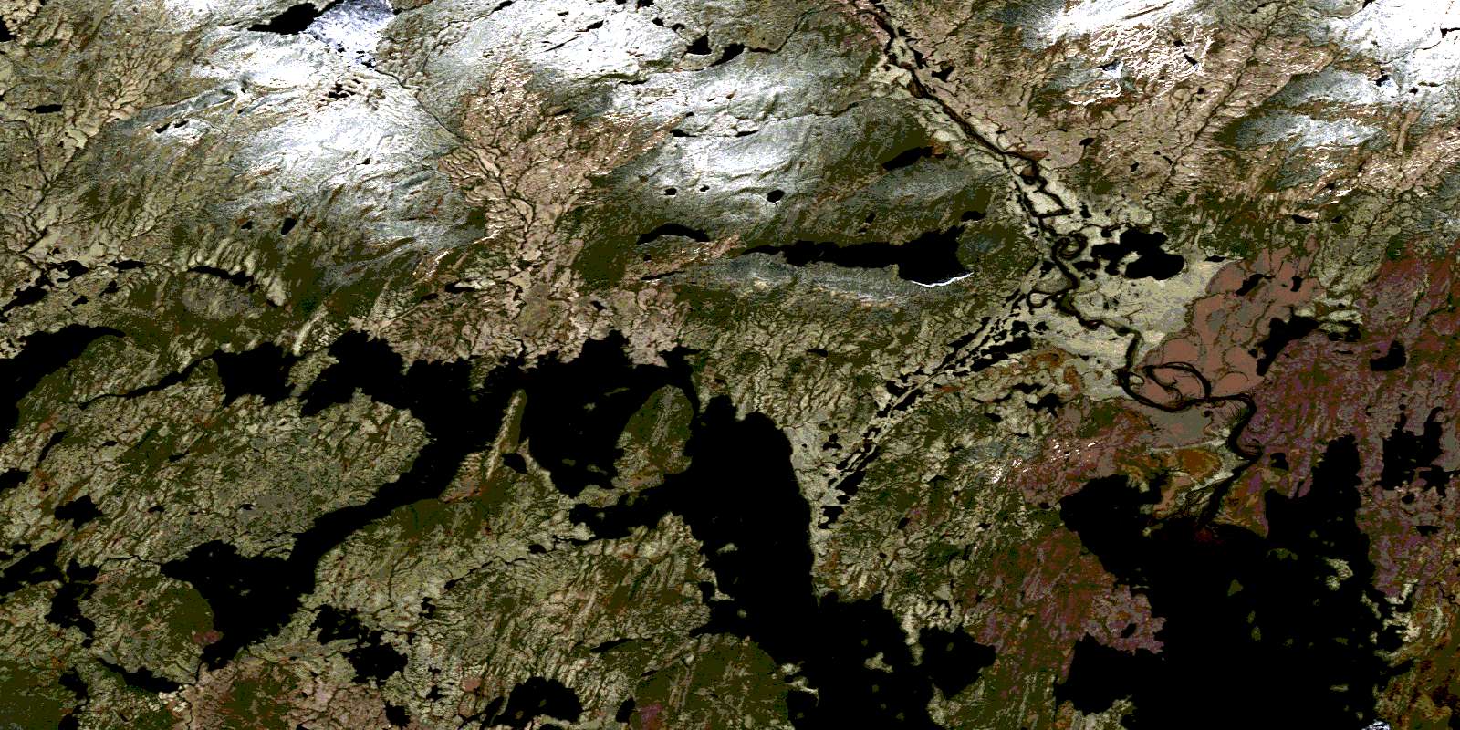
© Department of Natural Resources Canada. All rights reserved.
022M Related Maps:
022M Lac Pletipi022M01 Lac Brue
022M02 Lac Des Sept Milles
022M03 Lac Allenou
022M04 Lac Palairet
022M05 Lac Des Deux Milles
022M06 Lac Natipi
022M07 Lac Piacouadie
022M08 Lac A La Croix
022M09 Lac Aubin-Tellier
022M10 Lac Pambrun
022M11 Lac Courtois
022M12 Lac L'Epinay
022M13 Lac Indicateur
022M14 Riviere Epervanche
022M15 Lac Du Cran Casse
022M16 Lac Maublant
