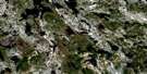
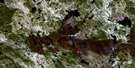
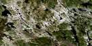
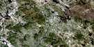
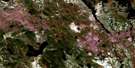
Flora Lake Satellite Image Map
Download Free Aerial Photo 023B15 at 1:50,000 scale
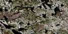
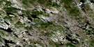
Flora Lake Satellite Imagery
To view this satellite map, mouse over the air photo on the right.
You can also download this satellite image map for free:
023B15 Flora Lake high-resolution satellite image map.
Maps for the Flora Lake aerial map sheet 023B15 at 1:50,000 scale are also available in these versions:
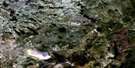
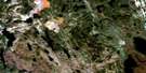
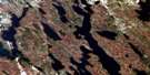
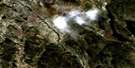
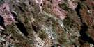
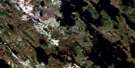
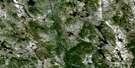
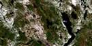
Flora Lake Surrounding Area Aerial Photo Maps
 |
 |
 |
 |
 |
 |
 |
 |
 |
 |
 |
 |
 |
 |
 |
© Department of Natural Resources Canada. All rights reserved.
Flora Lake Gazetteer
The following places can be found on satellite image map 023B15 Flora Lake:
Flora Lake Satellite Image: Bays
Beaver CoveFlora Lake Satellite Image: Channels
The NarrowsFlora Lake Satellite Image: Lakes
Albert LakeBeardon Lake
Beverley Lake
Canning Lake
De Mille Lake
Dumbell Lake
Elephant Head Lake
Firth Lake
Flora Lake
Harrie Lake
Harris Lake
Hay Lake
Jean Lake
Knoll Lake
Lac Ménistouc
Lac Opocopa
Leg Lake
Little Wabush Lake
Long Lake
Lower Loon Lake
Mills Lake
Moose Head Lake
Moosehead Lake
Quartzite Lake
Quartzite Lake
Rectangle Lake
Riordan Lake
Strawberry Lake
Swanson Lake
Tanta Lake
Upper Loon Lake
Vern Lake
Wabush Lake
Wahnahnish Lake
White Lake
Flora Lake Satellite Image: Mountains
Northwest Territories PeakWabush Mountain
Yukon Peak
Flora Lake Satellite Image: Conservation areas
Duley Lake Provincial ParkFlora Lake Satellite Image: Provinces
NewfoundlandQuebec
Québec
Terre-Neuve
Flora Lake Satellite Image: Rivers
Waldorf RiverWalsh River
Flora Lake Satellite Image: Towns
Labrador CityWabush
Flora Lake Satellite Image: Unincorporated areas
Wabush Lake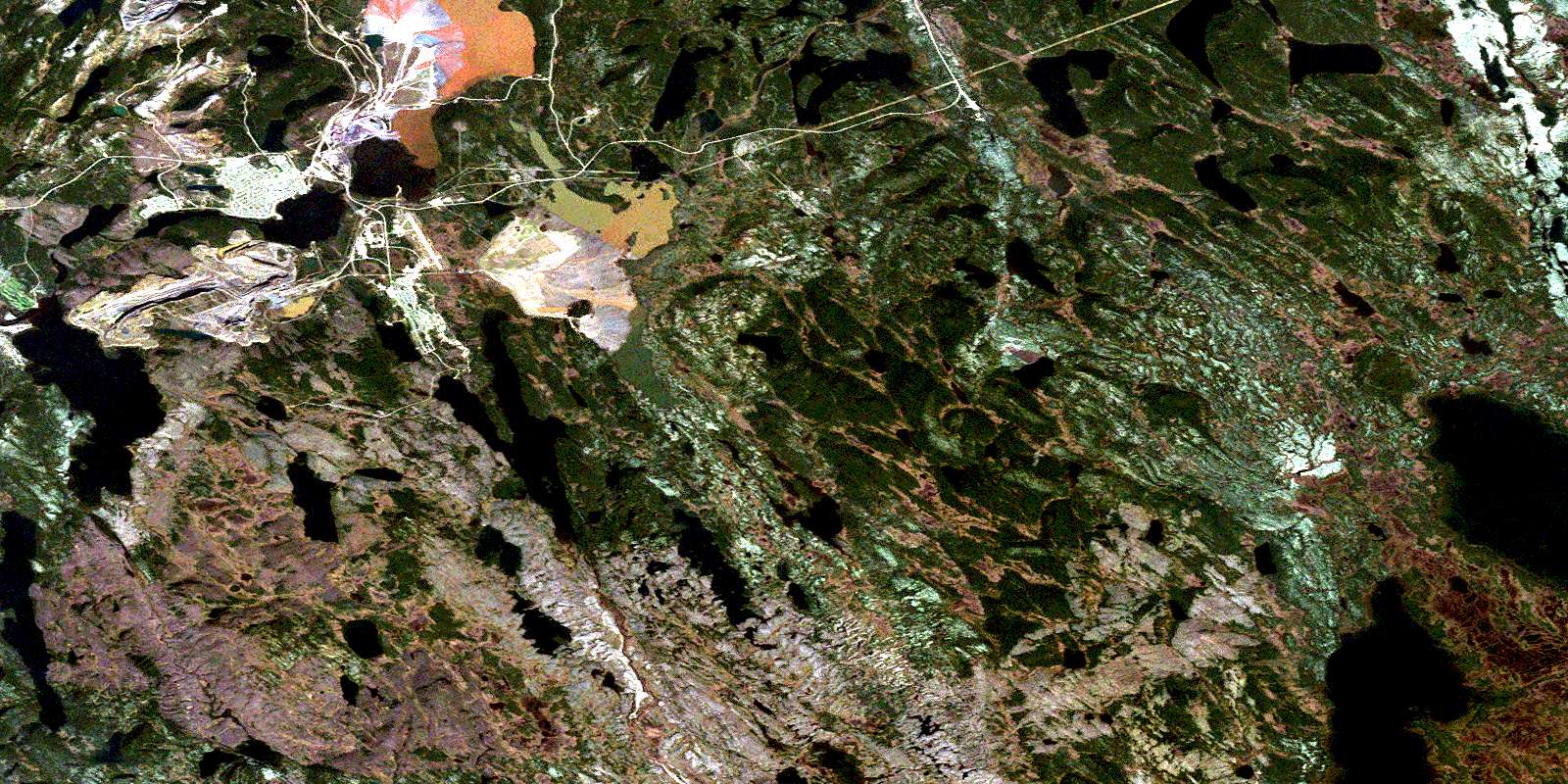
© Department of Natural Resources Canada. All rights reserved.
023B Related Maps:
023B Lac Opocopa023B01 Lac Caopacho
023B02
023B03 Lac Aux Cedres
023B04 Lac Nore
023B05 Lac Peppler
023B06 Lac Gras
023B07 Lac Felix
023B08 Redfir Lake
023B09 Ashuanipi Lake
023B10 Lac Opocopa
023B11 Lac Carheil
023B12 Lac Derby
023B13 Lac De La Bouteille
023B14 Lac Virot
023B15 Flora Lake
023B16 Lac Petite Hermine
