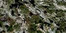
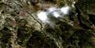
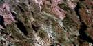
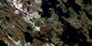
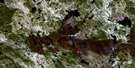
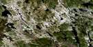
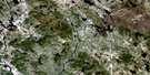
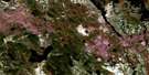
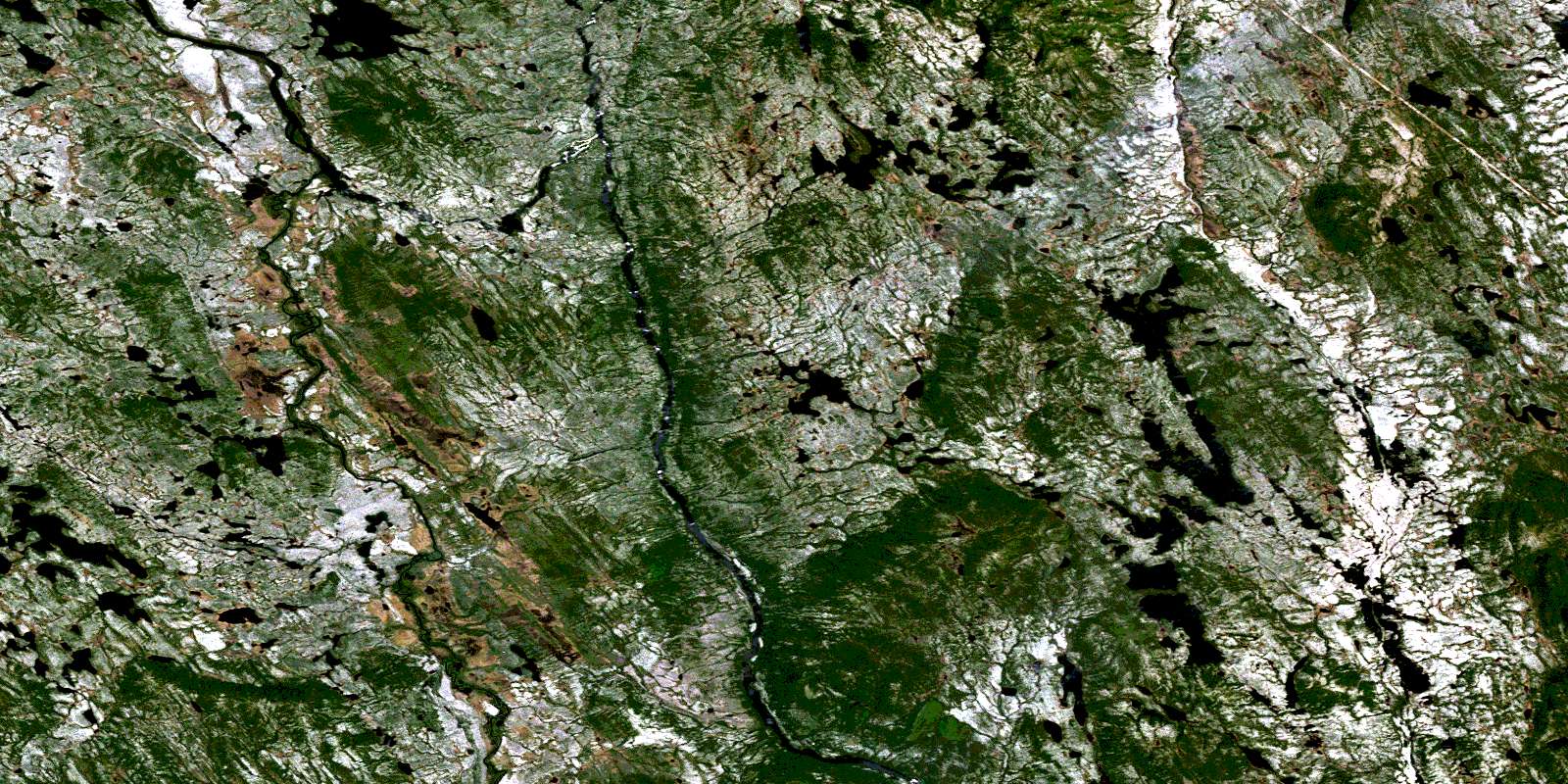
Satellite Image Map
Download Free Aerial Photo 023B02 at 1:50,000 scale
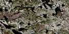
Satellite Imagery
To view this satellite map, mouse over the air photo on the right.
You can also download this satellite image map for free:
023B02 high-resolution satellite image map.
Maps for the aerial map sheet 023B02 at 1:50,000 scale are also available in these versions:
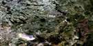
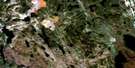
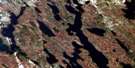
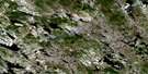
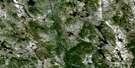
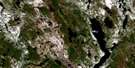
Surrounding Area Aerial Photo Maps
 |
 |
 |
 |
 |
 |
 |
 |
 |
 |
 |
 |
 |
 |
 |
© Department of Natural Resources Canada. All rights reserved.
Gazetteer
The following places can be found on satellite image map 023B02 :
Satellite Image: Falls
Chute du Cinquante-DeuxSatellite Image: Geographical areas
BoilyDesportes
Falaise
Guillimin
Laclède
Stagni
Satellite Image: Lakes
Lac du PortageLac Todd
Satellite Image: Rivers
Rivière aux CastorsRivière aux Pékans
Rivière Félix
Rivière La Ronde
Rivière Moisie
© Department of Natural Resources Canada. All rights reserved.
023B Related Maps:
023B Lac Opocopa023B01 Lac Caopacho
023B02
023B03 Lac Aux Cedres
023B04 Lac Nore
023B05 Lac Peppler
023B06 Lac Gras
023B07 Lac Felix
023B08 Redfir Lake
023B09 Ashuanipi Lake
023B10 Lac Opocopa
023B11 Lac Carheil
023B12 Lac Derby
023B13 Lac De La Bouteille
023B14 Lac Virot
023B15 Flora Lake
023B16 Lac Petite Hermine
