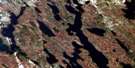
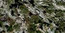
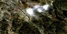
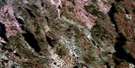
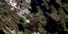
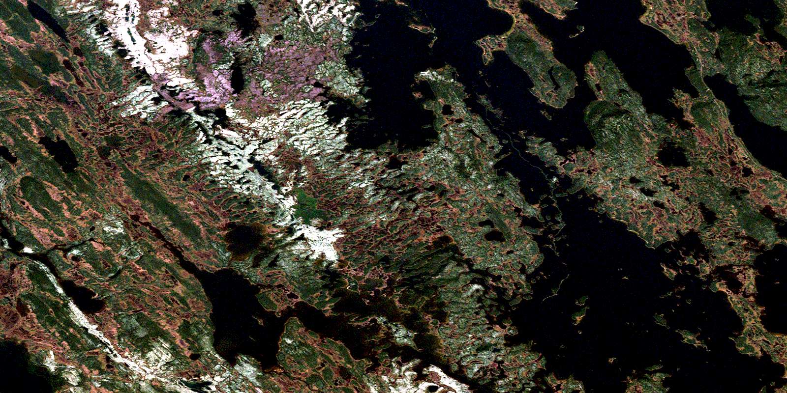
Ashuanipi Lake Satellite Image Map
Download Free Aerial Photo 023B09 at 1:50,000 scale
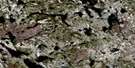
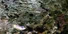
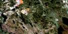
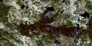
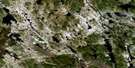
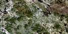
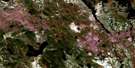
Ashuanipi Lake Satellite Imagery
To view this satellite map, mouse over the air photo on the right.
You can also download this satellite image map for free:
023B09 Ashuanipi Lake high-resolution satellite image map.
Maps for the Ashuanipi Lake aerial map sheet 023B09 at 1:50,000 scale are also available in these versions:
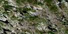
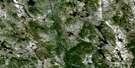
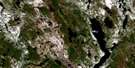
Ashuanipi Lake Surrounding Area Aerial Photo Maps
 |
 |
 |
 |
 |
 |
 |
 |
 |
 |
 |
 |
 |
 |
 |
© Department of Natural Resources Canada. All rights reserved.
Ashuanipi Lake Gazetteer
The following places can be found on satellite image map 023B09 Ashuanipi Lake:
Ashuanipi Lake Satellite Image: Bays
Baie des RochesNorthwest Bay
Ashuanipi Lake Satellite Image: Beaches
Batture de FoinAshuanipi Lake Satellite Image: Capes
Cap du RocherPointe de la Butte
Pointe de Sable
Pointe des Roches
Ashuanipi Lake Satellite Image: Channels
Ashuanipi PassKapitagas Channel
Passe de la Grande Ile
Petite passe aux Outardes
Ashuanipi Lake Satellite Image: Islands
Grande IleGrosse Ile
Île de la Cache
Ile Hélène
Ashuanipi Lake Satellite Image: Lakes
Ashuanipi LakeLac aux Outardes
Lac du Petit Portage
Lac Gagné
Lac Opocopa
Nowell Lake
Racey Lake
Ashuanipi Lake Satellite Image: Mountains
Cap de RocheCap de Roche (Hill)
Ashuanipi Lake Satellite Image: Conservation areas
Redfir Lake-Kapitagas ChannelAshuanipi Lake Satellite Image: Rivers
Petite rivière aux GoélandsRivière aux Esquimaux
Rivière Dufresne
© Department of Natural Resources Canada. All rights reserved.
023B Related Maps:
023B Lac Opocopa023B01 Lac Caopacho
023B02
023B03 Lac Aux Cedres
023B04 Lac Nore
023B05 Lac Peppler
023B06 Lac Gras
023B07 Lac Felix
023B08 Redfir Lake
023B09 Ashuanipi Lake
023B10 Lac Opocopa
023B11 Lac Carheil
023B12 Lac Derby
023B13 Lac De La Bouteille
023B14 Lac Virot
023B15 Flora Lake
023B16 Lac Petite Hermine
