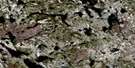
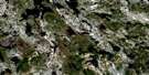
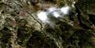
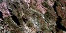
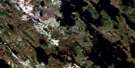
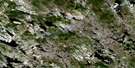
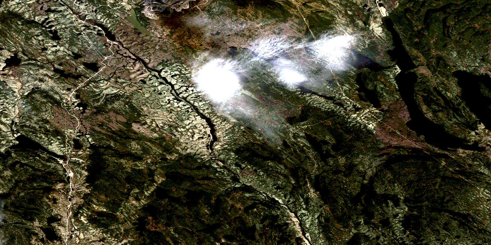
Lac Carheil Satellite Image Map
Download Free Aerial Photo 023B11 at 1:50,000 scale
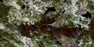
Lac Carheil Satellite Imagery
To view this satellite map, mouse over the air photo on the right.
You can also download this satellite image map for free:
023B11 Lac Carheil high-resolution satellite image map.
Maps for the Lac Carheil aerial map sheet 023B11 at 1:50,000 scale are also available in these versions:
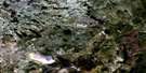
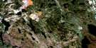
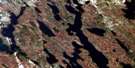
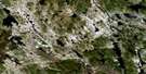
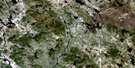
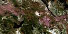
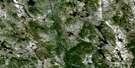
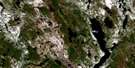
Lac Carheil Surrounding Area Aerial Photo Maps
 |
 |
 |
 |
 |
 |
 |
 |
 |
 |
 |
 |
 |
 |
 |
© Department of Natural Resources Canada. All rights reserved.
Lac Carheil Gazetteer
The following places can be found on satellite image map 023B11 Lac Carheil:
Lac Carheil Satellite Image: Falls
Chute du CastorLac Carheil Satellite Image: Geographical areas
BassetEsmanville
Faber
Gueslis
Hauteville
Lislois
Normanville
Raimbault
Saint-Castin
Lac Carheil Satellite Image: Lakes
Étang DiopsideÉtang Pegmatite
Lac Audrea
Lac Bonne Pêche
Lac Carheil
Lac Cladonie
Lac Côté
Lac De La Rue
Lac Dickybird
Lac du Don
Lac du Marbre
Lac Duck
Lac Esker
Lac Gull
Lac Gull Nord
Lac Horseshoe
Lac Jonquet
Lac Knife
Lac Low Ball
Lac Magridge
Lac Moon
Lac Rainy
Lac Saint-Ange
Lac Webb
Lac Witch
Lac Carheil Satellite Image: Mountains
Mont WrightMonts Severson
Lac Carheil Satellite Image: Natural resources sites
Mine de Mont-WrightMine South Hill
Lac Carheil Satellite Image: Rivers
Petite rivière ManicouaganRivière aux Pékans
© Department of Natural Resources Canada. All rights reserved.
023B Related Maps:
023B Lac Opocopa023B01 Lac Caopacho
023B02
023B03 Lac Aux Cedres
023B04 Lac Nore
023B05 Lac Peppler
023B06 Lac Gras
023B07 Lac Felix
023B08 Redfir Lake
023B09 Ashuanipi Lake
023B10 Lac Opocopa
023B11 Lac Carheil
023B12 Lac Derby
023B13 Lac De La Bouteille
023B14 Lac Virot
023B15 Flora Lake
023B16 Lac Petite Hermine
