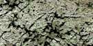
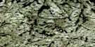
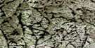
Lac La Milleraye Satellite Image Map
Download Free Aerial Photo 023J04 at 1:50,000 scale
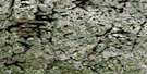
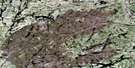
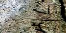
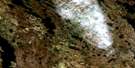
Lac La Milleraye Satellite Imagery
To view this satellite map, mouse over the air photo on the right.
You can also download this satellite image map for free:
023J04 Lac La Milleraye high-resolution satellite image map.
Maps for the Lac La Milleraye aerial map sheet 023J04 at 1:50,000 scale are also available in these versions:
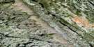
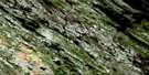
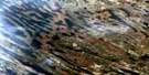
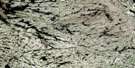
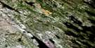
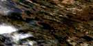
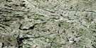
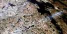
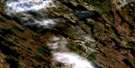
Lac La Milleraye Surrounding Area Aerial Photo Maps
 |
 |
 |
 |
 |
 |
 |
 |
 |
 |
 |
 |
 |
 |
 |
 |
© Department of Natural Resources Canada. All rights reserved.
Lac La Milleraye Gazetteer
The following places can be found on satellite image map 023J04 Lac La Milleraye:
Lac La Milleraye Satellite Image: Lakes
Lac La MillerayeLac Ribero
Lac Vopell
Lac La Milleraye Satellite Image: Rivers
McPhadyen River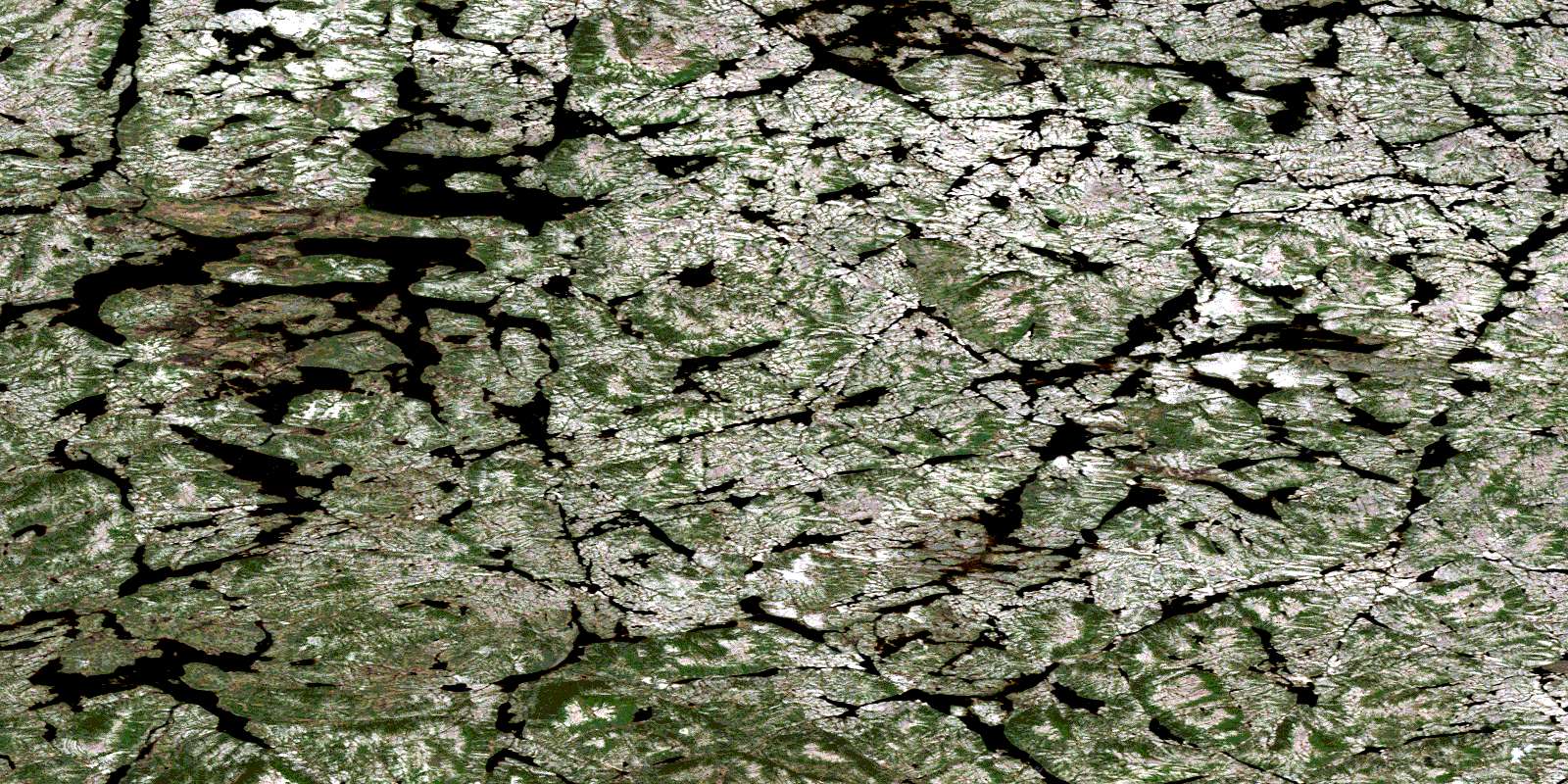
© Department of Natural Resources Canada. All rights reserved.
023J Related Maps:
023J Schefferville023J01 Cavanagh
023J02 Mcphadyen River
023J03E No Title
023J03W No Title
023J04E Lac La Milleraye
023J04W Lac La Milleraye
023J05E Sandy Lake
023J05W Sandy Lake
023J06E Lac Desliens
023J06W Lac Desliens
023J07 Menihek Lakes
023J08E Marble Lake
023J08W Marble Lake
023J09E Cavers Lake
023J09W Cavers Lake
023J10E Stakit Lake
023J10W Stakit Lake
023J11 Lac Clugny
023J12E Lac Avezac
023J12W Lac Avezac
023J13E Lac Bringadin
023J13W Lac Bringadin
023J14 Elross Lake
023J15 Lac Knob
023J16 Hollinger Lake
