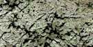
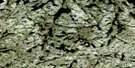
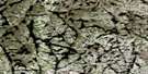
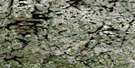
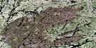
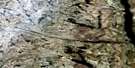
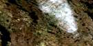
Elross Lake Satellite Image Map
Download Free Aerial Photo 023J14 at 1:50,000 scale
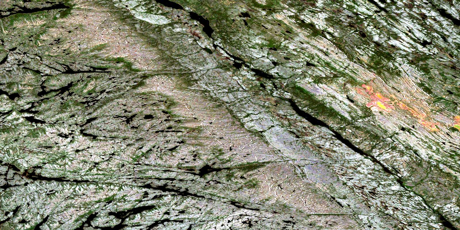
Elross Lake Satellite Imagery
To view this satellite map, mouse over the air photo on the right.
You can also download this satellite image map for free:
023J14 Elross Lake high-resolution satellite image map.
Maps for the Elross Lake aerial map sheet 023J14 at 1:50,000 scale are also available in these versions:
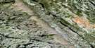
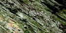
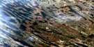
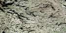
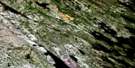
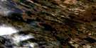
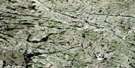
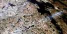
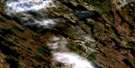
Elross Lake Surrounding Area Aerial Photo Maps
 |
 |
 |
 |
 |
 |
 |
 |
 |
 |
 |
 |
 |
 |
 |
 |
© Department of Natural Resources Canada. All rights reserved.
Elross Lake Gazetteer
The following places can be found on satellite image map 023J14 Elross Lake:
Elross Lake Satellite Image: Lakes
Boot LakeBurnetta Lake
Curlingstone Lake
Dizzle Lake
Elross Lake
Fini Lake
Fleming Lake
Goodream Lake
Greenbush Lake
Hematite Lake
Ione Lake
Island Pond
Kivivic Lake
Lac à la Truite
Lac Allspur
Lac Bazil
Lac Boucault
Lac de la Source
Lac de l'Hématite
Lac Deacon
Lac Denyse
Lac du Pied de la Montagne
Lac Dumb-Bell
Lac Gravy
Lac Guillaume
Lac Guy
Lac Haltère
Lac Hamard
Lac Hillfoot
Lac Hyman
Lac Icecold
Lac La Borde
Lac La Miltière
Lac La Tesserie
Lac Lilois
Lac Long-John
Lac MacDonald
Lac Munroe
Lac Placide
Lac Vallard
Morley Lake
O'Nelly Lake
Parsnip Lake
Pinette Lake
Rosemary Lake
Toms Pond
Triangle Lake
Elross Lake Satellite Image: Rivers
Elross CreekGeren Brook
Goodream Creek
Greenbush Brook
Howells River
Kivivic Brook
Ruisseau Boulder
Ruisseau Geren
Ruisseau La Potardière
Ruisseau La Potardière
Ruisseau Swampy
Sunset Creek
© Department of Natural Resources Canada. All rights reserved.
023J Related Maps:
023J Schefferville023J01 Cavanagh
023J02 Mcphadyen River
023J03E No Title
023J03W No Title
023J04E Lac La Milleraye
023J04W Lac La Milleraye
023J05E Sandy Lake
023J05W Sandy Lake
023J06E Lac Desliens
023J06W Lac Desliens
023J07 Menihek Lakes
023J08E Marble Lake
023J08W Marble Lake
023J09E Cavers Lake
023J09W Cavers Lake
023J10E Stakit Lake
023J10W Stakit Lake
023J11 Lac Clugny
023J12E Lac Avezac
023J12W Lac Avezac
023J13E Lac Bringadin
023J13W Lac Bringadin
023J14 Elross Lake
023J15 Lac Knob
023J16 Hollinger Lake
