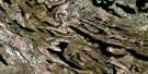
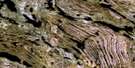
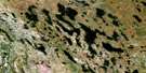
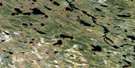
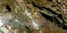
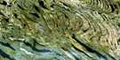
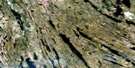
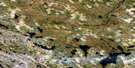
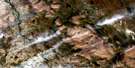
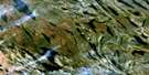
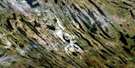
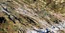
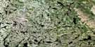
Lac Ahr Satellite Image Map
Download Free Aerial Photo 023O10 at 1:50,000 scale
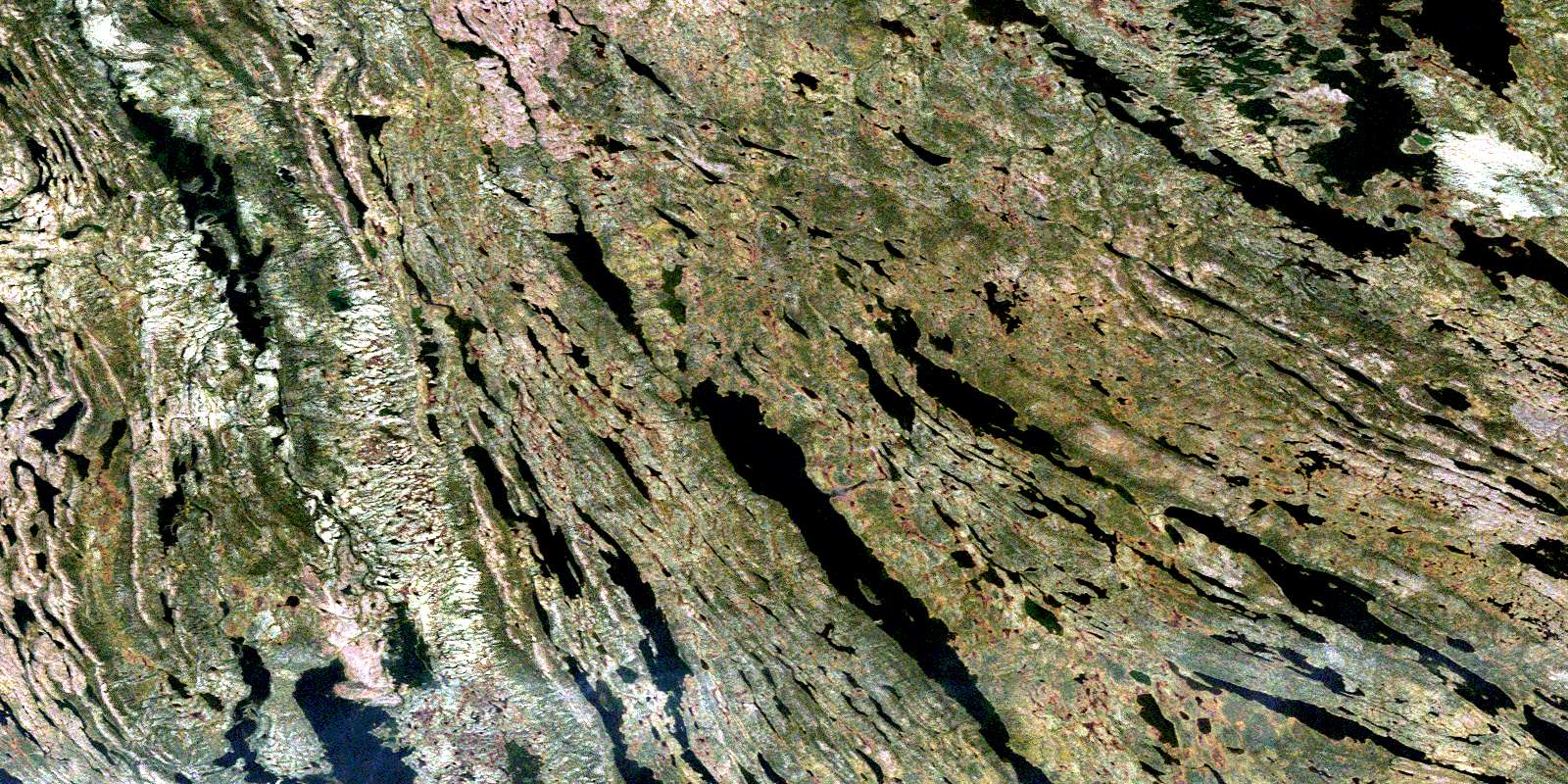
Lac Ahr Satellite Imagery
To view this satellite map, mouse over the air photo on the right.
You can also download this satellite image map for free:
023O10 Lac Ahr high-resolution satellite image map.
Maps for the Lac Ahr aerial map sheet 023O10 at 1:50,000 scale are also available in these versions:
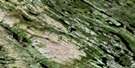
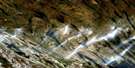
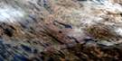
Lac Ahr Surrounding Area Aerial Photo Maps
 |
 |
 |
 |
 |
 |
 |
 |
 |
 |
 |
 |
 |
 |
 |
 |
© Department of Natural Resources Canada. All rights reserved.
Lac Ahr Gazetteer
The following places can be found on satellite image map 023O10 Lac Ahr:
Lac Ahr Satellite Image: Bays
Baie FloatLac Ahr Satellite Image: Lakes
Lac AhrLac Ahrdock
Lac Ahrwal
Lac Aymon
Lac Bourlamaque
Lac Chassin
Lac d'Aux
Lac de la Chance
Lac Du Bauchet
Lac Glance
Lac Harvut
Lac Hurst
Lac Irène
Lac Keato
Lac La Sudrie
Lac Morpain
Lac Murdoch
Lac Némo
Lac Outlook
Lac Protecto
Lac Swampy
Lac Swanty
Lac Villeneuve
Lac Volcanic
Lac Walker
Lac Youngreen
Lac Ahr Satellite Image: Rivers
Rivière MurdochRivière Wheeler
© Department of Natural Resources Canada. All rights reserved.
023O Related Maps:
023O Lac Wakuach023O01E Lac Willbob
023O01W Lac Willbob
023O02E Lac Tait
023O02W Lac Tait
023O03E Lac De La Frontiere
023O03W Lac De La Frontiere
023O04E Lac Pailleraut
023O04W Lac Pailleraut
023O05 Lac Helluva
023O06 Lac Le Fer
023O07 Lac Bacchus
023O08 Lac Thompson
023O09 Lac Rivet
023O10 Lac Ahr
023O11 Lac Musset
023O12 Lac Wakuach
023O13 Lac Ribero
023O14 Collines Corrugated
023O15 Lac Vannes
023O16 Lac Gitton
