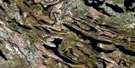
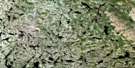
Lac Le Fer Satellite Image Map
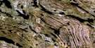
Download Free Aerial Photo 023O06 at 1:50,000 scale
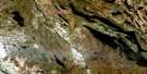
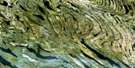
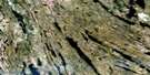
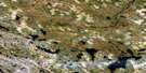
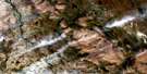
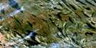
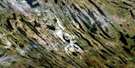
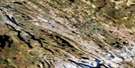
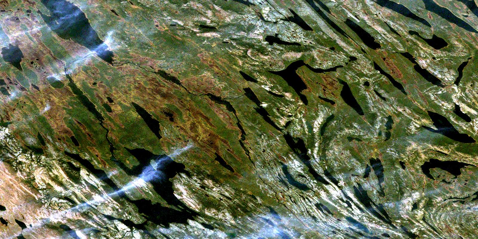
Lac Le Fer Satellite Imagery
To view this satellite map, mouse over the air photo on the right.
You can also download this satellite image map for free:
023O06 Lac Le Fer high-resolution satellite image map.
Maps for the Lac Le Fer aerial map sheet 023O06 at 1:50,000 scale are also available in these versions:
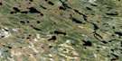
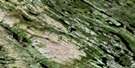
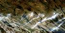
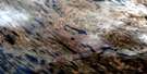
Lac Le Fer Surrounding Area Aerial Photo Maps
 |
 |
 |
 |
 |
 |
 |
 |
 |
 |
 |
 |
 |
 |
 |
 |
© Department of Natural Resources Canada. All rights reserved.
Lac Le Fer Gazetteer
The following places can be found on satellite image map 023O06 Lac Le Fer:
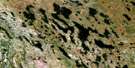
Lac Le Fer Satellite Image: Lakes
Lac BilliardLac Blackbird
Lac Boulder
Lac Boutet
Lac Des Landes
Lac Jack
Lac Jigsaw
Lac Le Fer
Lac Lerreau
Lac Louis
Lac Maquart
Lac Messaïger
Lac Pauline
Lac Pelegrin
Lac Perséphone
Lac Pickup
Lac Rouge
Lac Sanderson
Lac Veronica
Lac Wakuach
Lac Le Fer Satellite Image: Rivers
Rivière FerrumRivière Swampy Bay
Lac Le Fer Satellite Image: Villages
KawawachikamachSchefferville
© Department of Natural Resources Canada. All rights reserved.
023O Related Maps:
023O Lac Wakuach023O01E Lac Willbob
023O01W Lac Willbob
023O02E Lac Tait
023O02W Lac Tait
023O03E Lac De La Frontiere
023O03W Lac De La Frontiere
023O04E Lac Pailleraut
023O04W Lac Pailleraut
023O05 Lac Helluva
023O06 Lac Le Fer
023O07 Lac Bacchus
023O08 Lac Thompson
023O09 Lac Rivet
023O10 Lac Ahr
023O11 Lac Musset
023O12 Lac Wakuach
023O13 Lac Ribero
023O14 Collines Corrugated
023O15 Lac Vannes
023O16 Lac Gitton
