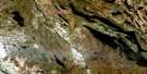
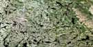
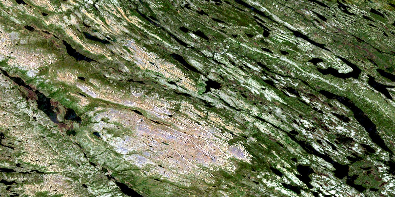
Lac De La Frontiere Satellite Image Map
Download Free Aerial Photo 023O03 at 1:50,000 scale
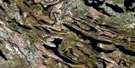
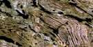
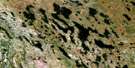
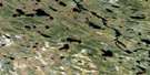
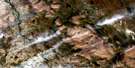
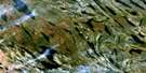
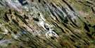
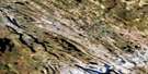
Lac De La Frontiere Satellite Imagery
To view this satellite map, mouse over the air photo on the right.
You can also download this satellite image map for free:
023O03 Lac De La Frontiere high-resolution satellite image map.
Maps for the Lac De La Frontiere aerial map sheet 023O03 at 1:50,000 scale are also available in these versions:
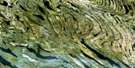
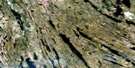
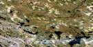
Lac De La Frontiere Surrounding Area Aerial Photo Maps
 |
 |
 |
 |
 |
 |
 |
 |
 |
 |
 |
 |
 |
 |
 |
 |
© Department of Natural Resources Canada. All rights reserved.
Lac De La Frontiere Gazetteer
The following places can be found on satellite image map 023O03 Lac De La Frontiere:
Lac De La Frontiere Satellite Image: Lakes
Foggy LakeGilles Lake
Harry Lake
Howells Lake
Joan Lake
Kivivic Lake
Lac Annabel
Lac Bait
Lac Blackbird
Lac Boundary
Lac Bourdet
Lac Boutet
Lac Bruin
Lac de la Frontière
Lac de l'Ours Brun
Lac Foggy
Lac Gillard
Lac Gilles
Lac Gillespie
Lac Hameau
Lac Harris
Lac Harry
Lac Hook
Lac Jigsaw
Lac Joan
Lac La Tesserie
Lac Leroy
Lac Lespinay
Lac Lottie
Lac Maquart
Lac Margaret-Nash
Lac Mollie
Lac Nash
Lac Partington
Lac Roullois
Lac Saint-Martin
Lac Scott
Lac Snow
Lac Sunny Mountain
Lac Swampy
Lac Twisted
Lac Weasel
Lottie Lake
Nash Lake
Rocky Pond
Rocky Pond
Sunny Mountain Lake
Lac De La Frontiere Satellite Image: Mountains
Geren MountainMont Geren
Mont Sunny
Lac De La Frontiere Satellite Image: Rivers
Foggy BrookHowells River
Joan Brook
Kivivic Brook
Lottie Brook
Rivière Ferrum
Rivière Goodwood
Rivière Swampy Bay
Rocky Brook
Ruisseau Foggy
Ruisseau Geren
Ruisseau Joan
Ruisseau La Potardière
Ruisseau La Potardière
Ruisseau Lespinay
Ruisseau Lottie
Ruisseau Pinacle
Ruisseau Rocky
Ruisseau Scott
Ruisseau Swampy
Lac De La Frontiere Satellite Image: Villages
KawawachikamachSchefferville
© Department of Natural Resources Canada. All rights reserved.
023O Related Maps:
023O Lac Wakuach023O01E Lac Willbob
023O01W Lac Willbob
023O02E Lac Tait
023O02W Lac Tait
023O03E Lac De La Frontiere
023O03W Lac De La Frontiere
023O04E Lac Pailleraut
023O04W Lac Pailleraut
023O05 Lac Helluva
023O06 Lac Le Fer
023O07 Lac Bacchus
023O08 Lac Thompson
023O09 Lac Rivet
023O10 Lac Ahr
023O11 Lac Musset
023O12 Lac Wakuach
023O13 Lac Ribero
023O14 Collines Corrugated
023O15 Lac Vannes
023O16 Lac Gitton
