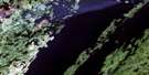
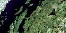
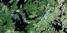
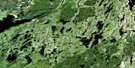
Lac Primont Satellite Image Map
Download Free Aerial Photo 032I08 at 1:50,000 scale
Lac Primont Satellite Imagery
To view this satellite map, mouse over the air photo on the right.
You can also download this satellite image map for free:
032I08 Lac Primont high-resolution satellite image map.
Maps for the Lac Primont aerial map sheet 032I08 at 1:50,000 scale are also available in these versions:
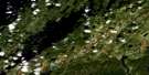
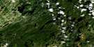
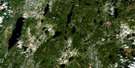
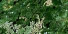
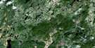
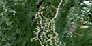
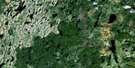
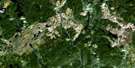
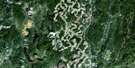
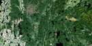
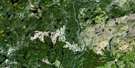
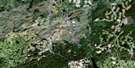
Lac Primont Surrounding Area Aerial Photo Maps
 |
 |
 |
 |
 |
 |
 |
 |
 |
 |
 |
 |
 |
 |
 |
 |
© Department of Natural Resources Canada. All rights reserved.
Lac Primont Gazetteer
The following places can be found on satellite image map 032I08 Lac Primont:
Lac Primont Satellite Image: Lakes
Lac AbricotLac Aqua
Lac Beau
Lac Céline
Lac Coco
Lac de la Colline
Lac du Carcajou
Lac du Huard
Lac du Mont
Lac du Portage
Lac Duo
Lac Édèse
Lac Elle
Lac en Six
Lac Françoise
Lac Fuchsia
Lac Gazy
Lac Gilles
Lac Gondouin
Lac Gordon
Lac Goutte
Lac Indigo
Lac Jaune
Lac Kim
Lac Lilas
Lac Lucie
Lac Mauve
Lac Or
Lac Pauvre
Lac Pit
Lac Plat
Lac Point
Lac Primont
Lac Safran
Lac Saint-Gelais
Lac Vermeil
Lac Yvan
Petit lac Boudreault
Petit lac Saint-Gelais
Lac Primont Satellite Image: Rivers
Rivière à FrançoisRivière Daniel
Rivière des Framboises
Rivière Mistassini
Lac Primont Satellite Image: Unincorporated areas
La Fourche
© Department of Natural Resources Canada. All rights reserved.
032I Related Maps:
032I Baie Abatagouche032I01 Lac Morampont
032I02 Lac Verreault
032I03 Lac Dutilly
032I04 Lac Des Canots
032I05 Baie-Du-Poste
032I06 Lac Claverie
032I07 Lac Pauli
032I08 Lac Primont
032I09 Lac Daniel
032I10 Lac Des Passes
032I11 Lac Linne
032I12 Lac Deleuze
032I13 Ile Guillaume-Couture
032I14 Lac Bonneville
032I15 Lac Cosnier
032I16 Lac De Vau
