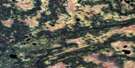
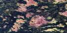
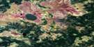
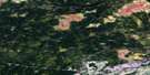
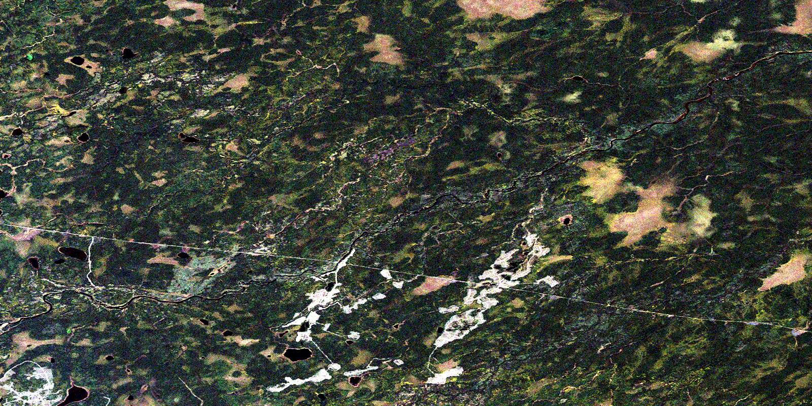
Atikasibi River Satellite Image Map
Download Free Aerial Photo 042K04 at 1:50,000 scale
Atikasibi River Satellite Imagery
To view this satellite map, mouse over the air photo on the right.
You can also download this satellite image map for free:
042K04 Atikasibi River high-resolution satellite image map.
Maps for the Atikasibi River aerial map sheet 042K04 at 1:50,000 scale are also available in these versions:
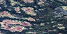
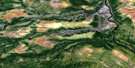
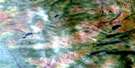
Atikasibi River Surrounding Area Aerial Photo Maps
 |
 |
 |
 |
 |
 |
 |
 |
 |
 |
 |
 |
 |
 |
 |
 |
© Department of Natural Resources Canada. All rights reserved.
Atikasibi River Gazetteer
The following places can be found on satellite image map 042K04 Atikasibi River:
Atikasibi River Satellite Image: Geographical areas
BarlowGoodwin
Henderson
Selwyn
Atikasibi River Satellite Image: Lakes
Atikasibi LakeKapeesawatan Lake
North Barlow Lake
Wabigano Lake
Watini Lake
Atikasibi River Satellite Image: Rivers
Atikasibi RiverFlint River
Kenogami River
Little Legarde River
Lynx Creek
Manafey Creek
North Barlow Creek
Ogahalla Creek
Ogaming Creek
Selwyn River
Wabigano River
Watistiguam River
Atikasibi River Satellite Image: Unincorporated areas
BlancheFlintdale
Lynx
Ogahalla
© Department of Natural Resources Canada. All rights reserved.
042K Related Maps:
042K Kenogami River042K01 Limestone Rapids
042K02 Feagan Lake
042K03 Pagwa River
042K04 Atikasibi River
042K05 Legarde River
042K06 Jog Lake
042K07 Little Ash River
042K08 Mammamattawa
042K09 Pitukupi Lake
042K10 Kingfisher River
042K11 Little Drowning Lake
042K12 Furry Lake
042K13 Barber Lake
042K14 Britt Creek
042K15 Little Drowning River
042K16 Wakashi River
