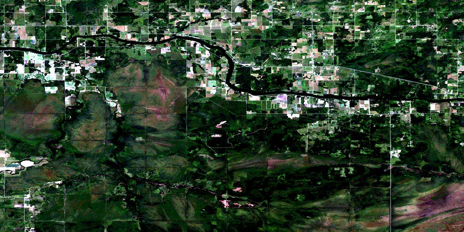
Pinewood Satellite Image Map
Download Free Aerial Photo 052D09 at 1:50,000 scale
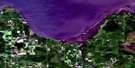
Pinewood Satellite Imagery
To view this satellite map, mouse over the air photo on the right.
You can also download this satellite image map for free:
052D09 Pinewood high-resolution satellite image map.
Maps for the Pinewood aerial map sheet 052D09 at 1:50,000 scale are also available in these versions:
Pinewood Surrounding Area Aerial Photo Maps
 |
 |
||
 |
|||
© Department of Natural Resources Canada. All rights reserved.
Pinewood Gazetteer
The following places can be found on satellite image map 052D09 Pinewood:
Pinewood Satellite Image: Geographical areas
BlueDilke
Morley
Morley Additional
Nelles
Pattullo
Rainy River
Roseberry
Shenston
Tait
Worthington
Pinewood Satellite Image: Indian Reserves
Long Sault Indian Reserve 12Réserve indienne Long Sault 12
Pinewood Satellite Image: Other municipal/district area - miscellaneous
AtwoodBlue
Chapple
Dawson
Dilke
Morley
Worthington
Pinewood Satellite Image: Rapids
Long Sault RapidsPinewood Satellite Image: Rivers
Budrow CreekBunting Creek
Cameron Creek
Cemetery Creek
Clement Creek
Gormley Creek
Pinewood River
Rainy River
Rivière à la Pluie
Sleeman Creek
Sturgeon Creek
Pinewood Satellite Image: Unincorporated areas
MandersPinewood
Shenston
Sleeman
Stratton
Wood
© Department of Natural Resources Canada. All rights reserved.
