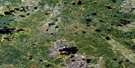
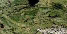
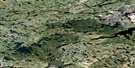
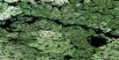
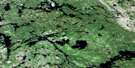
Kagipo Lake Satellite Image Map
Download Free Aerial Photo 053D11 at 1:50,000 scale
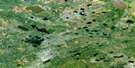
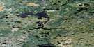
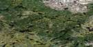
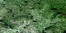
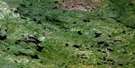
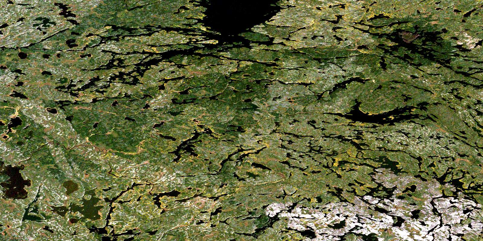
Kagipo Lake Satellite Imagery
To view this satellite map, mouse over the air photo on the right.
You can also download this satellite image map for free:
053D11 Kagipo Lake high-resolution satellite image map.
Maps for the Kagipo Lake aerial map sheet 053D11 at 1:50,000 scale are also available in these versions:
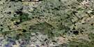
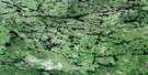
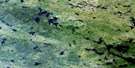
Kagipo Lake Surrounding Area Aerial Photo Maps
 |
 |
 |
 |
 |
 |
 |
 |
 |
 |
 |
 |
 |
 |
 |
 |
© Department of Natural Resources Canada. All rights reserved.
Kagipo Lake Gazetteer
The following places can be found on satellite image map 053D11 Kagipo Lake:
Kagipo Lake Satellite Image: Islands
Kaskakwameeneeseekak IslandKagipo Lake Satellite Image: Lakes
Apeetakayopaskoseewakakik LakeApisko Lake
Asaycheekomi Lake
Black Birch Lake
Charron Lake
Kaaseekokakik Lake
Kachapowaywaykamak Lake
Kagipo Lake
Kamanomeenekak Lake
Kaokasaseekaki Lake
Mackay Lake
Mackay Lake
Marila Lake
Marila Lake
Meandrine Lake
Meandrine Lake
Monaasanani Lake
North Kaokasaseekaki Lake
Palsen Lake
Perreault Lake
Perreault Lake
Shallow Lake
Wasayameesi Lake
Weeseena Lake
Windigo Lake
Kagipo Lake Satellite Image: Provinces
ManitobaKagipo Lake Satellite Image: Rivers
Assapan RiverKaneepeecheekopeeteekwayak River
McPhail River
Meandrine River
Monaasanani Creek
Palsen River
Palsen River
© Department of Natural Resources Canada. All rights reserved.
053D Related Maps:
053D Deer Lake053D01 Old Shoes Lake
053D02 Stout Lake
053D03 Little Grand Rapids
053D04 Horseshoe Lake
053D05 Carr-Harris Lake
053D06 Red Willow Lake
053D07 Namiwan Lake
053D08 Apps Lake
053D09 Mcintosh Bay
053D10 Cherrington Lake
053D11 Kagipo Lake
053D12 Lewis Lake
053D13 Gilchrist Lake
053D14 Acheetamo Lake
053D15 Cobham Lake
053D16 Borland Lake
