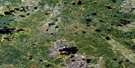
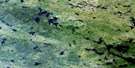
Lewis Lake Satellite Image Map
Download Free Aerial Photo 053D12 at 1:50,000 scale
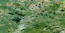
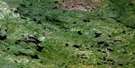
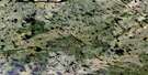
Lewis Lake Satellite Imagery
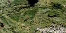
To view this satellite map, mouse over the air photo on the right.
You can also download this satellite image map for free:
053D12 Lewis Lake high-resolution satellite image map.
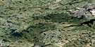
Maps for the Lewis Lake aerial map sheet 053D12 at 1:50,000 scale are also available in these versions:
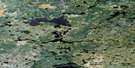
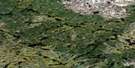
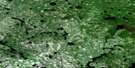
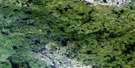
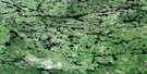
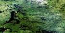
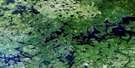
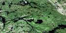
Lewis Lake Surrounding Area Aerial Photo Maps
 |
 |
 |
 |
 |
 |
 |
 |
 |
 |
 |
 |
 |
 |
 |
 |
© Department of Natural Resources Canada. All rights reserved.
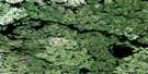
Lewis Lake Gazetteer
The following places can be found on satellite image map 053D12 Lewis Lake:
Lewis Lake Satellite Image: Channels
Wapano RapidsLewis Lake Satellite Image: Lakes
Blackduck LakeFullerton Lake
Gillan Lake
Hallen Lake
Harrop Lake
Kaweekwaseekak Lake
Kawuchuskuskak Lakes
Keecheemuskoosi Lake
Lewis Lake
Lynx Lake
Neekik Lake
Osakaskatawaskosoweenink Lake
Owachapeeneeninik Lake
Pappawin Lake
Peekwachi Lake
Shallow Lake
Whiskeyjack Lake
Work Lake
Lewis Lake Satellite Image: Rapids
Astutini RapidsKapakwawakeecheewonk Rapids
Kawinnipasitamuk Rapids
Kaytakchemanish Rapids
Kitchi Rapids
Meeswi Rapids
Neekik Rapids
Ussupaskak Rapids
Lewis Lake Satellite Image: Rivers
Assapan RiverKiask Creek
McPhail River
Poplar River
Lewis Lake Satellite Image: Unincorporated areas
Matawa Place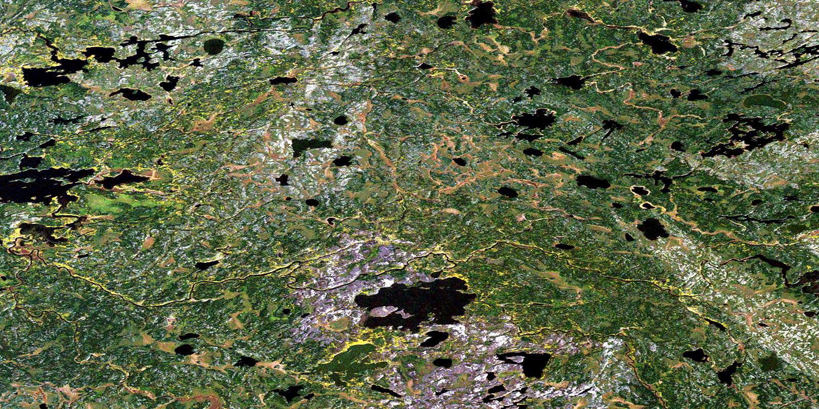
© Department of Natural Resources Canada. All rights reserved.
053D Related Maps:
053D Deer Lake053D01 Old Shoes Lake
053D02 Stout Lake
053D03 Little Grand Rapids
053D04 Horseshoe Lake
053D05 Carr-Harris Lake
053D06 Red Willow Lake
053D07 Namiwan Lake
053D08 Apps Lake
053D09 Mcintosh Bay
053D10 Cherrington Lake
053D11 Kagipo Lake
053D12 Lewis Lake
053D13 Gilchrist Lake
053D14 Acheetamo Lake
053D15 Cobham Lake
053D16 Borland Lake
