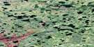
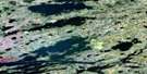
Wilsie Lake Satellite Image Map
Download Free Aerial Photo 053M08 at 1:50,000 scale
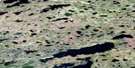
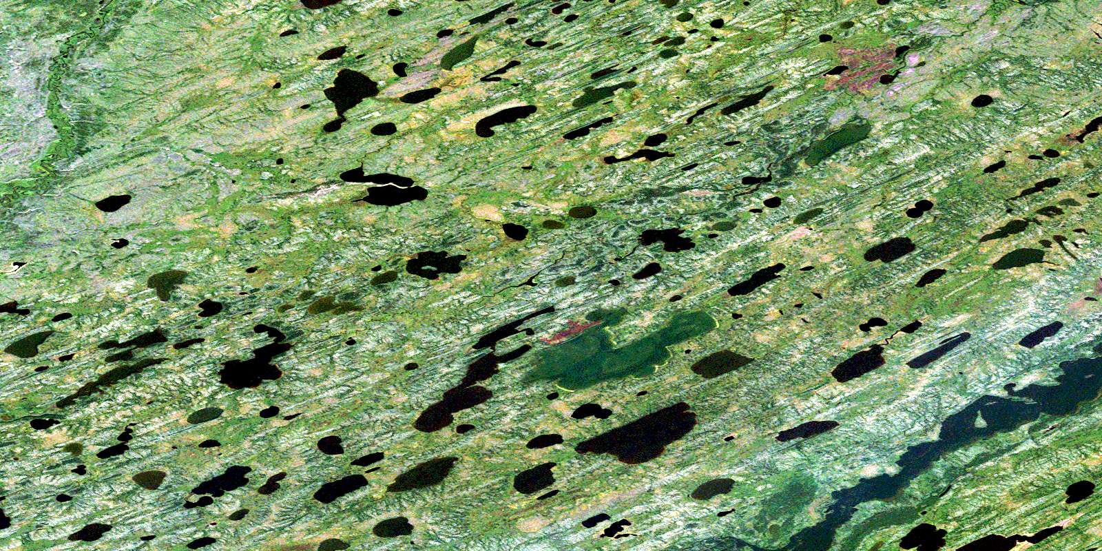
Wilsie Lake Satellite Imagery
To view this satellite map, mouse over the air photo on the right.
You can also download this satellite image map for free:
053M08 Wilsie Lake high-resolution satellite image map.
Maps for the Wilsie Lake aerial map sheet 053M08 at 1:50,000 scale are also available in these versions:
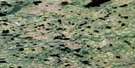
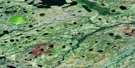
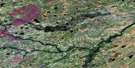
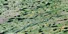
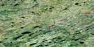
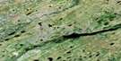
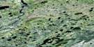
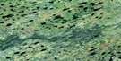
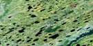
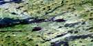
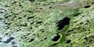
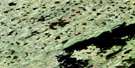
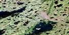
Wilsie Lake Surrounding Area Aerial Photo Maps
 |
 |
 |
 |
 |
 |
 |
 |
 |
 |
 |
 |
 |
 |
 |
 |
© Department of Natural Resources Canada. All rights reserved.
Wilsie Lake Gazetteer
The following places can be found on satellite image map 053M08 Wilsie Lake:
Wilsie Lake Satellite Image: Islands
Tawich IslandWilsie Lake Satellite Image: Lakes
Atikomiskusi LakeAtikooguseesan Lake
Duncan Campbell Lake
James Campbell Lake
Kanatakameskewitik Lake
Mutz Lake
Norquay Lake
Paull Lake
Richardson Lake
Swampy Lake
Truthwaite Lake
Wilsie Lake
Wilsie Lake Satellite Image: Mountains
Brown EskerJohnson Esker
Wilsie Lake Satellite Image: Rivers
Hayes RiverKarloske River
Kokasanakaw River
Moosocheas River
Stupart River
© Department of Natural Resources Canada. All rights reserved.
053M Related Maps:
053M Knee Lake053M01 Makakaysip Lake
053M02 Mines Point
053M03 Whitemud Lake
053M04 Powstick Lake
053M05 Cuddle Lake
053M06 Schwatka Lake
053M07 Elsworth Lake
053M08 Wilsie Lake
053M09 Stupart Lake
053M10 Palmer Lake
053M11 Ransom Lake
053M12 High Hill Lake
053M13 War Lake
053M14 Hubley Lake
053M15 Hawes Lake
053M16 Couture Lake
