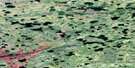
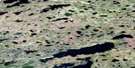
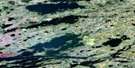
Hubley Lake Satellite Image Map
Download Free Aerial Photo 053M14 at 1:50,000 scale
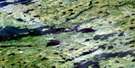
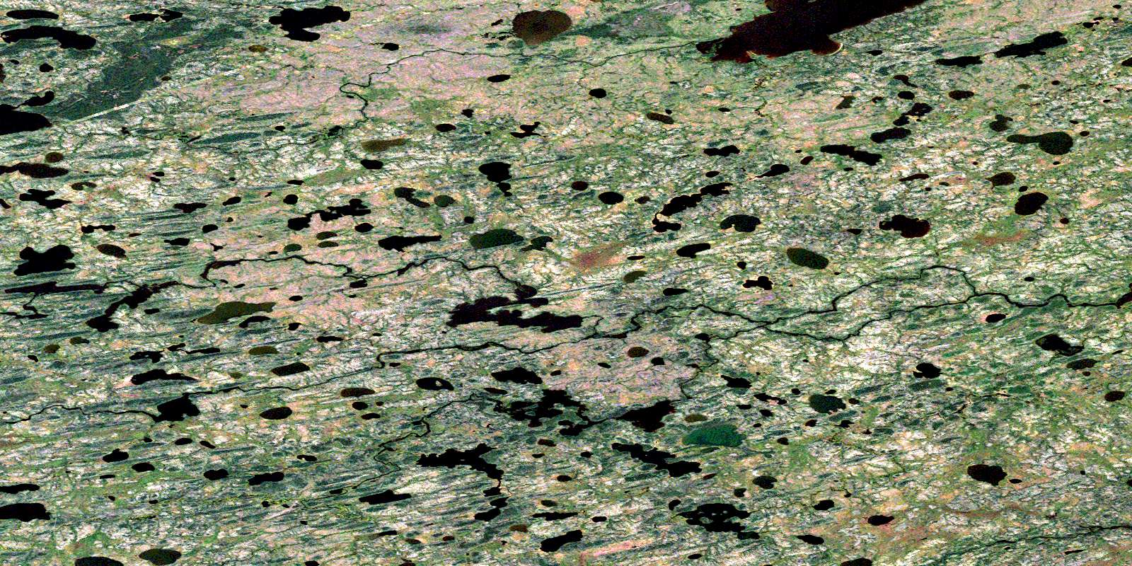
Hubley Lake Satellite Imagery
To view this satellite map, mouse over the air photo on the right.
You can also download this satellite image map for free:
053M14 Hubley Lake high-resolution satellite image map.
Maps for the Hubley Lake aerial map sheet 053M14 at 1:50,000 scale are also available in these versions:
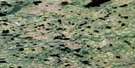
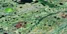
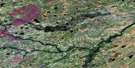
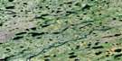
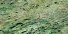
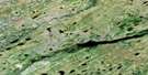
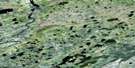
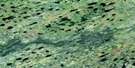
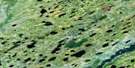
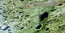
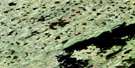
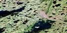
Hubley Lake Surrounding Area Aerial Photo Maps
 |
 |
 |
 |
 |
 |
 |
 |
 |
 |
 |
 |
 |
 |
 |
 |
© Department of Natural Resources Canada. All rights reserved.
Hubley Lake Gazetteer
The following places can be found on satellite image map 053M14 Hubley Lake:
Hubley Lake Satellite Image: Capes
George Watson PeninsulaHubley Lake Satellite Image: Islands
Harold Brown IslandHubley Lake Satellite Image: Lakes
Arlie Clark LakeBlacklock Lake
Cyril Lake
Gardina Lake
Henfrey Lake
Henfry Lake
Hern Lake
Hubley Lake
Kropelnicki Lake
Maskwapin Lake
Millindine Lake
Troup Lake
Wakicomenaw Lake
Hubley Lake Satellite Image: Rapids
Foster RapidsJohn Moore Rapids
Walton Evans Rapids
Hubley Lake Satellite Image: Rivers
Cyril RiverDafoe River
Diana River
Duncan River
Gibbons Creek
High Hill River
Parker Creek
© Department of Natural Resources Canada. All rights reserved.
053M Related Maps:
053M Knee Lake053M01 Makakaysip Lake
053M02 Mines Point
053M03 Whitemud Lake
053M04 Powstick Lake
053M05 Cuddle Lake
053M06 Schwatka Lake
053M07 Elsworth Lake
053M08 Wilsie Lake
053M09 Stupart Lake
053M10 Palmer Lake
053M11 Ransom Lake
053M12 High Hill Lake
053M13 War Lake
053M14 Hubley Lake
053M15 Hawes Lake
053M16 Couture Lake
