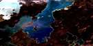
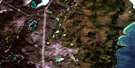
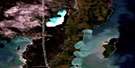
Eating Point Satellite Image Map
Download Free Aerial Photo 063G06 at 1:50,000 scale
Eating Point Satellite Imagery
To view this satellite map, mouse over the air photo on the right.
You can also download this satellite image map for free:
063G06 Eating Point high-resolution satellite image map.
Maps for the Eating Point aerial map sheet 063G06 at 1:50,000 scale are also available in these versions:
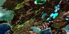
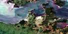
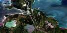
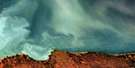
Eating Point Surrounding Area Aerial Photo Maps
 |
 |
 |
 |
 |
 |
 |
|
 |
 |
||
 |
 |
 |
© Department of Natural Resources Canada. All rights reserved.
Eating Point Gazetteer
The following places can be found on satellite image map 063G06 Eating Point:
Eating Point Satellite Image: Bays
Cross BayWoody Bay
Eating Point Satellite Image: Capes
Eating PointFiddler Point
Robinson Point
Ruinjail Point
Sturgeon Gill Point
Woody Point
Eating Point Satellite Image: Islands
Horse IslandHorseshoe Island (Pony Island)
Pony Island
Selkirk Island
Selkirk Island (Horse Island)
Eating Point Satellite Image: Lakes
Buffalo LakeCedar Lake
Foot Print Lake
Island Lake
Kaseekwaywinakunok Lake
Lac Winnipeg
Lake Winnipeg
McKay Lake
Pootachikun Lake
Robertson Lake
Toboggan Lake
Eating Point Satellite Image: Rivers
Buffalo CreekEating Point Creek
Fiddler Creek
Muskwa Creek
Sturgeon Gill Creek
Woody Point Creeks
Eating Point Satellite Image: Towns
Grand Rapids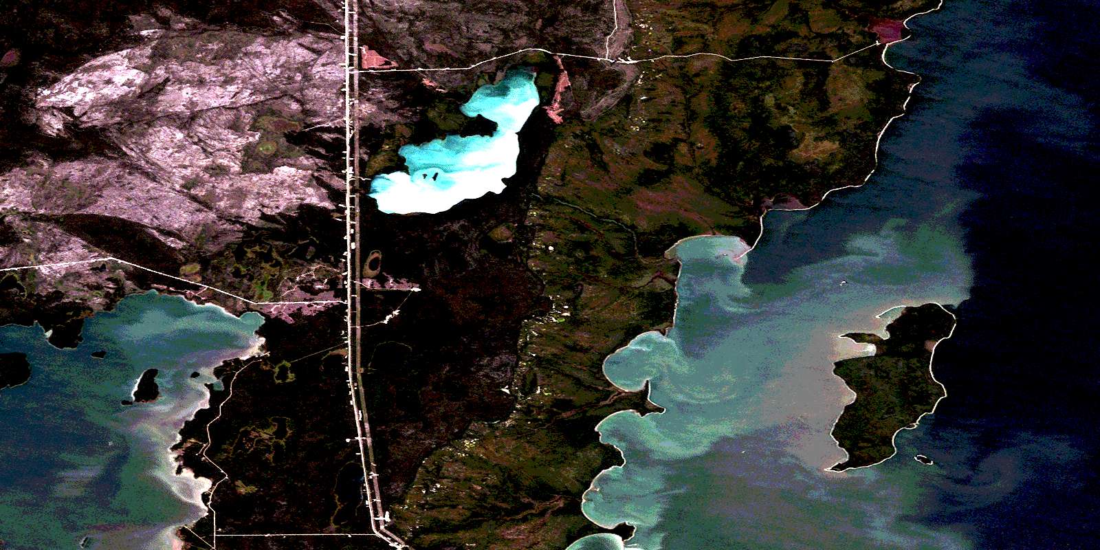
© Department of Natural Resources Canada. All rights reserved.
