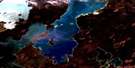
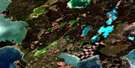
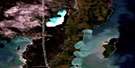
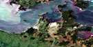
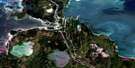
Napanee Bay Satellite Image Map
Download Free Aerial Photo 063G04 at 1:50,000 scale
Napanee Bay Satellite Imagery
To view this satellite map, mouse over the air photo on the right.
You can also download this satellite image map for free:
063G04 Napanee Bay high-resolution satellite image map.
Maps for the Napanee Bay aerial map sheet 063G04 at 1:50,000 scale are also available in these versions:
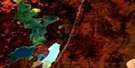
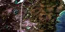
Napanee Bay Surrounding Area Aerial Photo Maps
 |
 |
 |
 |
 |
 |
 |
|
 |
 |
||
 |
 |
 |
© Department of Natural Resources Canada. All rights reserved.
Napanee Bay Gazetteer
The following places can be found on satellite image map 063G04 Napanee Bay:
Napanee Bay Satellite Image: Bays
Cranberry BayCross Bay
Lamb Bay
Napanee Bay
Shallow Bay
Napanee Bay Satellite Image: Capes
Anchor PointKakakenowuchewun Point
Lookout Point
Rabbit Point
Napanee Bay Satellite Image: Channels
The NarrowsNapanee Bay Satellite Image: Indian Reserves
Chemawawin 2Napanee Bay Satellite Image: Islands
Calico IslandCentre Island
Channel Island
Charles Island
Collins Island
Dividing Island
Johnson Island
McKay Island
McMillan Island
Moose Island
Smith Island
Spruce Island
Willow Island
Napanee Bay Satellite Image: Lakes
Cedar LakeKakakenowuchewun Lake
Muskeg Lake
Onuhupeewin Lake
Stable Lake
Napanee Bay Satellite Image: Rapids
Demi-charge RapidsFlying Post
Napanee Bay Satellite Image: Rivers
Cross Bay CreekOnuhupeewin Creek
Rivière Saskatchewan
Saskatchewan River
Napanee Bay Satellite Image: Road features
McKenzie PortageNapanee Bay Satellite Image: Unincorporated areas
Easterville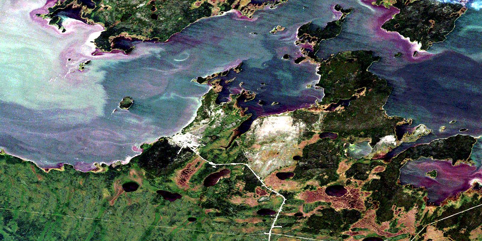
© Department of Natural Resources Canada. All rights reserved.
