Makatesibi Lake Satellite Image Map
Download Free Aerial Photo 063H01 at 1:50,000 scale
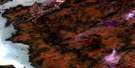
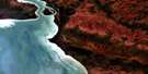
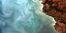
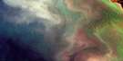
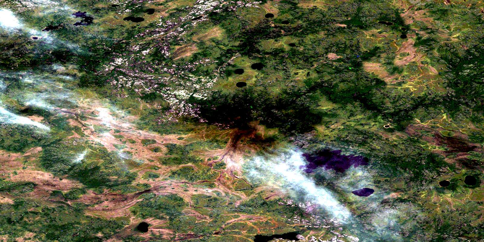
Makatesibi Lake Satellite Imagery
To view this satellite map, mouse over the air photo on the right.
You can also download this satellite image map for free:
063H01 Makatesibi Lake high-resolution satellite image map.
Maps for the Makatesibi Lake aerial map sheet 063H01 at 1:50,000 scale are also available in these versions:
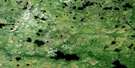
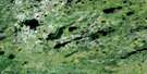
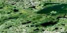
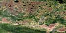
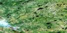
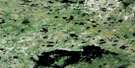
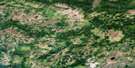
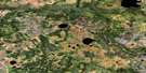
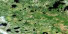
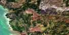
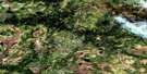
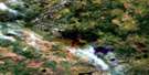
Makatesibi Lake Surrounding Area Aerial Photo Maps
 |
 |
 |
 |
 |
 |
 |
 |
 |
 |
 |
 |
 |
 |
 |
 |
© Department of Natural Resources Canada. All rights reserved.
Makatesibi Lake Gazetteer
The following places can be found on satellite image map 063H01 Makatesibi Lake:
Makatesibi Lake Satellite Image: Lakes
Candline LakeFedi Lake
Hogarth Lake
Makateshib Lakes
Makatesibi Lake
Perry Lake
Roy Lake
Scotten Lake
Yeo Lake
Makatesibi Lake Satellite Image: Rivers
Chachasee RiverMakateshib Creek
Mukutawa River
Nanowin River
Peetootegooyak River
Weaver Creek
Zayets Creek
© Department of Natural Resources Canada. All rights reserved.
063H Related Maps:
063H Norway House063H01 Makatesibi Lake
063H02 Zayets Creek
063H03 Mukutawa River
063H04 Birdnest Point
063H05 Belanger Point
063H06 Anderson Falls
063H07 Okeskimunisew Lake
063H08 Bennett Lake
063H09 Gunisao Lake
063H10 Wechaki Lake
063H11 Ininiwekun Rapids
063H12 Warren Landing
063H13 Norway House
063H14 Costes Lake
063H15 Washahigan Lake
063H16 Beach Lake
