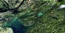
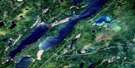
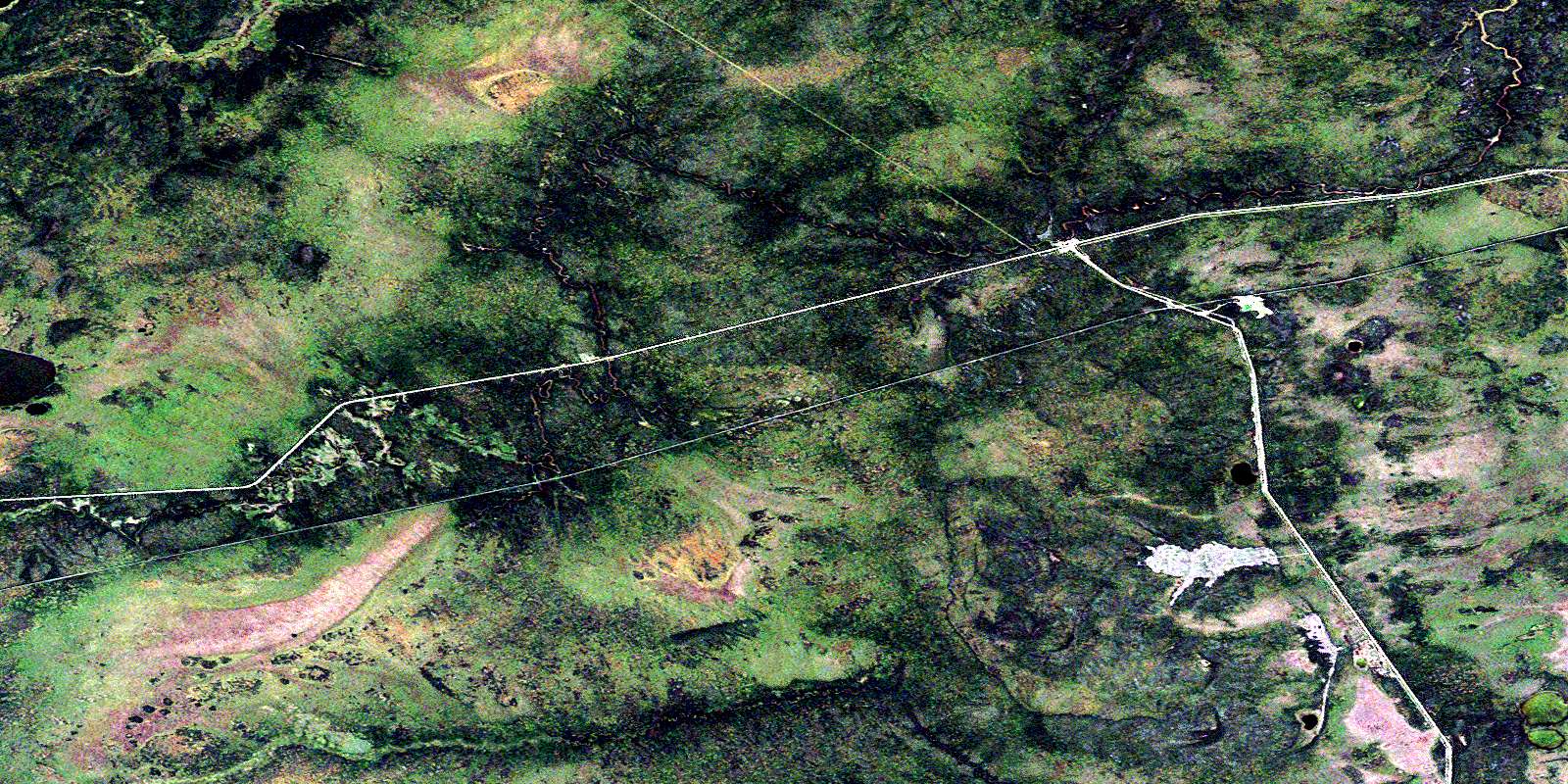
Tyrrell Satellite Image Map
Download Free Aerial Photo 063J11 at 1:50,000 scale
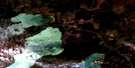
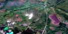
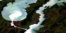
Tyrrell Satellite Imagery
To view this satellite map, mouse over the air photo on the right.
You can also download this satellite image map for free:
063J11 Tyrrell high-resolution satellite image map.
Maps for the Tyrrell aerial map sheet 063J11 at 1:50,000 scale are also available in these versions:
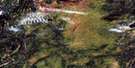
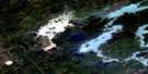
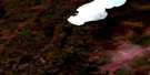
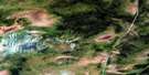
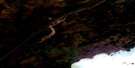
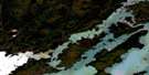
Tyrrell Surrounding Area Aerial Photo Maps
 |
 |
 |
 |
 |
 |
 |
 |
 |
 |
 |
 |
 |
 |
 |
 |
© Department of Natural Resources Canada. All rights reserved.
Tyrrell Gazetteer
The following places can be found on satellite image map 063J11 Tyrrell:
Tyrrell Satellite Image: Lakes
Lindsay LakeSaruk Lake
Tyrrell Satellite Image: Rivers
Hargrave RiverMitishto River
Watts River
Tyrrell Satellite Image: Unincorporated areas
PontonTurnbull
Tyrrell
© Department of Natural Resources Canada. All rights reserved.
063J Related Maps:
063J Weskusko Lake063J01 Kiskittogisu Lake
063J02 Kiskitto Lake
063J03 Gladish Lake
063J04 Talbot Lake
063J05 Hargrave Lake
063J06 Hargrave River
063J07 Hill Lake
063J08 Horsfall Island
063J09 Drunken Lake
063J10 Muhigan Lake
063J11 Tyrrell
063J12 Buzz Lake
063J13 Herb Lake
063J14 Saw Lake
063J15 Pakwa Lake
063J16 Duck Lake
