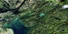
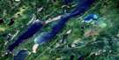
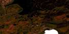
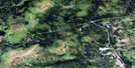
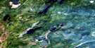
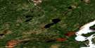
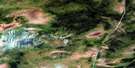
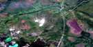
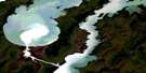
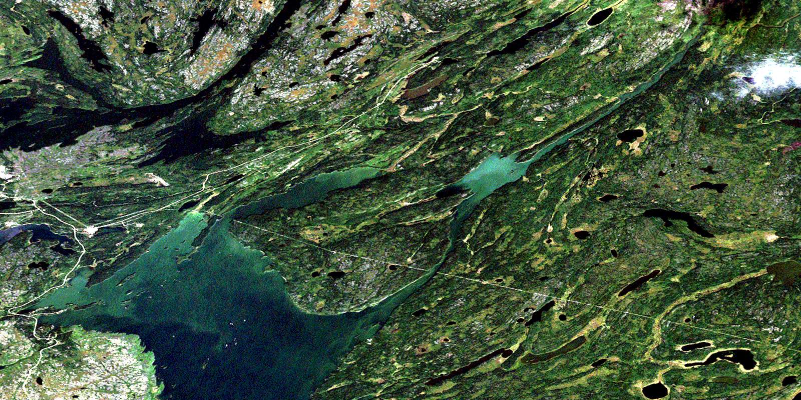
Herb Lake Satellite Image Map
Download Free Aerial Photo 063J13 at 1:50,000 scale
Herb Lake Satellite Imagery
To view this satellite map, mouse over the air photo on the right.
You can also download this satellite image map for free:
063J13 Herb Lake high-resolution satellite image map.
Maps for the Herb Lake aerial map sheet 063J13 at 1:50,000 scale are also available in these versions:
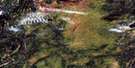
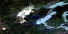
Herb Lake Surrounding Area Aerial Photo Maps
 |
 |
 |
 |
 |
 |
 |
 |
 |
 |
 |
 |
 |
 |
 |
 |
© Department of Natural Resources Canada. All rights reserved.
Herb Lake Gazetteer
The following places can be found on satellite image map 063J13 Herb Lake:
Herb Lake Satellite Image: Bays
Anderson BayAngus Bay
Barton Bay
Berry Bay
Crowduck Bay
English Bay
Herb Bay
Lesleys Bay
Northeast Bay
Puella Bay
Snow Bay
Southeast Bay
Southwest Bay
Stiles Bay
Stuart Bay
Taylor Bay
Vikers Bay
Wood Camp Bay
Herb Lake Satellite Image: Capes
Brady PointHackett Point
Wedge Point
Herb Lake Satellite Image: Channels
The NarrowsHerb Lake Satellite Image: Falls
Wekusko FallsHerb Lake Satellite Image: Islands
Ballard IslandBryenton Island
Campbell Island
Crowduck Islands
Dog Island
Donogh Island
English Island
Eureka Island
Hayes Island
Lucky Island
Rice Island
Shingle Beach Island
Steamboat Island
Woosey Island
Herb Lake Satellite Image: Lakes
Anderson LakeAtkins Lake
Bart Lake
Bazzlo Lake
Bob Lake
Calmain Lake
Chickadee Lake
Dion Lake
Griggs Lake
Hackett Lake
Hat Lake
Herblet Lake
Jean Lake
Johnson Lake
Judge Lake
Kormans Lake
Lost Frog Lake
Lostfrog Lake
Mary Lake
McCafferty Lake
Miller Lake
Morgan Lake
Morris Lake
Niblock Lake
Osborne Lake
Paterson Lake
Percy Lake
Pot Hole Lake
Rex Lakes
Roberts Lake
Rose Lake
Sails Lake
Senyk Lake
Snow Lake
Stall Lake
Stuart Lake
Tramping Lake
Vlassie Lake
Wekusko Lake
Wolverton Lake
Yukon Lake
Yunsko Lake
Herb Lake Satellite Image: Marine navigation features
Bartlett LandingKerr Liftover
Herb Lake Satellite Image: Conservation areas
Wekusko Falls Provincial ParkHerb Lake Satellite Image: Rivers
Anderson CreekBerry Creek
Carrier Creek
Dion Creek
Grass River
McCafferty Creek
Niblock Creek
Osborne Lake Creek
Rex Creek
Snow Creek
Stuart Creek
Wekusko Brook
Wolverton Creek
Wuskatasko Brook
Wuskatasko River
Herb Lake Satellite Image: Unincorporated areas
Herb LakeMcCafferty Landing
Osborne Lake
Stall Lake
Threehouse
© Department of Natural Resources Canada. All rights reserved.
063J Related Maps:
063J Weskusko Lake063J01 Kiskittogisu Lake
063J02 Kiskitto Lake
063J03 Gladish Lake
063J04 Talbot Lake
063J05 Hargrave Lake
063J06 Hargrave River
063J07 Hill Lake
063J08 Horsfall Island
063J09 Drunken Lake
063J10 Muhigan Lake
063J11 Tyrrell
063J12 Buzz Lake
063J13 Herb Lake
063J14 Saw Lake
063J15 Pakwa Lake
063J16 Duck Lake
