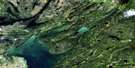
Horsfall Island Satellite Image Map
Download Free Aerial Photo 063J08 at 1:50,000 scale
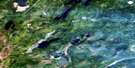
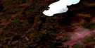
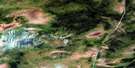
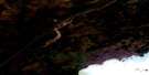
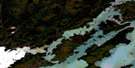
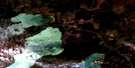
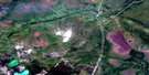
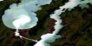
Horsfall Island Satellite Imagery
To view this satellite map, mouse over the air photo on the right.
You can also download this satellite image map for free:
063J08 Horsfall Island high-resolution satellite image map.
Maps for the Horsfall Island aerial map sheet 063J08 at 1:50,000 scale are also available in these versions:
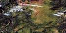
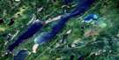
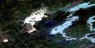
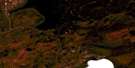
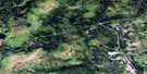
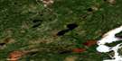
Horsfall Island Surrounding Area Aerial Photo Maps
 |
 |
 |
 |
 |
 |
 |
 |
 |
 |
 |
 |
 |
 |
 |
 |
© Department of Natural Resources Canada. All rights reserved.
Horsfall Island Gazetteer
The following places can be found on satellite image map 063J08 Horsfall Island:
Horsfall Island Satellite Image: Capes
Baker PointManitou Point
Horsfall Island Satellite Image: Channels
Nelson River (West Channel)Ominiwin By-Pass Channel
West Channel Nelson River
Whiskey Jack Narrows
Horsfall Island Satellite Image: Hydraulic construction
Kiskitto DamKiskitto Inlet Control Structure
Kiskitto Outlet Control Structure
Horsfall Island Satellite Image: Islands
Berry IslandGarlick Island
Horsfall Island
Metchanais Island
Ross Island
Tait Island
Taylor Island
Horsfall Island Satellite Image: Lakes
Kiskitto LakeKiskittogisu Lake
Lochhead Lake
Playgreen Lake
Horsfall Island Satellite Image: Marine navigation features
Whiskey JackHorsfall Island Satellite Image: Rapids
Kisipachewuk RapidsMetchanais Rapids
Ominawin Rapids
Horsfall Island Satellite Image: Rivers
Black Duck CreekKiskitto-Minago Drainage Channel
Horsfall Island Satellite Image: Unincorporated areas
Whiskey Jack Landing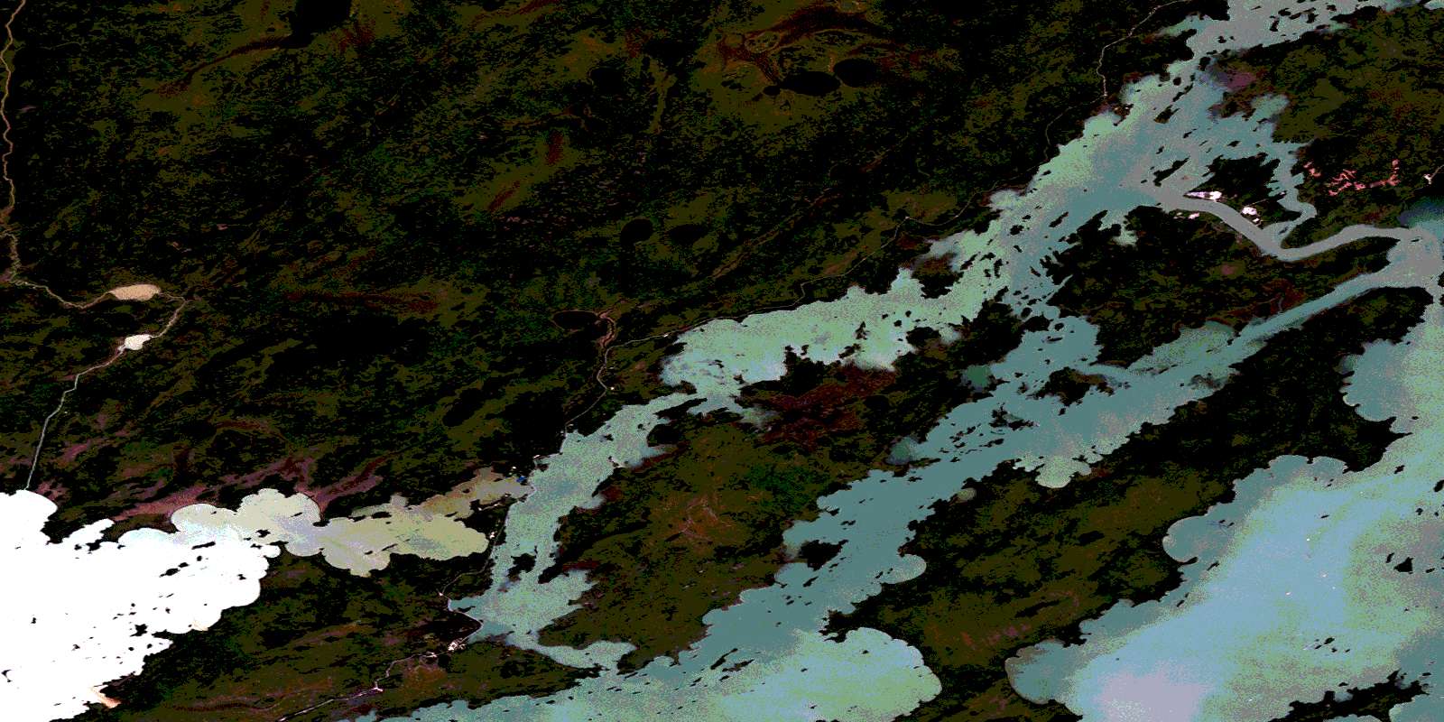
© Department of Natural Resources Canada. All rights reserved.
063J Related Maps:
063J Weskusko Lake063J01 Kiskittogisu Lake
063J02 Kiskitto Lake
063J03 Gladish Lake
063J04 Talbot Lake
063J05 Hargrave Lake
063J06 Hargrave River
063J07 Hill Lake
063J08 Horsfall Island
063J09 Drunken Lake
063J10 Muhigan Lake
063J11 Tyrrell
063J12 Buzz Lake
063J13 Herb Lake
063J14 Saw Lake
063J15 Pakwa Lake
063J16 Duck Lake
