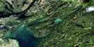
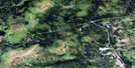
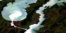
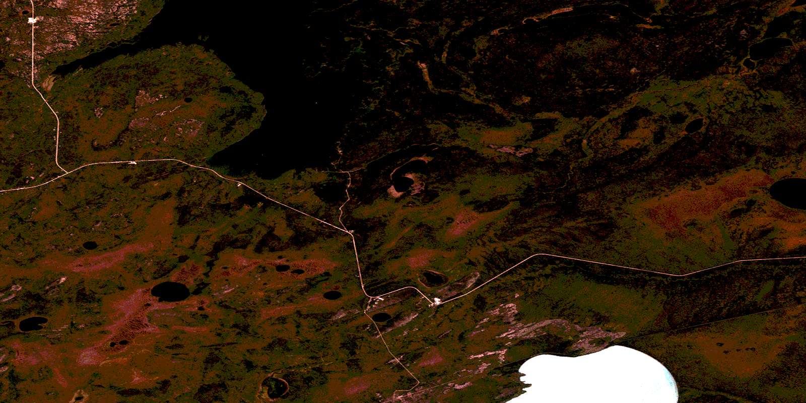
Buzz Lake Satellite Image Map
Download Free Aerial Photo 063J12 at 1:50,000 scale
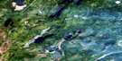
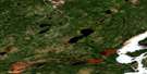
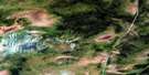
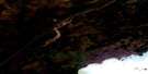
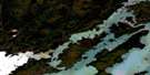
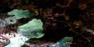
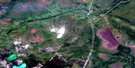
Buzz Lake Satellite Imagery
To view this satellite map, mouse over the air photo on the right.
You can also download this satellite image map for free:
063J12 Buzz Lake high-resolution satellite image map.
Maps for the Buzz Lake aerial map sheet 063J12 at 1:50,000 scale are also available in these versions:
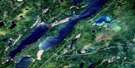
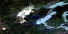
Buzz Lake Surrounding Area Aerial Photo Maps
 |
 |
 |
 |
 |
 |
 |
 |
 |
 |
 |
 |
 |
 |
 |
 |
© Department of Natural Resources Canada. All rights reserved.
Buzz Lake Gazetteer
The following places can be found on satellite image map 063J12 Buzz Lake:
Buzz Lake Satellite Image: Bays
Broad BayCook Bay
Goose Bay
Manitoba Basin
Puella Bay
Puella Bay
Sawmill Bay
Stuart Bay
Buzz Lake Satellite Image: Capes
Cann PointDawson Point
McCafferty Point
Buzz Lake Satellite Image: Lakes
Alward LakeBurns Lake
Buzz Lake
Godkin Lake
Hargrave Lake
Hubick Lake
Korski Lake
Langton Lake
Lindsay Lake
Monette Lake
South Lake
Sunday Lake
Walters Lake
Watch Lake
Wekusko Lake
Buzz Lake Satellite Image: Rivers
Dion CreekHargrave River
Hayward Creek
Manitoba Basin Creek
Mitishto River
Numas Creek
Watts River
Buzz Lake Satellite Image: Road features
McCafferty Lift OverBuzz Lake Satellite Image: Unincorporated areas
Cotes LandingHales Landing
Herb Lake Landing
Wekusko
© Department of Natural Resources Canada. All rights reserved.
063J Related Maps:
063J Weskusko Lake063J01 Kiskittogisu Lake
063J02 Kiskitto Lake
063J03 Gladish Lake
063J04 Talbot Lake
063J05 Hargrave Lake
063J06 Hargrave River
063J07 Hill Lake
063J08 Horsfall Island
063J09 Drunken Lake
063J10 Muhigan Lake
063J11 Tyrrell
063J12 Buzz Lake
063J13 Herb Lake
063J14 Saw Lake
063J15 Pakwa Lake
063J16 Duck Lake
