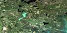
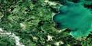
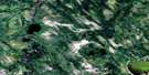
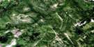
Leonard Lake Satellite Image Map
Download Free Aerial Photo 063L08 at 1:50,000 scale
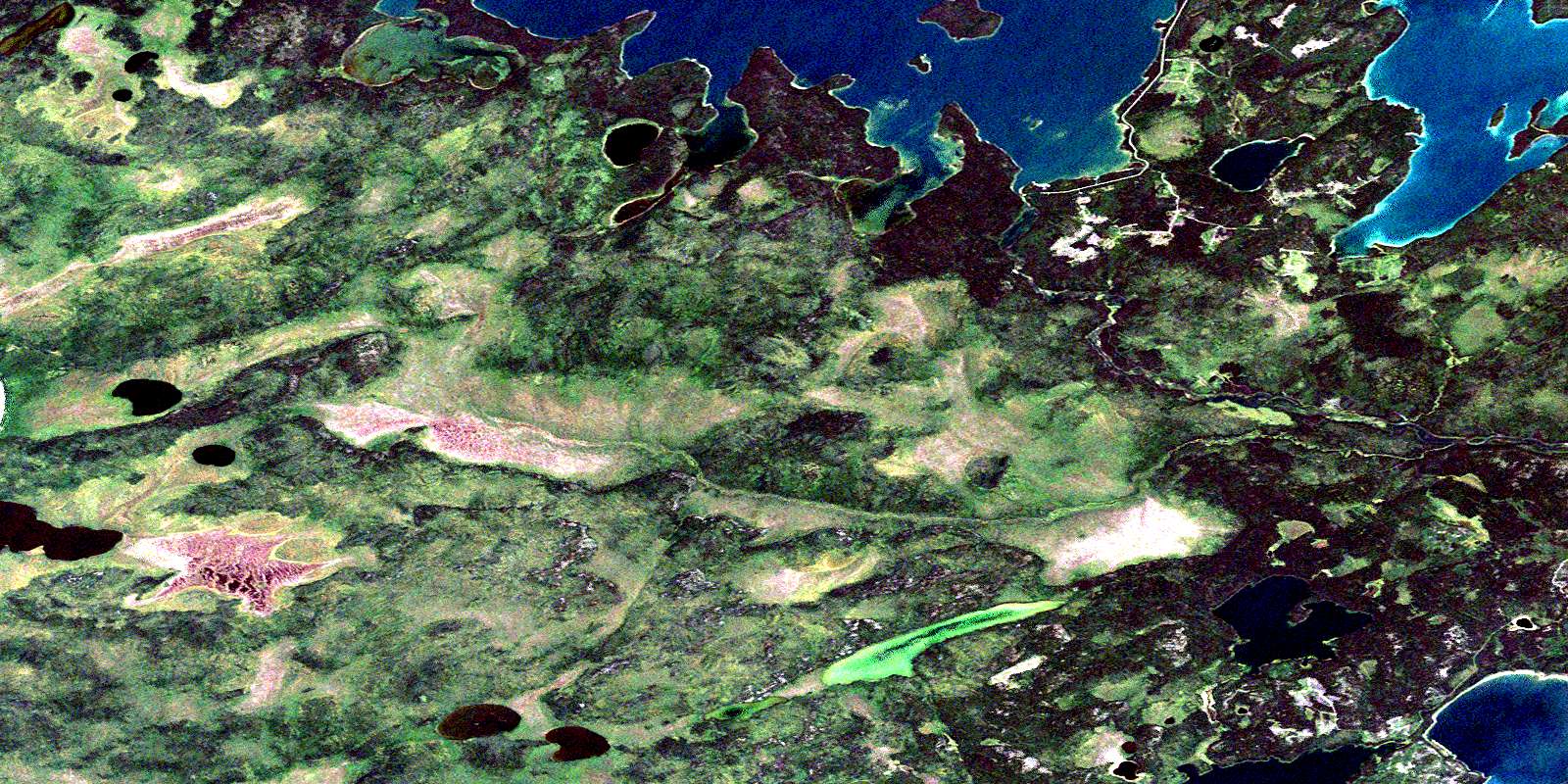
Leonard Lake Satellite Imagery
To view this satellite map, mouse over the air photo on the right.
You can also download this satellite image map for free:
063L08 Leonard Lake high-resolution satellite image map.
Maps for the Leonard Lake aerial map sheet 063L08 at 1:50,000 scale are also available in these versions:
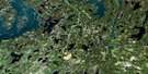
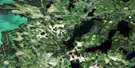
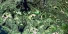
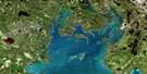
Leonard Lake Surrounding Area Aerial Photo Maps
 |
 |
 |
 |
 |
 |
 |
 |
 |
 |
 |
 |
 |
 |
 |
 |
© Department of Natural Resources Canada. All rights reserved.
Leonard Lake Gazetteer
The following places can be found on satellite image map 063L08 Leonard Lake:
Leonard Lake Satellite Image: Bays
McKenzie BayNewland Bay
Sturgeon Bay
Warehouse Bay
Leonard Lake Satellite Image: Islands
Newfoundland IslandLeonard Lake Satellite Image: Lakes
Amisk LakeLeonard Lake
Maraiche Lake
Namew Lake
Nejedley Lake
Nistum Lake
O'Leary Lake
Waterfall Lake
Windy Lake
Leonard Lake Satellite Image: Conservation areas
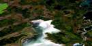
Amisk Lake Recreation SiteLeonard Lake Satellite Image: Rapids
Crooked RapidsSagitawow Rapids
Leonard Lake Satellite Image: Rivers
Foy CreekSturgeon-weir River
© Department of Natural Resources Canada. All rights reserved.
063L Related Maps:
063L Amisk Lake063L01 Archibald Lake
063L02 Pine Bluff
063L03 Loyns Lake
063L04 Red Bobs Lake
063L05 Seager Wheeler Lake
063L06 Saunders Lake
063L07 Suggi Lake
063L08 Leonard Lake
063L09 Denare Beach
063L10 Hanson Lake
063L11 Limestone Lake
063L12 Ballantyne Bay
063L13 Oskikebuk Lake
063L14 Viney Lake
063L15 Birch Portage
063L16 Annabel Lake
