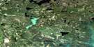
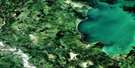
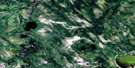
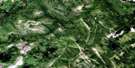
Hanson Lake Satellite Image Map
Download Free Aerial Photo 063L10 at 1:50,000 scale
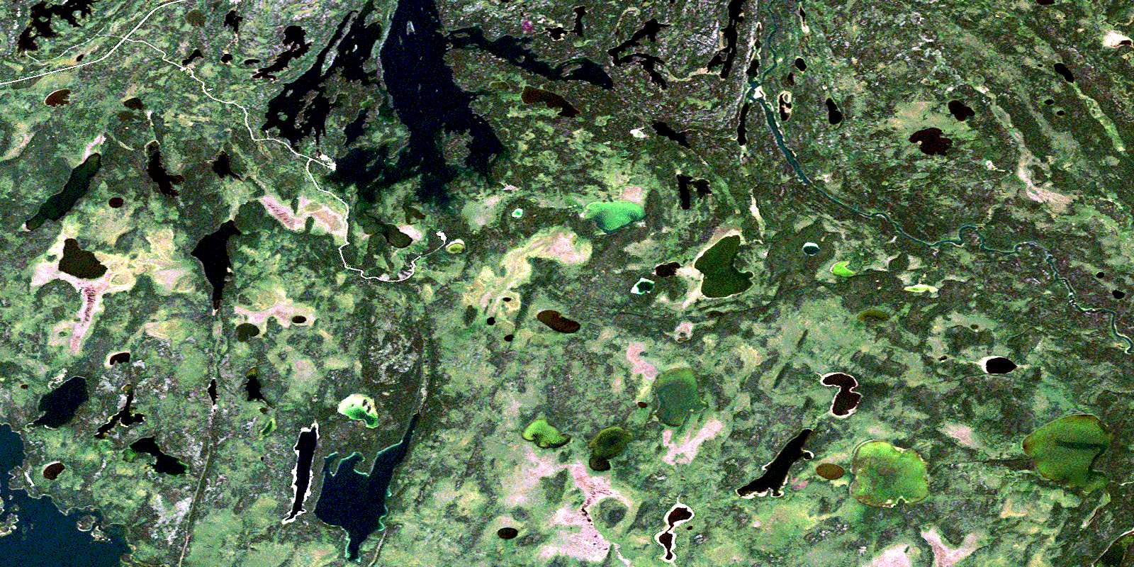
Hanson Lake Satellite Imagery
To view this satellite map, mouse over the air photo on the right.
You can also download this satellite image map for free:
063L10 Hanson Lake high-resolution satellite image map.
Maps for the Hanson Lake aerial map sheet 063L10 at 1:50,000 scale are also available in these versions:
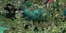
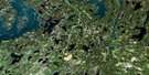
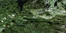
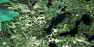
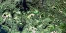
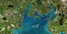
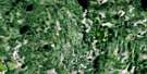
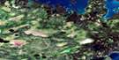
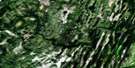
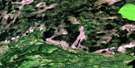
Hanson Lake Surrounding Area Aerial Photo Maps
 |
 |
 |
 |
 |
 |
 |
 |
 |
 |
 |
 |
 |
 |
 |
 |
© Department of Natural Resources Canada. All rights reserved.
Hanson Lake Gazetteer
The following places can be found on satellite image map 063L10 Hanson Lake:
Hanson Lake Satellite Image: Bays
Agnew BayBertrum Bay
Botham Bay
Burn Bay
Dacite Bay
Emerson Bay
Explorers Bay
Finger Bay
McIlvenna Bay
Middlemiss Bay
Pearce Bay
Sareco Bay
Winn Bay
Hanson Lake Satellite Image: Capes
Allen PeninsulaFinger Peninsula
Robinson Point
Hanson Lake Satellite Image: Islands
Bluebird IslandSareco Island
Seivewright Island
Winn Island
Hanson Lake Satellite Image: Lakes
Acheninni LakeAttree Lake
Bad Carrot Lake
Bay Lake
Blackduck Lake
Chip Lake
Chisholm Lake
Crang Lake
Fly Lakes
Geal Lake
Geol Lake
Guyader Lake
Halfway Lake
Hanson Lake
Hobbs Lake
Hollingdale Lake
Jackpine Lake
Keputch Lake
Kerr Lake
Leskiw Lake
McDermott Lake
Ministik Lake
Miskat Lake
Mitoskwun Lake
Morton Lake
Nicu Lake
Oatway Lake
Oskatukaw Lake
Pasowun Lake
Philmitchell Lake
Sakuwasin Lake
Samples Lake
Seahorse Lake
Sewap Lake
Shuttleworth Lake
Side Lake
Steeprock Lake
Stringer Lake
Tulabi Lake
Usinne Lake
Wakisew Lake
Wapusk Lake
Hanson Lake Satellite Image: Conservation areas
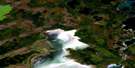
Hanson Lake Recreation SiteHanson Lake Satellite Image: Rapids
Snake RapidsHanson Lake Satellite Image: Rivers
Attree CreekBad Carrot River
Grassberry River
Hanson River
Howlett Creek
Sinclair Creek
Sturgeon-weir River
Williams Creek
© Department of Natural Resources Canada. All rights reserved.
063L Related Maps:
063L Amisk Lake063L01 Archibald Lake
063L02 Pine Bluff
063L03 Loyns Lake
063L04 Red Bobs Lake
063L05 Seager Wheeler Lake
063L06 Saunders Lake
063L07 Suggi Lake
063L08 Leonard Lake
063L09 Denare Beach
063L10 Hanson Lake
063L11 Limestone Lake
063L12 Ballantyne Bay
063L13 Oskikebuk Lake
063L14 Viney Lake
063L15 Birch Portage
063L16 Annabel Lake
