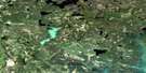
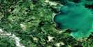
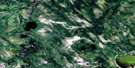
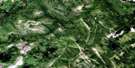
Annabel Lake Satellite Image Map
Download Free Aerial Photo 063L16 at 1:50,000 scale
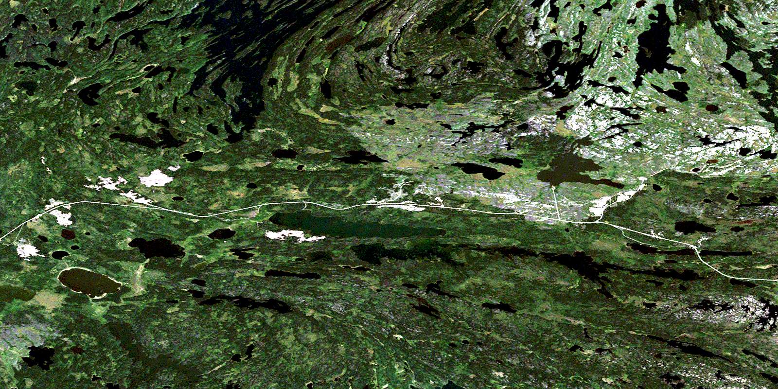
Annabel Lake Satellite Imagery
To view this satellite map, mouse over the air photo on the right.
You can also download this satellite image map for free:
063L16 Annabel Lake high-resolution satellite image map.
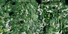
Maps for the Annabel Lake aerial map sheet 063L16 at 1:50,000 scale are also available in these versions:
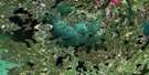
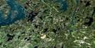
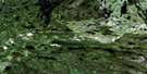
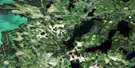
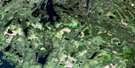
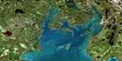
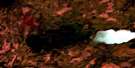
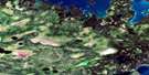
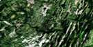
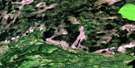
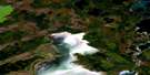
Annabel Lake Surrounding Area Aerial Photo Maps
 |
 |
 |
 |
 |
 |
 |
 |
 |
 |
 |
 |
 |
 |
 |
 |
© Department of Natural Resources Canada. All rights reserved.
Annabel Lake Gazetteer
The following places can be found on satellite image map 063L16 Annabel Lake:
Annabel Lake Satellite Image: Bays
Bartlam BayBellamy Bay
Gebert Bay
Jones Bay
Long Bay
Roberts Bay
Waldron Bay
West Arm
Williams Bay
Annabel Lake Satellite Image: Channels
North ChannelAnnabel Lake Satellite Image: Islands
Baller IslandFisher Island
Hoffman Island
Pechey Island
Reid Island
Annabel Lake Satellite Image: Lakes
Abbott LakeAhrens Lake
Alder Lake
Amisk Lake
Amy Lake
Annabel Lake
Apetow Lake
Arner Lake
Baht Lake
Batty Lake
Beatty Lake
Black Lake
Carr Lake
Cotteral Lake
Deadhorse Lake
FitzGerald Lake
Froom Lake
Grassy Lake
Hawman Lake
Jardine Lake
Johnson Lake
Judique Lake
Kibzey Lake
Le Barre Lake
Leach Lake
Lederhaus Lake
Limit Lake
Little Mari Lake
Little Otonadah Lake
Magdalen Lake
Mari Lake
Martin Lake
Maskunow Lake
Matheson Lake
Meridian Lake
Neagle Lake
Nesootao Lakes
Nichol Lake
Otonadah Lake
Phillips Lake
Prentice Lake
Raft Lake
Reynolds Lake
Ripley Lake
Russell Lake
Trent Lake
Tyreman Lake
Tyrrell Lake
Vass Lake
Walker Lake
Welsh Lake
Whitbread Lake
Wildfong Lake
Wildnest Lake
Wilson Lake
Wormworth Lake
Wye Lake
Yaskowich Lake
Young Lake
Annabel Lake Satellite Image: Military areas
Canadian Forces Station Flin FlonStation des Forces canadiennes Flin Flon
Annabel Lake Satellite Image: Conservation areas
Tyrell Lake Recreation SiteAnnabel Lake Satellite Image: Rivers
Annabel CreekMacdonald Creek
Robinson Creek
Wildnest River
© Department of Natural Resources Canada. All rights reserved.
063L Related Maps:
063L Amisk Lake063L01 Archibald Lake
063L02 Pine Bluff
063L03 Loyns Lake
063L04 Red Bobs Lake
063L05 Seager Wheeler Lake
063L06 Saunders Lake
063L07 Suggi Lake
063L08 Leonard Lake
063L09 Denare Beach
063L10 Hanson Lake
063L11 Limestone Lake
063L12 Ballantyne Bay
063L13 Oskikebuk Lake
063L14 Viney Lake
063L15 Birch Portage
063L16 Annabel Lake
