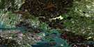
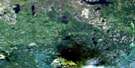
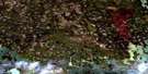
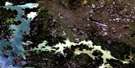
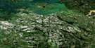
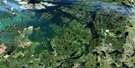
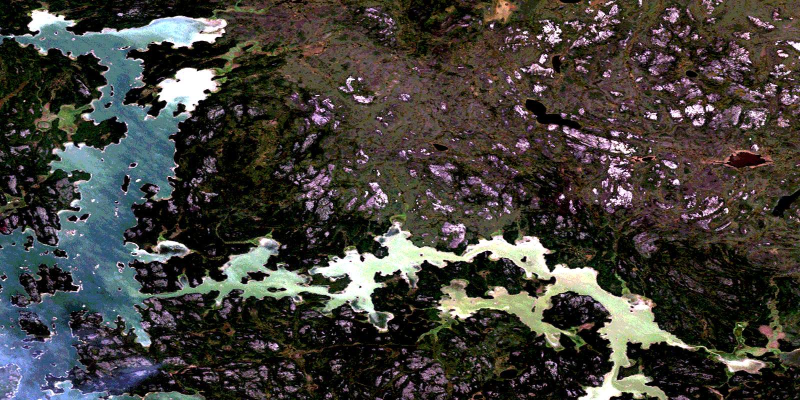
Highrock Lake Satellite Image Map
Download Free Aerial Photo 063N16 at 1:50,000 scale
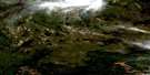
Highrock Lake Satellite Imagery
To view this satellite map, mouse over the air photo on the right.
You can also download this satellite image map for free:
063N16 Highrock Lake high-resolution satellite image map.
Maps for the Highrock Lake aerial map sheet 063N16 at 1:50,000 scale are also available in these versions:
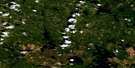
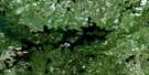
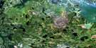
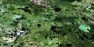
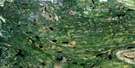
Highrock Lake Surrounding Area Aerial Photo Maps
 |
 |
 |
 |
 |
 |
 |
 |
 |
 |
 |
 |
 |
 |
 |
 |
© Department of Natural Resources Canada. All rights reserved.
Highrock Lake Gazetteer
The following places can be found on satellite image map 063N16 Highrock Lake:
Highrock Lake Satellite Image: Bays
Asowi BayCardonby Bay
Garden Bay
Kiokayo Bay
Kisayinewsepe Bay
Peecheetawaw Bay
Pimichiwun Bay
Highrock Lake Satellite Image: Beaches
Chepi BeachHighrock Lake Satellite Image: Capes
Iskoonikun PointKistikan Point
Outlaw Point
Willys Point
Highrock Lake Satellite Image: Channels
Atik NarrowsKiokayo Narrows
Macheepisikew Narrows
Opaskwa Narrows
Oskatuk Narrows
Yaykow Narrows
Highrock Lake Satellite Image: Falls
Twin FallsHighrock Lake Satellite Image: Indian Reserves
Highrock 199Highrock Lake Satellite Image: Islands
Baldwinson IslandCurleys Island
Kakakew Island
Misseministik Island
Munito Islands
Rogers Island
Usik Island
Wuchusk Island
Highrock Lake Satellite Image: Lakes
Apayukpaykaskisut LakeHighrock Lake
Nelson Lake
Umisk Lake
Wapoos Lake
Wupas Lake
Highrock Lake Satellite Image: Rivers
Churchill RiverKakakew Creek
Kiokayo River
Kisayinew River
Napamostoos Creek
Newunetan River
Otaskunuk Creek
Pisew River
Prière Creek
Rivière Churchill
St. Pierre River
Highrock Lake Satellite Image: Road features
Skookum PortageHighrock Lake Satellite Image: Unincorporated areas
HighrockPrayer River
© Department of Natural Resources Canada. All rights reserved.
063N Related Maps:
063N Kississing Lake063N01 Nightingale Lake
063N02 Batty Lake
063N03 Sherridon
063N04 Duval Lake
063N05 Kipahigan Lake
063N06 Lamont Lake
063N07 Takipy Lake
063N08 Burntwood Lake
063N09 Pahayo Lake
063N10 Flatrock Lake
063N11 Pukatawagan
063N12 Sisipuk Lake
063N13 Britton Lake
063N14 Llama Lake
063N15 Madsen Bay
063N16 Highrock Lake
